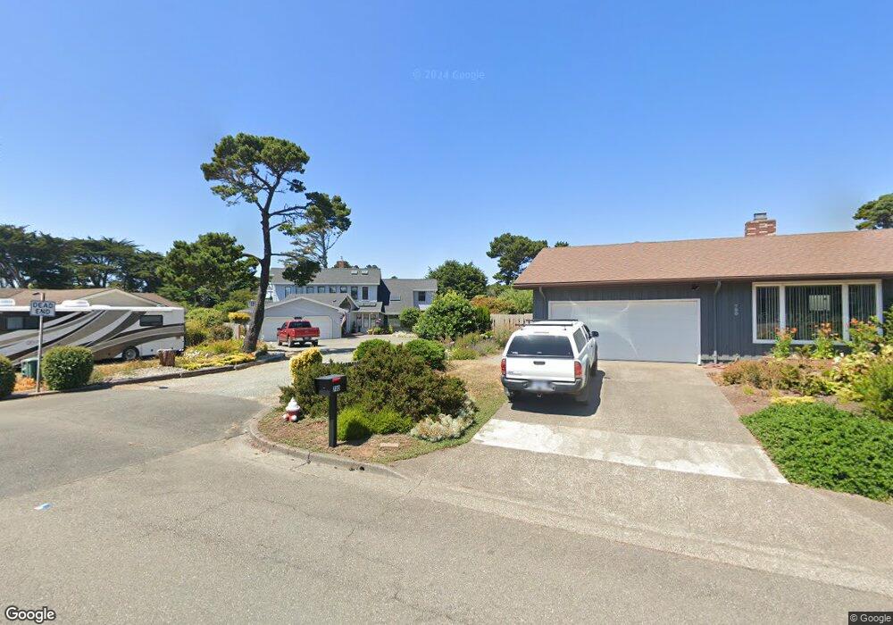
2626 Harrison Ave SW Bandon, OR 97411
Estimated Value: $597,437 - $652,000
3
Beds
2
Baths
1,992
Sq Ft
$314/Sq Ft
Est. Value
About This Home
This home is located at 2626 Harrison Ave SW, Bandon, OR 97411 and is currently estimated at $624,719, approximately $313 per square foot. 2626 Harrison Ave SW is a home located in Coos County with nearby schools including Ocean Crest Elementary School, Harbor Lights Middle School, and Bandon Senior High School.
Ownership History
Date
Name
Owned For
Owner Type
Purchase Details
Closed on
Apr 29, 2024
Sold by
Reid Julie Ann and Hidaka Robert Francis
Bought by
Reid Julie and Hidaka Robert F
Current Estimated Value
Purchase Details
Closed on
Mar 3, 2009
Sold by
Abercarn Ltd
Bought by
Reid Julie and Hidaka Robert F
Home Financials for this Owner
Home Financials are based on the most recent Mortgage that was taken out on this home.
Original Mortgage
$232,000
Interest Rate
5.08%
Mortgage Type
Purchase Money Mortgage
Create a Home Valuation Report for This Property
The Home Valuation Report is an in-depth analysis detailing your home's value as well as a comparison with similar homes in the area
Home Values in the Area
Average Home Value in this Area
Purchase History
| Date | Buyer | Sale Price | Title Company |
|---|---|---|---|
| Reid Julie | -- | None Listed On Document | |
| Reid Julie | $290,000 | Ticor Title Insurance |
Source: Public Records
Mortgage History
| Date | Status | Borrower | Loan Amount |
|---|---|---|---|
| Previous Owner | Reid Julie | $232,000 |
Source: Public Records
Tax History Compared to Growth
Tax History
| Year | Tax Paid | Tax Assessment Tax Assessment Total Assessment is a certain percentage of the fair market value that is determined by local assessors to be the total taxable value of land and additions on the property. | Land | Improvement |
|---|---|---|---|---|
| 2025 | $3,356 | $304,640 | -- | -- |
| 2024 | $3,320 | $295,770 | -- | -- |
| 2023 | $3,233 | $287,160 | $0 | $0 |
| 2022 | $3,246 | $278,800 | $0 | $0 |
| 2021 | $3,119 | $270,680 | $0 | $0 |
| 2020 | $2,832 | $270,680 | $0 | $0 |
| 2019 | $2,823 | $255,150 | $0 | $0 |
| 2018 | $2,654 | $247,720 | $0 | $0 |
| 2017 | $2,593 | $240,510 | $0 | $0 |
| 2016 | $2,513 | $233,510 | $0 | $0 |
| 2015 | $2,420 | $226,710 | $0 | $0 |
| 2014 | $2,438 | $220,110 | $0 | $0 |
Source: Public Records
Map
Nearby Homes
- 2688 Cascara Ave Unit 800
- 937 Carter St SW
- 2669 Cedar Loop
- 0 Shearwater Cir Unit 5 571389519
- 0 Shearwater Cir Unit 4 707067101
- 0 Shearwater Cir Unit 6 122187155
- 0 Shearwater Cir Unit 7 736374344
- 0 Shearwater Cir Unit 2 528258268
- 2653 Spinnaker Dr
- 2732 Lincoln Ave SW Unit 500
- 2710 Lincoln Ave SW Unit 200
- 2732 Lincoln Ave Unit 500&200
- 0 Harrison Rd Unit 23146745
- 2776 Lincoln Ave
- 0 Seabird Dr Unit 20122222
- 0 Seabird Dr Unit 24126926
- 0 Grant Place Unit 700 333258636
- 0 Beach Loop Dr SW Unit 201837812
- 00 Harrison Ave Lot B
- 2778 Colony Cir
- 2648 Harrison Ave
- 751 Carter St SW
- 739 Carter St SW
- 2631 Cascara Ave
- 2659 Cascara Ave
- 2660 Harrison Ave SW
- 2624 Cascara Ave
- 2635 Harrison Ave SW
- 803 Carter St SW
- 2611 Harrison Ave
- 2673 Cascara Ave
- 2625 Cascara Ave
- 825 Carter St SW
- 728 Rogers Place
- 756 Rogers Place
- 2603 Cascara Ave
- 2646 Cascara Ave
- 2612 Cedar Loop
- 2664 Cascara Ave
- 2624 Cedar Loop