2626 S Repper Trace New Bloomfield, MO 65063
Estimated Value: $381,000 - $449,000
--
Bed
2
Baths
1,966
Sq Ft
$210/Sq Ft
Est. Value
About This Home
This home is located at 2626 S Repper Trace, New Bloomfield, MO 65063 and is currently estimated at $413,134, approximately $210 per square foot. 2626 S Repper Trace is a home located in Callaway County with nearby schools including New Bloomfield Elementary School and New Bloomfield High School.
Ownership History
Date
Name
Owned For
Owner Type
Purchase Details
Closed on
Sep 29, 2023
Sold by
Sapp Clifford H and Revoc Shirley
Bought by
Bennett Kristepher E and Bennett Allensen G
Current Estimated Value
Home Financials for this Owner
Home Financials are based on the most recent Mortgage that was taken out on this home.
Original Mortgage
$270,000
Outstanding Balance
$264,661
Interest Rate
7.09%
Mortgage Type
New Conventional
Estimated Equity
$148,473
Purchase Details
Closed on
Nov 4, 2010
Sold by
Sapp Clifford H and Sapp Shirley A
Bought by
Sapp Clifford H and Sapp Shirley A
Create a Home Valuation Report for This Property
The Home Valuation Report is an in-depth analysis detailing your home's value as well as a comparison with similar homes in the area
Home Values in the Area
Average Home Value in this Area
Purchase History
| Date | Buyer | Sale Price | Title Company |
|---|---|---|---|
| Bennett Kristepher E | -- | None Listed On Document | |
| Sapp Clifford H | -- | None Available |
Source: Public Records
Mortgage History
| Date | Status | Borrower | Loan Amount |
|---|---|---|---|
| Open | Bennett Kristepher E | $270,000 |
Source: Public Records
Tax History Compared to Growth
Tax History
| Year | Tax Paid | Tax Assessment Tax Assessment Total Assessment is a certain percentage of the fair market value that is determined by local assessors to be the total taxable value of land and additions on the property. | Land | Improvement |
|---|---|---|---|---|
| 2024 | $2,297 | $38,871 | $0 | $0 |
| 2023 | $2,297 | $38,396 | $0 | $0 |
| 2022 | $2,264 | $38,396 | $1,608 | $36,788 |
| 2021 | $2,231 | $38,396 | $1,608 | $36,788 |
| 2020 | $2,234 | $38,396 | $1,608 | $36,788 |
| 2019 | $2,170 | $38,122 | $1,608 | $36,514 |
| 2018 | $2,177 | $38,122 | $1,608 | $36,514 |
| 2017 | $2,196 | $38,122 | $1,608 | $36,514 |
| 2016 | $2,211 | $38,380 | $0 | $0 |
| 2015 | $2,206 | $38,380 | $0 | $0 |
| 2014 | -- | $38,060 | $0 | $0 |
Source: Public Records
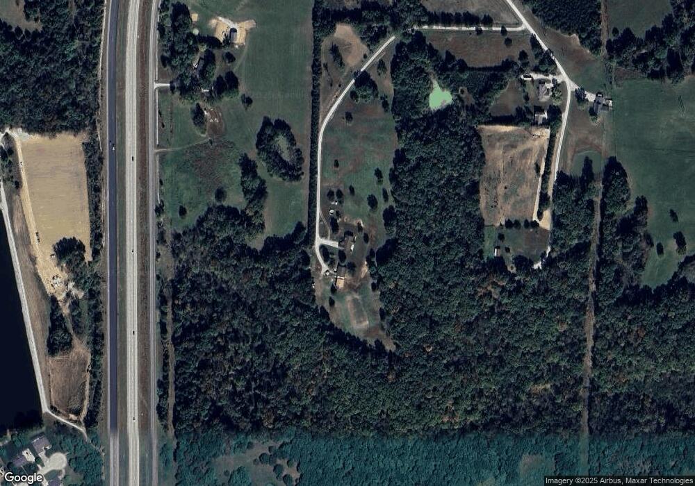
Map
Nearby Homes
- 10431 County Road 497
- 10407 County Road 497
- 133 Manview Ln
- 2962 County Road 496
- 10884 Country Aire Meadows Ct
- 10890 Country Aire Meadows Ct
- 10896 Country Aire Meadows Ct
- 10879 Country Aire Meadows Ct
- 2 Eagle View Spur
- LOT 7 Eagle View Spur
- LOT 6 Eagle View Spur
- LOT 8 Eagle Lake Ln
- 4 Eagle View Spur
- LOT 4 Eagle View Spur
- LOT 2 Eagle View Spur
- LOT 15 Eagle Lake Ln
- LOT 9 Eagle Lake Ln
- LOT 12 Eagle Lake Ln
- 10503 County Road 497
- 10503 497
- 10503 County Road 497
- 2626 County Road 498
- 2644 County Road 498
- 10508 County Road 497
- 2674 County Road 498
- 2657 County Road 498
- 2615 County Road 498
- 2675 County Road 498
- 2585 County Road 494
- 1 N Larand Dr
- 44 N Larand Dr
- 2705 County Road 498
- 2 N Larand Dr
- 43 N Larand Dr
- 42 N Larand Dr
- 3 N Larand Dr
- 41 N Larand Dr
- 5 N Larand Dr