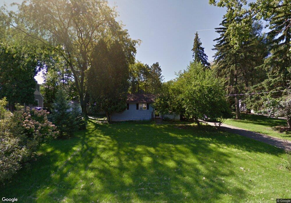
2627 Mansfield Dr East Lansing, MI 48823
Estimated Value: $192,582 - $245,000
3
Beds
2
Baths
936
Sq Ft
$227/Sq Ft
Est. Value
About This Home
This home is located at 2627 Mansfield Dr, East Lansing, MI 48823 and is currently estimated at $212,896, approximately $227 per square foot. 2627 Mansfield Dr is a home located in Ingham County with nearby schools including Bennett Woods Elementary School, Kinawa School, and Chippewa Middle School.
Ownership History
Date
Name
Owned For
Owner Type
Purchase Details
Closed on
Sep 20, 2002
Sold by
Hines Kenneth Joe and Hines Arlena Beatrice
Bought by
Forsman Lavone R
Current Estimated Value
Home Financials for this Owner
Home Financials are based on the most recent Mortgage that was taken out on this home.
Original Mortgage
$105,000
Outstanding Balance
$43,862
Interest Rate
6.24%
Mortgage Type
Purchase Money Mortgage
Estimated Equity
$169,034
Create a Home Valuation Report for This Property
The Home Valuation Report is an in-depth analysis detailing your home's value as well as a comparison with similar homes in the area
Home Values in the Area
Average Home Value in this Area
Purchase History
| Date | Buyer | Sale Price | Title Company |
|---|---|---|---|
| Forsman Lavone R | $105,000 | Transnation Title |
Source: Public Records
Mortgage History
| Date | Status | Borrower | Loan Amount |
|---|---|---|---|
| Open | Forsman Lavone R | $105,000 |
Source: Public Records
Tax History Compared to Growth
Tax History
| Year | Tax Paid | Tax Assessment Tax Assessment Total Assessment is a certain percentage of the fair market value that is determined by local assessors to be the total taxable value of land and additions on the property. | Land | Improvement |
|---|---|---|---|---|
| 2025 | $2,451 | $72,800 | $20,100 | $52,700 |
| 2024 | $2,258 | $68,100 | $19,200 | $48,900 |
| 2023 | $2,258 | $62,800 | $18,300 | $44,500 |
| 2022 | $2,171 | $54,800 | $15,600 | $39,200 |
| 2021 | $2,129 | $51,500 | $14,100 | $37,400 |
| 2020 | $2,079 | $49,100 | $14,100 | $35,000 |
| 2019 | $2,051 | $47,300 | $15,200 | $32,100 |
| 2018 | $1,955 | $46,600 | $15,600 | $31,000 |
| 2017 | $1,855 | $45,300 | $15,800 | $29,500 |
| 2016 | $810 | $43,100 | $14,900 | $28,200 |
| 2015 | $810 | $40,300 | $27,485 | $12,815 |
| 2014 | $810 | $36,500 | $23,720 | $12,780 |
Source: Public Records
Map
Nearby Homes
- 2617 Greencliff Dr
- 5120 Wardcliff Dr
- 1626 River Terrace
- 5189 E Brookfield Dr
- 5167 Sapphire Cir Unit 25
- 2545 Koala Dr
- 5162 Sapphire Cir Unit 31
- 4793 Ottawa Dr
- 5283 E Hidden Lake Dr Unit 47
- 2343 Sapphire Ln Unit 48
- 1653 Ann St
- 5420 Park Lake Rd
- 5435 Blue Haven Dr
- 2216 Iroquois Rd
- 5359 Wild Oak Dr Unit 54
- 1542 Ann St
- 5403 Wild Oak Dr
- 2462 Burcham Dr
- 2248 Kenmore Dr
- 692 Moorland Dr Unit 10
- 2617 Mansfield Dr
- 2635 Mansfield Dr
- 2645 Mansfield Dr
- 5033 Park Lake Rd
- 2628 Mansfield Dr
- 2618 Mansfield Dr
- 2636 Mansfield Dr
- 2608 Mansfield Dr
- 5056 Blue Haven Dr
- 2655 Mansfield Dr
- 2627 Rockwood Dr
- 2617 Rockwood Dr
- 2635 Rockwood Dr
- 2607 Rockwood Dr
- 5066 Blue Haven Dr
- 2663 Mansfield Dr
- 5030 Park Lake Rd
- 2671 Mansfield Dr