2627 Stevens Hwy Charlotte, MI 48813
Estimated Value: $213,000 - $251,000
--
Bed
--
Bath
1,368
Sq Ft
$170/Sq Ft
Est. Value
About This Home
This home is located at 2627 Stevens Hwy, Charlotte, MI 48813 and is currently estimated at $233,072, approximately $170 per square foot. 2627 Stevens Hwy is a home located in Eaton County with nearby schools including Fern Persons Elementary School, Olivet Middle School, and Olivet High School.
Ownership History
Date
Name
Owned For
Owner Type
Purchase Details
Closed on
Jul 24, 2014
Sold by
Mugford David E and Mugford Lori Jo
Bought by
Anderson David C and Anderson Jacqueline T
Current Estimated Value
Home Financials for this Owner
Home Financials are based on the most recent Mortgage that was taken out on this home.
Original Mortgage
$171,000
Outstanding Balance
$130,446
Interest Rate
4.2%
Mortgage Type
New Conventional
Estimated Equity
$102,626
Create a Home Valuation Report for This Property
The Home Valuation Report is an in-depth analysis detailing your home's value as well as a comparison with similar homes in the area
Home Values in the Area
Average Home Value in this Area
Purchase History
| Date | Buyer | Sale Price | Title Company |
|---|---|---|---|
| Anderson David C | $180,000 | Midstate Title Agency Llc |
Source: Public Records
Mortgage History
| Date | Status | Borrower | Loan Amount |
|---|---|---|---|
| Open | Anderson David C | $171,000 |
Source: Public Records
Tax History Compared to Growth
Tax History
| Year | Tax Paid | Tax Assessment Tax Assessment Total Assessment is a certain percentage of the fair market value that is determined by local assessors to be the total taxable value of land and additions on the property. | Land | Improvement |
|---|---|---|---|---|
| 2025 | $3,071 | $121,682 | $0 | $0 |
| 2024 | $1,008 | $118,755 | $0 | $0 |
| 2023 | $960 | $110,136 | $0 | $0 |
| 2022 | $2,842 | $103,626 | $0 | $0 |
| 2021 | $2,710 | $94,241 | $0 | $0 |
| 2020 | $2,668 | $88,454 | $0 | $0 |
| 2019 | $2,620 | $89,368 | $0 | $0 |
| 2018 | $2,560 | $79,229 | $0 | $0 |
| 2017 | $2,682 | $72,362 | $0 | $0 |
| 2016 | $2,589 | $74,631 | $0 | $0 |
| 2015 | $2,164 | $75,175 | $0 | $0 |
| 2014 | $2,164 | $68,560 | $0 | $0 |
| 2013 | -- | $68,495 | $0 | $0 |
Source: Public Records
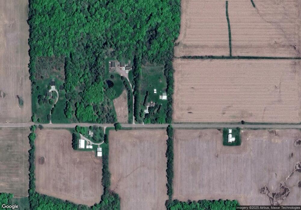
Map
Nearby Homes
- 1020 E Nye Hwy
- 1422 E Bellevue Hwy
- 3040 Luella Ln
- 8659 Narrow Lake Rd
- 8728 Lake Dr
- 8746 Lake Dr
- 3400 E 5 Point Hwy
- 998 E Butterfield Hwy
- 8839 Timber Ln
- 0 S Royston Rd Unit 285357
- 272 E 5 Point Hwy
- 26506 E Baseline Hwy
- 2632 Narrow Lake Rd
- 4954 Marshall Rd
- 975 Miller Hwy
- 1013 E Broadway Hwy
- 2278 Narrow Lake Rd
- 6698 Peck Rd
- 2335 Guernsey Dr
- 5051 Freeman Rd
- 2601 Stevens Hwy
- 2535 Stevens Hwy
- 6447 Narrow Lake Rd
- 2712 E Nye Hwy
- 2712 E Nye Hwy Unit 473
- 2662 E Nye Hwy
- 2608 E Nye Hwy
- 2528 E Nye Hwy
- 2828 E Nye Hwy
- 2505 E Nye Hwy
- 2293 E Nye Hwy
- 2293 E Ny
- 3079 E Nye Hwy
- 2225 E Nye Hwy
- 3111 Mahan Hwy
- 2021 Stevens Hwy
- 6582 Brookfield Rd
- 6719 Brookfield Rd
- 3182 Mahan Hwy
- 6600 Brookfield Rd