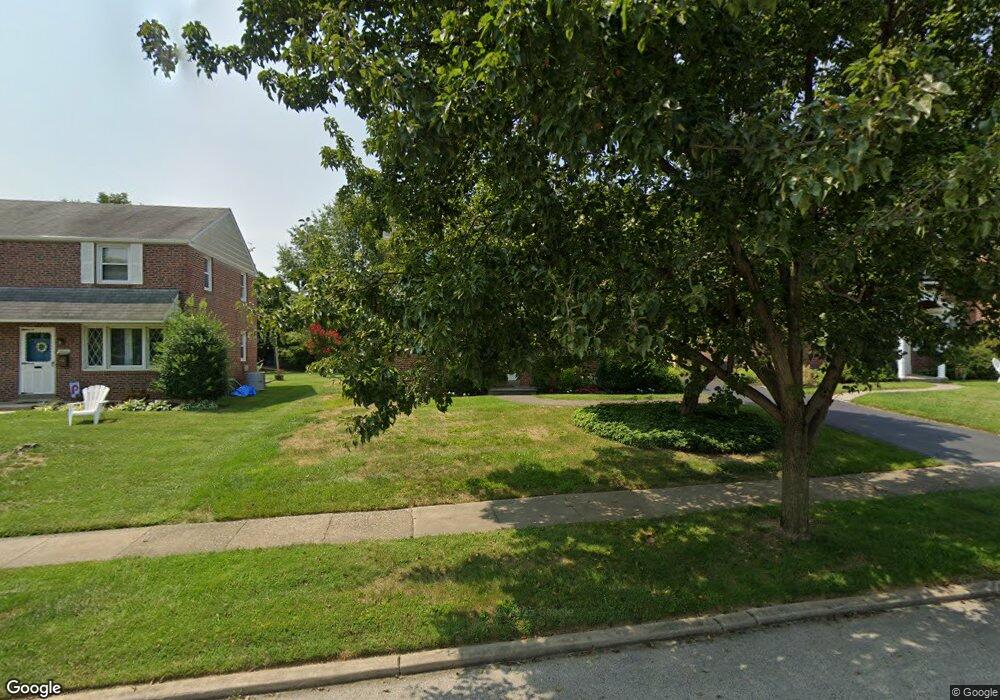
2628 Ashwood Dr Havertown, PA 19083
Estimated Value: $657,000 - $752,000
4
Beds
3
Baths
2,148
Sq Ft
$323/Sq Ft
Est. Value
About This Home
This home is located at 2628 Ashwood Dr, Havertown, PA 19083 and is currently estimated at $693,133, approximately $322 per square foot. 2628 Ashwood Dr is a home located in Delaware County with nearby schools including Coopertown Elementary School, Haverford Middle School, and Haverford Senior High School.
Ownership History
Date
Name
Owned For
Owner Type
Purchase Details
Closed on
Dec 16, 1985
Sold by
May Richard and May Judith
Bought by
Connelly Kathryn L
Current Estimated Value
Create a Home Valuation Report for This Property
The Home Valuation Report is an in-depth analysis detailing your home's value as well as a comparison with similar homes in the area
Home Values in the Area
Average Home Value in this Area
Purchase History
| Date | Buyer | Sale Price | Title Company |
|---|---|---|---|
| Connelly Kathryn L | $106,000 | -- |
Source: Public Records
Tax History Compared to Growth
Tax History
| Year | Tax Paid | Tax Assessment Tax Assessment Total Assessment is a certain percentage of the fair market value that is determined by local assessors to be the total taxable value of land and additions on the property. | Land | Improvement |
|---|---|---|---|---|
| 2025 | $9,169 | $356,580 | $101,050 | $255,530 |
| 2024 | $9,169 | $356,580 | $101,050 | $255,530 |
| 2023 | $8,908 | $356,580 | $101,050 | $255,530 |
| 2022 | $8,700 | $356,580 | $101,050 | $255,530 |
| 2021 | $14,173 | $356,580 | $101,050 | $255,530 |
| 2020 | $5,931 | $127,610 | $52,470 | $75,140 |
| 2019 | $5,822 | $127,610 | $52,470 | $75,140 |
| 2018 | $5,722 | $127,610 | $0 | $0 |
| 2017 | $5,601 | $127,610 | $0 | $0 |
| 2016 | $715 | $127,610 | $0 | $0 |
| 2015 | $715 | $127,610 | $0 | $0 |
| 2014 | $715 | $127,610 | $0 | $0 |
Source: Public Records
Map
Nearby Homes
- 201 Golf Hills Rd
- 2616 Prescott Rd
- 1447 Lawrence Rd
- 210 218 David Dr
- 101 Rockland Rd
- 2424 Delchester Ave
- 345 Ellis Rd
- 2300 Oakmont Ave
- 41 W Hillcrest Ave
- 333 Golf Hills Rd
- 1741 Lawrence Rd
- 45 Garlor Dr
- 1702 Melrose Ave
- 25 Oak Ln
- 1321 Annabella Ave
- 1510 Ashton Rd
- 1442 Dorchester Rd
- 2110 Bellemead Ave
- 524 Ellis Rd
- 133 Quaker Ln
- 2632 Ashwood Dr
- 2624 Ashwood Dr
- 2636 Ashwood Dr
- 2620 Ashwood Dr
- 221 Merrybrook Dr
- 225 Merrybrook Dr
- 2640 Ashwood Dr
- 217 Merrybrook Dr
- 2616 Ashwood Dr
- 229 Merrybrook Dr
- 213 Merrybrook Dr
- 2629 Ashwood Dr
- 2633 Ashwood Dr
- 2625 Ashwood Dr
- 2644 Ashwood Dr
- 233 Merrybrook Dr
- 2612 Ashwood Dr
- 2637 Ashwood Dr
- 2621 Ashwood Dr
- 209 Merrybrook Dr