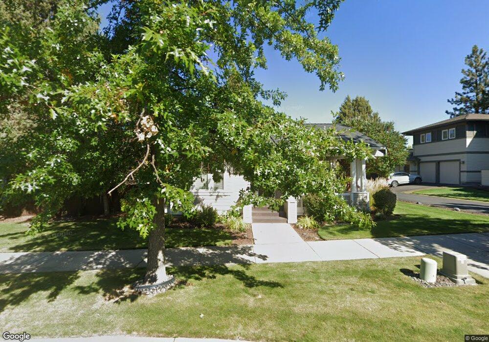
2628 NW Shields Dr Bend, OR 97701
Summit West NeighborhoodEstimated Value: $930,000 - $999,493
3
Beds
2
Baths
1,660
Sq Ft
$582/Sq Ft
Est. Value
About This Home
This home is located at 2628 NW Shields Dr, Bend, OR 97701 and is currently estimated at $966,623, approximately $582 per square foot. 2628 NW Shields Dr is a home located in Deschutes County with nearby schools including High Lakes Elementary School, Pacific Crest Middle School, and Summit High School.
Ownership History
Date
Name
Owned For
Owner Type
Purchase Details
Closed on
Aug 24, 2011
Sold by
Haynes Christi E
Bought by
Warmenhoven Craig S and Warmenhoven Darby L
Current Estimated Value
Home Financials for this Owner
Home Financials are based on the most recent Mortgage that was taken out on this home.
Original Mortgage
$283,500
Outstanding Balance
$181,342
Interest Rate
3%
Mortgage Type
New Conventional
Estimated Equity
$785,281
Purchase Details
Closed on
Aug 2, 2005
Sold by
Brooks Resources Corp
Bought by
Haynes Christi E
Create a Home Valuation Report for This Property
The Home Valuation Report is an in-depth analysis detailing your home's value as well as a comparison with similar homes in the area
Home Values in the Area
Average Home Value in this Area
Purchase History
| Date | Buyer | Sale Price | Title Company |
|---|---|---|---|
| Warmenhoven Craig S | $315,000 | Amerititle | |
| Haynes Christi E | $95,060 | Amerititle |
Source: Public Records
Mortgage History
| Date | Status | Borrower | Loan Amount |
|---|---|---|---|
| Open | Warmenhoven Craig S | $283,500 |
Source: Public Records
Tax History Compared to Growth
Tax History
| Year | Tax Paid | Tax Assessment Tax Assessment Total Assessment is a certain percentage of the fair market value that is determined by local assessors to be the total taxable value of land and additions on the property. | Land | Improvement |
|---|---|---|---|---|
| 2024 | $4,734 | $282,760 | -- | -- |
| 2023 | $4,389 | $274,530 | $0 | $0 |
| 2022 | $4,095 | $258,780 | $0 | $0 |
| 2021 | $4,101 | $251,250 | $0 | $0 |
| 2020 | $3,891 | $251,250 | $0 | $0 |
| 2019 | $3,782 | $243,940 | $0 | $0 |
| 2018 | $3,676 | $236,840 | $0 | $0 |
| 2017 | $3,568 | $229,950 | $0 | $0 |
| 2016 | $3,403 | $223,260 | $0 | $0 |
| 2015 | $3,308 | $216,760 | $0 | $0 |
| 2014 | $3,211 | $210,450 | $0 | $0 |
Source: Public Records
Map
Nearby Homes
- 2580 NW Shields Dr
- 1562 NW Lepage Place
- 1650 NW Lewis St Unit 4
- 1553 NW Lewis St
- 2455 NW Shevlin Park Rd
- 1676 NW William Clark St
- 2612 NW Lemhi Pass Dr
- 2589 NW Lemhi Pass Dr
- 2234 NW Reserve Camp Ct
- 1525 NW Silas Place
- 1313 NW Fort Clatsop St
- 1368 NW Discovery Park Dr
- 2927 NW Celilo Ln
- 1703 NW Fields St
- 2571 NW Monterey Pines Dr
- 2827 NW Polarstar Ave
- 2429 NW Dorion Way
- 1251 NW Stanhope Way Unit 250
- 2084 NW Shiraz Ct
- 2417 NW Dorion Way
- 2634 NW Shields Dr
- 2616 NW Shields Dr
- 2646 NW Shields Dr
- 1695 NW John Fremont St
- 1694 NW John Fremont St
- 2604 NW Shields Dr
- 2658 NW Shields Dr
- 1657 NW John Fremont St
- 1656 NW John Fremont St
- 2664 NW Shields Dr
- 1619 NW John Fremont St
- 1690 NW Lepage Place
- 1674 N West Lepage Place
- 1674 NW Lepage Place
- 1618 NW John Fremont St
- 1656 NW Lepage Place
- 1581 NW John Fremont St
- 2676 NW Shields Dr
- 2588 NW Shields Dr
- 1667 NW Lewis St Unit 219