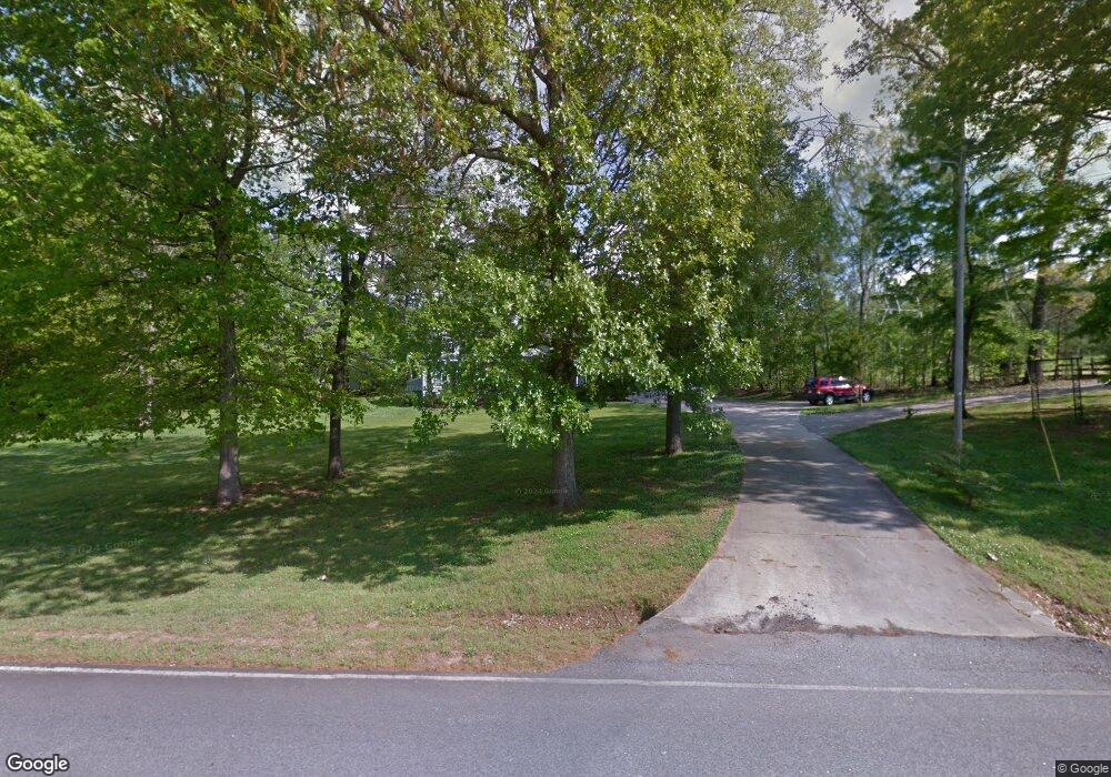
2628 Smokey Rd Newnan, GA 30263
Estimated Value: $360,919 - $426,000
3
Beds
2
Baths
2,252
Sq Ft
$176/Sq Ft
Est. Value
About This Home
This home is located at 2628 Smokey Rd, Newnan, GA 30263 and is currently estimated at $395,730, approximately $175 per square foot. 2628 Smokey Rd is a home located in Coweta County with nearby schools including Ruth Hill Elementary School, Smokey Road Middle School, and Newnan High School.
Ownership History
Date
Name
Owned For
Owner Type
Purchase Details
Closed on
Oct 28, 2003
Sold by
Gowen Michael E
Bought by
Gowen Michael E and Gowen Sharon
Current Estimated Value
Home Financials for this Owner
Home Financials are based on the most recent Mortgage that was taken out on this home.
Original Mortgage
$108,000
Interest Rate
6%
Mortgage Type
New Conventional
Purchase Details
Closed on
Jun 25, 1993
Bought by
Gowen Michael E
Purchase Details
Closed on
Feb 17, 1989
Bought by
Gowen Michael E and Gowen Sh
Create a Home Valuation Report for This Property
The Home Valuation Report is an in-depth analysis detailing your home's value as well as a comparison with similar homes in the area
Home Values in the Area
Average Home Value in this Area
Purchase History
| Date | Buyer | Sale Price | Title Company |
|---|---|---|---|
| Gowen Michael E | -- | -- | |
| Gowen Michael E | -- | -- | |
| Gowen Michael E | $8,000 | -- |
Source: Public Records
Mortgage History
| Date | Status | Borrower | Loan Amount |
|---|---|---|---|
| Closed | Gowen Michael E | $108,000 |
Source: Public Records
Tax History Compared to Growth
Tax History
| Year | Tax Paid | Tax Assessment Tax Assessment Total Assessment is a certain percentage of the fair market value that is determined by local assessors to be the total taxable value of land and additions on the property. | Land | Improvement |
|---|---|---|---|---|
| 2025 | $2,445 | $108,813 | $9,036 | $99,776 |
| 2024 | $2,402 | $108,067 | $9,036 | $99,031 |
| 2023 | $2,402 | $114,352 | $12,288 | $102,064 |
| 2022 | $1,931 | $83,104 | $7,022 | $76,082 |
| 2021 | $1,880 | $76,072 | $6,688 | $69,384 |
| 2020 | $1,891 | $76,072 | $6,688 | $69,384 |
| 2019 | $1,876 | $68,896 | $10,966 | $57,929 |
| 2018 | $1,880 | $68,896 | $10,966 | $57,929 |
| 2017 | $1,879 | $68,896 | $10,966 | $57,930 |
| 2016 | $1,859 | $68,896 | $10,966 | $57,929 |
| 2015 | $1,830 | $68,896 | $10,966 | $57,929 |
| 2014 | $1,818 | $68,896 | $10,966 | $57,929 |
Source: Public Records
Map
Nearby Homes
- 831 Holbrook Rd
- 0 Old Smokey Rd
- 0 George Arnold Rd Unit 7657652
- 1861 Smokey Rd
- 1845 Smokey Rd
- 15 Forest Place
- 1109 Old Corinth Rd
- 780 Bruce Jackson Rd
- 175 Joe Brown Rd
- 56 Fox Hollow Run
- 975 Blalock Lakes Dr
- 729 Bruce Jackson Rd
- 407 Earl North Rd
- 19 Quimby Jackson Rd
- 164 I Walker Brooks Rd
- 4059 Smokey Rd
- 130 Mallard Dr
- 715 Earl North Rd
- 15 Dixon Rd
- 84 Pierce Chapel Rd
- 2684 Smokey Rd
- 50 Smokey Rd
- 2609 Smokey Rd
- 2485 Smokey Rd
- 2775 Smokey Rd
- 2475 Smokey Rd
- 2463 Smokey Rd
- 2663 Smokey Rd
- 2781 Smokey Rd
- 2460 Smokey Rd
- 68 Chandler Rd
- Lot 2 Smokey Rd
- 1055 Holbrook Rd
- 2355 Smokey Rd
- 1117 Holbrook Rd
- 2376 Smokey Rd
- 2886 Smokey Rd
- 981 Holbrook Rd
- 61 Chandler Rd
- 2310 Smokey Rd