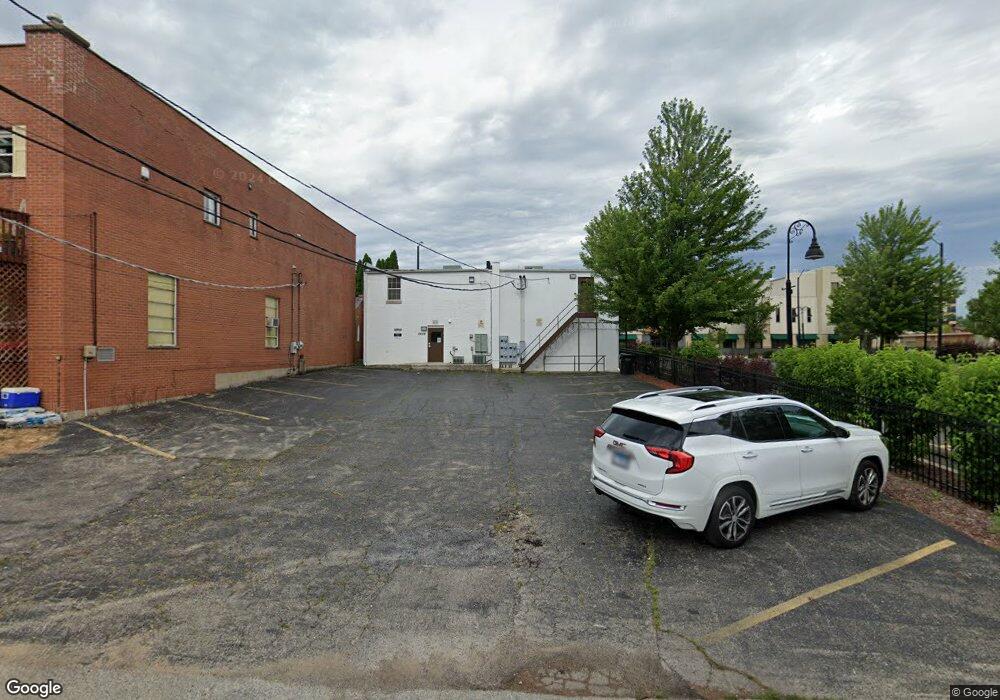
2629 Sheridan Rd Zion, IL 60099
Central Zion Neighborhood
--
Bed
--
Bath
4,520
Sq Ft
6,970
Sq Ft Lot
About This Home
This home is located at 2629 Sheridan Rd, Zion, IL 60099. 2629 Sheridan Rd is a home located in Lake County with nearby schools including East Elementary School, Zion Central Middle School, and Zion-Benton Township High School.
Ownership History
Date
Name
Owned For
Owner Type
Purchase Details
Closed on
Feb 2, 2024
Sold by
Mon Ami Properties Llc
Bought by
Morrianna Real Estate Group Llc
Purchase Details
Closed on
Jul 28, 2017
Sold by
Norstates Bank
Bought by
Mon Ami Properties Llc
Home Financials for this Owner
Home Financials are based on the most recent Mortgage that was taken out on this home.
Original Mortgage
$1,822,500
Interest Rate
3.96%
Mortgage Type
Commercial
Purchase Details
Closed on
Jun 21, 2013
Sold by
Lake County Sheriff
Bought by
Norstates Bank
Purchase Details
Closed on
Jul 23, 2003
Sold by
Lasalle Bank Na
Bought by
Bank Of Waukegan and Trust #204027
Create a Home Valuation Report for This Property
The Home Valuation Report is an in-depth analysis detailing your home's value as well as a comparison with similar homes in the area
Home Values in the Area
Average Home Value in this Area
Purchase History
| Date | Buyer | Sale Price | Title Company |
|---|---|---|---|
| Morrianna Real Estate Group Llc | $123,000 | None Listed On Document | |
| Mon Ami Properties Llc | $110,000 | None Available | |
| Norstates Bank | -- | None Available | |
| Bank Of Waukegan | $253,000 | -- |
Source: Public Records
Mortgage History
| Date | Status | Borrower | Loan Amount |
|---|---|---|---|
| Previous Owner | Mon Ami Properties Llc | $1,822,500 |
Source: Public Records
Tax History Compared to Growth
Tax History
| Year | Tax Paid | Tax Assessment Tax Assessment Total Assessment is a certain percentage of the fair market value that is determined by local assessors to be the total taxable value of land and additions on the property. | Land | Improvement |
|---|---|---|---|---|
| 2024 | $8,760 | $71,068 | $15,920 | $55,148 |
| 2023 | $7,578 | $63,363 | $14,194 | $49,169 |
| 2022 | $7,578 | $53,019 | $20,975 | $32,044 |
| 2021 | $7,846 | $49,736 | $19,676 | $30,060 |
| 2020 | $7,694 | $46,779 | $18,506 | $28,273 |
| 2019 | $7,442 | $43,576 | $17,239 | $26,337 |
| 2018 | $10,929 | $43,576 | $17,239 | $26,337 |
| 2017 | $14,195 | $74,351 | $15,992 | $58,359 |
| 2016 | $13,476 | $67,494 | $14,517 | $52,977 |
| 2015 | $13,140 | $61,241 | $13,172 | $48,069 |
| 2014 | $14,105 | $67,888 | $15,267 | $52,621 |
| 2012 | $12,295 | $72,298 | $16,259 | $56,039 |
Source: Public Records
Map
Nearby Homes
- 2712 Elizabeth Ave
- 2804 Elim Ave
- 2811 Elim Ave
- 2805 Emmaus Ave
- 2816 Emmaus Ave
- 2818 Emmaus Ave
- 900 Shiloh Blvd
- 2903 Emmaus Ave
- 2911 Emmaus Ave
- 2819 Eshcol Ave
- 3011 Emmaus Ave
- 2275 Sheridan Rd
- 2900 Bethel Blvd
- 3016 Eshcol Ave
- 3111 Elizabeth Ave
- 1101 21st St
- 2100 Edina Blvd
- 3220 Emmaus Ave
- 2738 Gabriel Ave
- 3200 Eshcol Ave
- 2633 Sheridan Rd
- 2655 Sheridan Rd
- 2606 Elim Ave
- 2632 Sheridan Rd
- 2626 Sheridan Rd
- 2608 Elim Ave
- 2657 Sheridan Rd
- 2604 Elim Ave
- 2610 Elim Ave
- 2602 Elim Ave
- 2661 Sheridan Rd
- 2612 Elim Ave
- 2626 N Sheridan Rd
- 2636 Sheridan Rd
- 2640 Sheridan Rd
- 2600 Elim Ave
- 2600 Elim Ave Unit 2
- 2600 Elim Ave Unit 1
- 2600 Elim Ave
- 2600 Elim Ave Unit 3