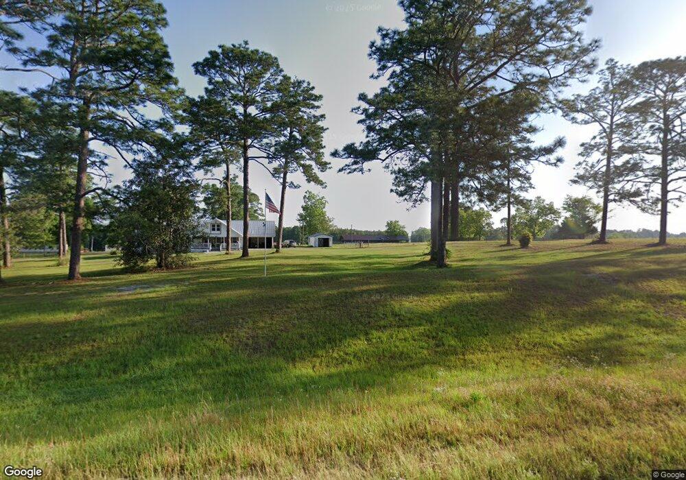
2629 Us Highway 82 E Poulan, GA 31781
Estimated Value: $290,000 - $386,000
3
Beds
2
Baths
4,040
Sq Ft
$82/Sq Ft
Est. Value
About This Home
This home is located at 2629 Us Highway 82 E, Poulan, GA 31781 and is currently estimated at $333,258, approximately $82 per square foot. 2629 Us Highway 82 E is a home located in Worth County with nearby schools including Worth County Primary School, Worth County Elementary School, and Worth County Middle School.
Ownership History
Date
Name
Owned For
Owner Type
Purchase Details
Closed on
Dec 19, 2014
Sold by
Cooper Ronald Mike
Bought by
Cooper Anthony L
Current Estimated Value
Home Financials for this Owner
Home Financials are based on the most recent Mortgage that was taken out on this home.
Original Mortgage
$149,025
Outstanding Balance
$114,614
Interest Rate
4.03%
Mortgage Type
New Conventional
Estimated Equity
$218,644
Purchase Details
Closed on
Nov 30, 2005
Sold by
Cooper Rubye
Bought by
Youmans Dolan
Purchase Details
Closed on
Jun 2, 2005
Sold by
Cooper Charles Leroy
Bought by
Cooper Rubye
Create a Home Valuation Report for This Property
The Home Valuation Report is an in-depth analysis detailing your home's value as well as a comparison with similar homes in the area
Home Values in the Area
Average Home Value in this Area
Purchase History
| Date | Buyer | Sale Price | Title Company |
|---|---|---|---|
| Cooper Anthony L | $175,000 | -- | |
| Youmans Dolan | $55,000 | -- | |
| Cooper Rubye | $160,000 | -- |
Source: Public Records
Mortgage History
| Date | Status | Borrower | Loan Amount |
|---|---|---|---|
| Open | Cooper Anthony L | $149,025 |
Source: Public Records
Tax History Compared to Growth
Tax History
| Year | Tax Paid | Tax Assessment Tax Assessment Total Assessment is a certain percentage of the fair market value that is determined by local assessors to be the total taxable value of land and additions on the property. | Land | Improvement |
|---|---|---|---|---|
| 2024 | $2,533 | $81,399 | $21,923 | $59,476 |
| 2023 | $2,533 | $74,737 | $21,923 | $52,814 |
| 2022 | $2,344 | $74,737 | $21,923 | $52,814 |
| 2021 | $2,322 | $74,737 | $21,923 | $52,814 |
| 2020 | $2,325 | $74,737 | $21,923 | $52,814 |
| 2019 | $2,325 | $74,722 | $21,908 | $52,814 |
| 2018 | $2,141 | $74,722 | $21,908 | $52,814 |
| 2017 | $2,141 | $74,722 | $21,908 | $52,814 |
| 2016 | $2,141 | $74,722 | $21,908 | $52,814 |
| 2015 | $2,009 | $74,722 | $21,908 | $52,814 |
| 2014 | $2,145 | $70,000 | $20,524 | $49,476 |
| 2013 | -- | $74,028 | $21,214 | $52,814 |
| 2012 | -- | $74,028 | $21,213 | $52,814 |
Source: Public Records
Map
Nearby Homes
- 112 Courtney Cir
- 102 Courtney Cir
- 0 U S Highway 82
- 376 West Rd
- 0 Highway 82
- 565 Sands Dr Unit 8
- 565 Sands Dr
- 0 Sands Dr
- 0 P T Salter Rd Unit 138997
- 196 Griffin Houston Rd
- 1017 Sumner Rd S
- 107 Dunbar Cir
- 103 Dunbar Cir
- 0 Multiple Lots Unit 138826
- 106 Rosewood Dr
- 314 E Hobson St
- 302 Sadler St
- 307 E Hobson St
- 202A E Welch St
- 104 Lynn Cir
- 2613 Us Highway 82 E
- 108 West Rd
- 2619 E Us Highway 82 E
- 2602 Us Highway 82 E
- 2603 Us Highway 82 E
- 2717 Us Highway 82 E
- 138 West Rd
- 2727 Us Highway 82 E
- 0 College St Unit 126226
- 0 College St Unit 127739
- 0 College St Unit 7335002
- 163 West Rd
- 103 College St
- 2516 Us Highway 82 E
- 1498 Shingler Sumner Rd
- 178 West Rd
- 119 College St
- 137 Courtney Cir
- 119 Courtney Cir
- 135 College St