26292 N 7 Mile Rd W Fort Gibson, OK 74434
Estimated Value: $537,000 - $1,441,000
4
Beds
7
Baths
5,400
Sq Ft
$188/Sq Ft
Est. Value
About This Home
This home is located at 26292 N 7 Mile Rd W, Fort Gibson, OK 74434 and is currently estimated at $1,013,723, approximately $187 per square foot. 26292 N 7 Mile Rd W is a home located in Cherokee County.
Ownership History
Date
Name
Owned For
Owner Type
Purchase Details
Closed on
Dec 9, 2016
Sold by
Smith Tye H and Smith Lori R
Bought by
Stogsdill Jonathan H and Stogsdill Stefanie P
Current Estimated Value
Home Financials for this Owner
Home Financials are based on the most recent Mortgage that was taken out on this home.
Original Mortgage
$652,067
Interest Rate
3.54%
Mortgage Type
Commercial
Purchase Details
Closed on
Jan 23, 2002
Sold by
Chester and Kathryn Hendrix
Bought by
Tye and Lori Smith
Create a Home Valuation Report for This Property
The Home Valuation Report is an in-depth analysis detailing your home's value as well as a comparison with similar homes in the area
Home Values in the Area
Average Home Value in this Area
Purchase History
| Date | Buyer | Sale Price | Title Company |
|---|---|---|---|
| Stogsdill Jonathan H | $808,500 | Pioneer Abstract & Title Co | |
| Tye | $95,000 | -- |
Source: Public Records
Mortgage History
| Date | Status | Borrower | Loan Amount |
|---|---|---|---|
| Closed | Stogsdill Jonathan H | $652,067 |
Source: Public Records
Tax History Compared to Growth
Tax History
| Year | Tax Paid | Tax Assessment Tax Assessment Total Assessment is a certain percentage of the fair market value that is determined by local assessors to be the total taxable value of land and additions on the property. | Land | Improvement |
|---|---|---|---|---|
| 2024 | $4,820 | $60,623 | $349 | $60,274 |
| 2023 | $4,820 | $60,623 | $349 | $60,274 |
| 2022 | $4,912 | $60,623 | $349 | $60,274 |
| 2021 | $4,941 | $60,623 | $349 | $60,274 |
| 2020 | $5,167 | $62,062 | $349 | $61,713 |
| 2019 | $5,137 | $62,062 | $349 | $61,713 |
| 2018 | $5,201 | $62,062 | $349 | $61,713 |
| 2017 | $5,368 | $63,367 | $1,115 | $62,252 |
| 2016 | $3,850 | $46,557 | $1,201 | $45,356 |
| 2015 | $3,686 | $45,201 | $790 | $44,411 |
| 2014 | $3,580 | $43,962 | $790 | $43,172 |
Source: Public Records
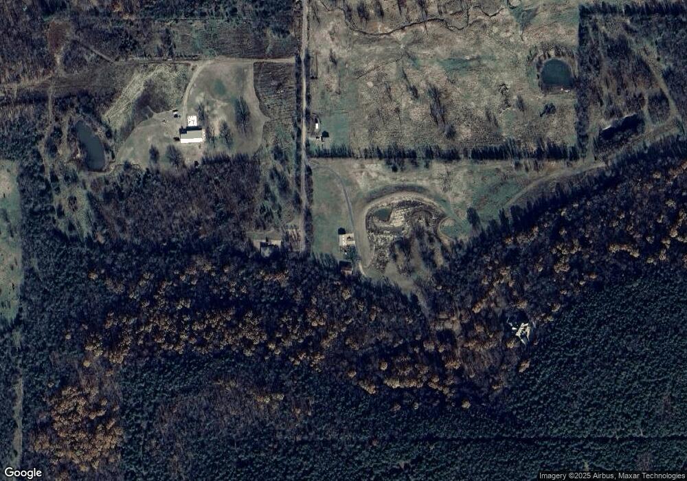
Map
Nearby Homes
- 175 Reid Rd
- 121 Quanah Rd
- 119 N 6 Mile Ln
- 1838 E Hwy 62
- 1904 N County Line Rd E
- 24481 S Manard Rd
- 12219 U S 62
- 22695 N 6 Mile Rd
- 12890 W Southern Oaks St
- 0 805 Rd
- 11769 W 838 Rd
- 0 Hwy 62 Hwy Unit 2532141
- 0 Hwy 62 Hwy Unit 2532145
- 0 Hwy 62 Hwy Unit 2532149
- 0 Hwy 62 Hwy Unit 2532139
- 0 Hwy 62 Hwy Unit 2517481
- 11396 W Joyce Ln
- 23532 N 5 Mile Rd
- 24196 N 4 Mile Rd
- 0 N 4 Mile Rd
- 26212 S 7 Mile Rd
- 1966 Cedar Bluff Rd
- 0 7 Mile Rd E Unit 1529771
- 0 7 Mile Rd E Unit 1820860
- 1980 Cedar Bluff Rd
- 2010 Cedar Bluff Rd
- 1946 Cedar Bluff Rd
- 26393 Over The Hill Rd
- 2014 Cedar Bluff Rd
- 10102 W Fairoaks Cir
- 26214 Over The Hill Rd
- 1970 Cedar Bluff Rd
- 10022 Highway 62
- 26253 Over The Hill Rd
- 1944 E Moffett Ln
- 10659 Highway 62
- 2002 Cedar Bluff Rd
- 1948 Cedar Bluff Rd
- 116 Reid Rd
- 116 Reid Rd Unit G