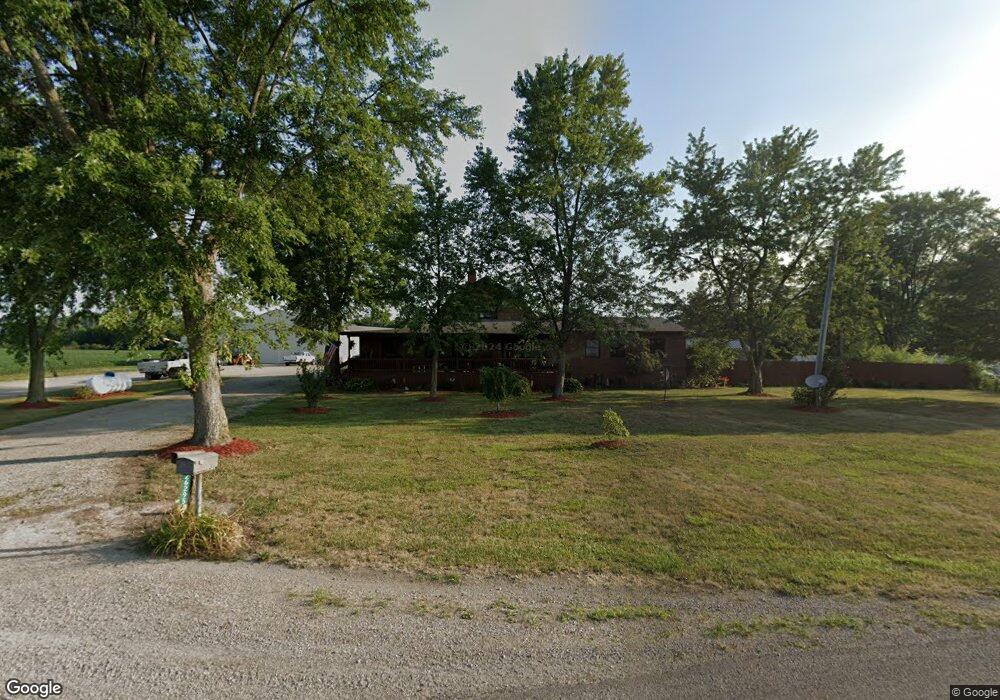
26295 Locust Grove Rd New Holland, OH 43145
Estimated Value: $255,000 - $353,000
3
Beds
3
Baths
2,679
Sq Ft
$110/Sq Ft
Est. Value
About This Home
This home is located at 26295 Locust Grove Rd, New Holland, OH 43145 and is currently estimated at $295,345, approximately $110 per square foot. 26295 Locust Grove Rd is a home located in Pickaway County with nearby schools including Westfall Elementary School, Westfall Middle School, and Westfall High School.
Ownership History
Date
Name
Owned For
Owner Type
Purchase Details
Closed on
Jul 22, 2016
Sold by
Patricia A Thieroff
Bought by
Vernon Mark and Vernon Robin
Current Estimated Value
Home Financials for this Owner
Home Financials are based on the most recent Mortgage that was taken out on this home.
Original Mortgage
$404,062
Outstanding Balance
$321,205
Interest Rate
3.45%
Estimated Equity
-$25,860
Purchase Details
Closed on
Nov 23, 2010
Sold by
Vernon Mark A and Vernon Robin L
Bought by
Vernon Mark A and Vernon Robin L
Create a Home Valuation Report for This Property
The Home Valuation Report is an in-depth analysis detailing your home's value as well as a comparison with similar homes in the area
Home Values in the Area
Average Home Value in this Area
Purchase History
| Date | Buyer | Sale Price | Title Company |
|---|---|---|---|
| Vernon Mark | -- | -- | |
| Vernon Mark A | -- | Attorney |
Source: Public Records
Mortgage History
| Date | Status | Borrower | Loan Amount |
|---|---|---|---|
| Open | Vernon Mark | $404,062 | |
| Closed | Vernon Mark | -- |
Source: Public Records
Tax History Compared to Growth
Tax History
| Year | Tax Paid | Tax Assessment Tax Assessment Total Assessment is a certain percentage of the fair market value that is determined by local assessors to be the total taxable value of land and additions on the property. | Land | Improvement |
|---|---|---|---|---|
| 2024 | -- | $79,880 | $11,930 | $67,950 |
| 2023 | $2,682 | $79,880 | $11,930 | $67,950 |
| 2022 | $2,433 | $63,430 | $9,470 | $53,960 |
| 2021 | $2,452 | $63,430 | $9,470 | $53,960 |
| 2020 | $2,456 | $63,430 | $9,470 | $53,960 |
| 2019 | $970 | $51,560 | $8,770 | $42,790 |
| 2018 | $1,940 | $51,560 | $8,770 | $42,790 |
| 2017 | $2,867 | $51,560 | $8,770 | $42,790 |
| 2016 | $1,652 | $45,790 | $8,070 | $37,720 |
| 2015 | $844 | $45,790 | $8,070 | $37,720 |
| 2014 | $1,172 | $31,080 | $8,070 | $23,010 |
| 2013 | $1,092 | $27,230 | $8,070 | $19,160 |
Source: Public Records
Map
Nearby Homes
- 13525 Clarksburg Pike
- 207 U S 22
- 0 Beaumont Ct
- 25 W Front St
- 14605 Crownover Mill Rd
- 36 Circle Ave
- 8 Allen Ave
- 0 Us Highway 22 and 3 Unit Lot 3 224024058
- 0 Us Highway 22 and 3 Unit Lot 2 224024055
- 0 Us Highway 22 and 3 Unit Lot 1 224024051
- 514 Yates St
- 518 Yates St
- 198 Stinson Dr
- 17310 High St
- 25805 Chillicothe Pike
- 21651 Hannawalt Rd
- 11744 Yankeetown Pike
- 0 Yankeetown Pike Unit 225019293
- 2922 SE Good Hope New Holland Rd SE
- 3508 Knight Rd NE
- 26281 Locust Grove Rd
- 26271 Locust Grove Rd
- 26255 Locust Grove Rd
- 26247 Locust Grove Rd
- 26239 Locust Grove Rd
- 26151 Poplar Alley
- 26388 Locust Grove Rd
- 26205 Locust Grove Rd
- 26181 Locust Grove Rd
- 26119 Poplar Alley
- 26138 Poplar Alley
- 26196 Locust Grove Rd
- 26118 Poplar Alley
- 26118 N Poplar St
- 26155 Locust Grove Rd
- 26176 Locust Grove Rd
- 26170 Locust Grove Rd
- 26080 Poplar Alley
- 26135 Locust Grove Rd
- 26125 Locust Grove Rd