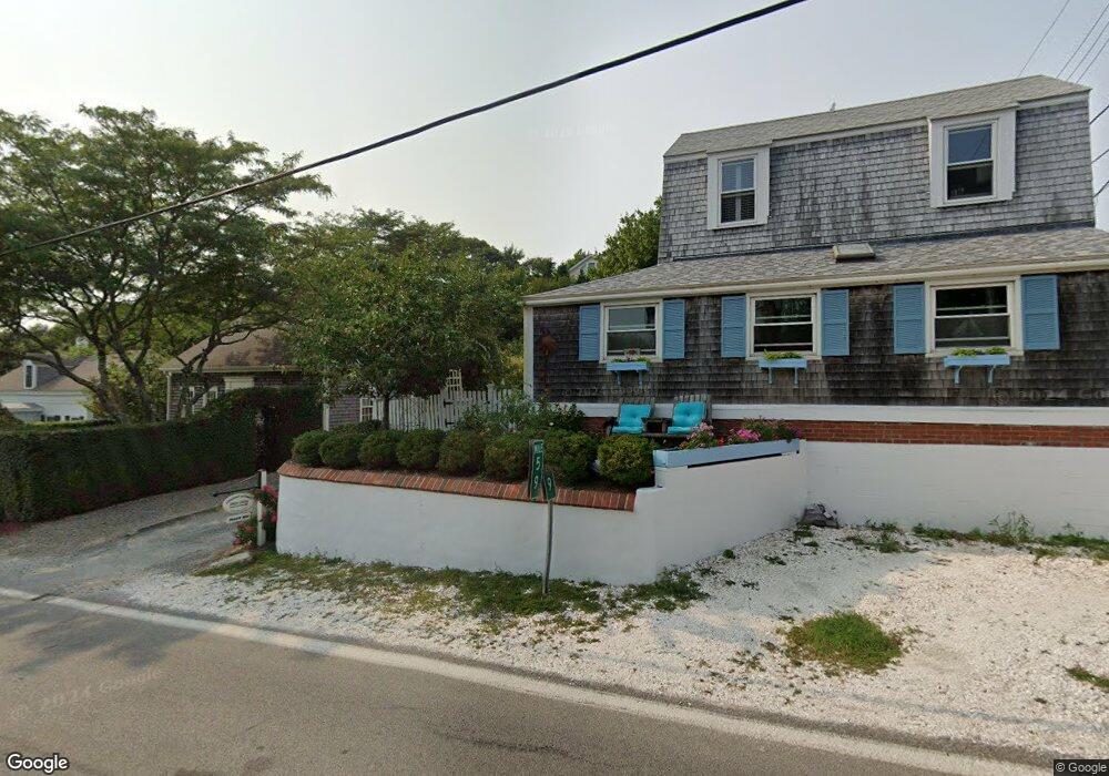
262A Bradford St Unit 6 Provincetown, MA 2657
Estimated Value: $881,097 - $959,000
2
Beds
1
Bath
492
Sq Ft
$1,855/Sq Ft
Est. Value
About This Home
This home is located at 262A Bradford St Unit 6, Provincetown, MA 2657 and is currently estimated at $912,774, approximately $1,855 per square foot. 262A Bradford St Unit 6 is a home located in Barnstable County with nearby schools including Provincetown Schools.
Ownership History
Date
Name
Owned For
Owner Type
Purchase Details
Closed on
May 18, 2018
Sold by
Romanow Robert and Courtemanche Gail
Bought by
Beale Thomas J and Hayward Gerard W
Current Estimated Value
Home Financials for this Owner
Home Financials are based on the most recent Mortgage that was taken out on this home.
Original Mortgage
$250,000
Outstanding Balance
$215,258
Interest Rate
4.4%
Mortgage Type
New Conventional
Estimated Equity
$697,516
Purchase Details
Closed on
Sep 30, 2015
Sold by
Koch William J and Phillips John D
Bought by
Romanow Robert and Courtemanche Gail
Home Financials for this Owner
Home Financials are based on the most recent Mortgage that was taken out on this home.
Original Mortgage
$300,000
Interest Rate
3%
Mortgage Type
New Conventional
Purchase Details
Closed on
Nov 16, 1990
Sold by
Cunney John V
Bought by
Coch William J
Home Financials for this Owner
Home Financials are based on the most recent Mortgage that was taken out on this home.
Original Mortgage
$67,150
Interest Rate
10.03%
Mortgage Type
Purchase Money Mortgage
Create a Home Valuation Report for This Property
The Home Valuation Report is an in-depth analysis detailing your home's value as well as a comparison with similar homes in the area
Home Values in the Area
Average Home Value in this Area
Purchase History
| Date | Buyer | Sale Price | Title Company |
|---|---|---|---|
| Beale Thomas J | $560,001 | -- | |
| Beale Thomas J | $560,001 | -- | |
| Romanow Robert | $442,000 | -- | |
| Romanow Robert | $442,000 | -- | |
| Coch William J | $89,500 | -- | |
| Coch William J | $89,500 | -- |
Source: Public Records
Mortgage History
| Date | Status | Borrower | Loan Amount |
|---|---|---|---|
| Open | Beale Thomas J | $250,000 | |
| Closed | Beale Thomas J | $250,000 | |
| Previous Owner | Romanow Robert | $300,000 | |
| Previous Owner | Coch William J | $67,150 |
Source: Public Records
Tax History Compared to Growth
Tax History
| Year | Tax Paid | Tax Assessment Tax Assessment Total Assessment is a certain percentage of the fair market value that is determined by local assessors to be the total taxable value of land and additions on the property. | Land | Improvement |
|---|---|---|---|---|
| 2025 | $4,590 | $819,700 | $0 | $819,700 |
| 2024 | $4,138 | $741,500 | $0 | $741,500 |
| 2023 | $3,819 | $638,600 | $0 | $638,600 |
| 2022 | $3,796 | $569,900 | $0 | $569,900 |
| 2021 | $3,688 | $520,900 | $0 | $520,900 |
| 2020 | $3,347 | $505,600 | $0 | $505,600 |
| 2019 | $3,368 | $477,000 | $0 | $477,000 |
| 2018 | $3,119 | $418,700 | $0 | $418,700 |
| 2017 | $3,104 | $402,600 | $0 | $402,600 |
| 2016 | $2,214 | $283,900 | $0 | $283,900 |
Source: Public Records
Map
Nearby Homes
- 262 Bradford St Unit 2
- 561 Commercial St
- 539 Commercial St Unit 1
- 580 Commercial St
- 592 Commercial St
- 593 Commercial St
- 521 Commercial St Unit 2
- 594 Commercial St
- 289 Bradford St
- 290A Bradford St
- 6 Daggett Ln
- 2 Daggett Ln
- 613 Commercial St
- 501 Commercial St Unit 16
- 501 Commercial St Unit 17
- 616 Commercial St Unit 10
- 616 Commercial St Unit 14
- 616 Commercial St Unit 15
- 616 Commercial St Unit 5
- 262A Bradford St Unit 1
- 262A Bradford St Unit 3
- 262A Bradford St Unit 2
- 262A Bradford St Unit 4
- 262 Bradford St
- 258 Bradford St
- 258 Bradford St
- 258 Bradford St Unit 3
- 258 Bradford St Unit 4
- 258 Bradford St Unit 2
- 258 Bradford St Unit U4
- 258 Bradford St Unit 1
- 264-A Bradford St
- 264 Bradford St
- 21 Atkins Mayo Rd
- 256 Bradford St
- 18 Atkins Mayo Rd
- 254 Bradford St
- 252A Bradford St
- 252 Bradford St