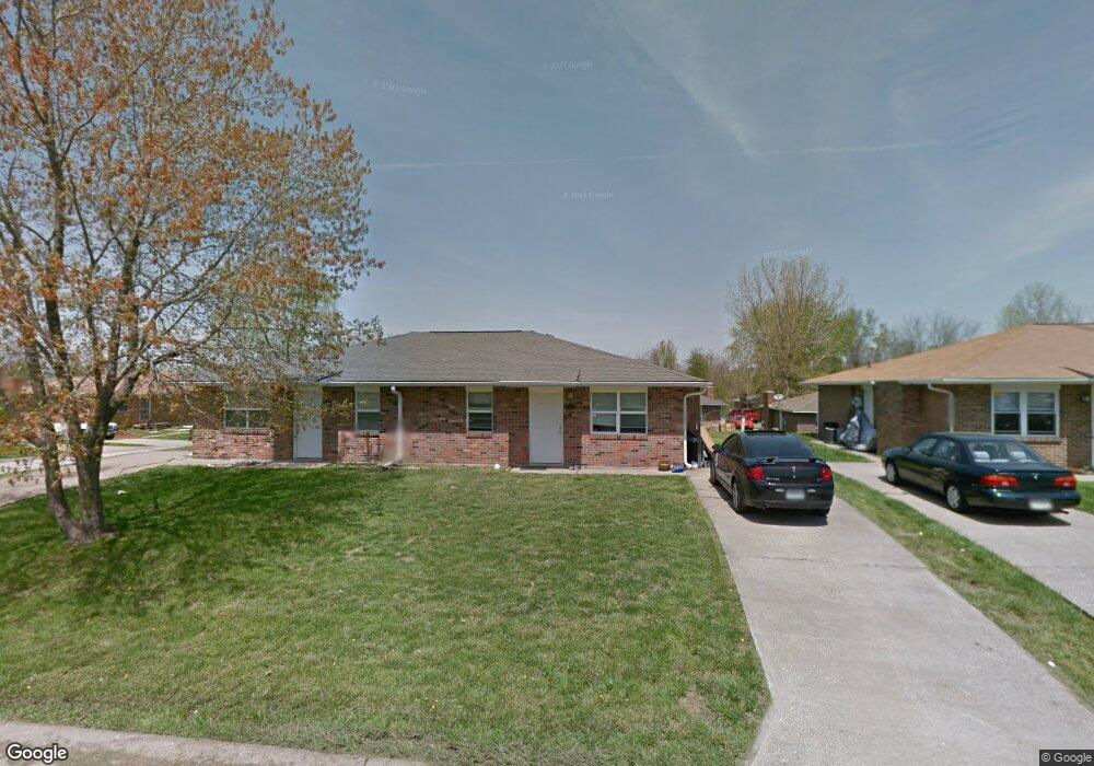
263-265 Chris Dr Columbia, MO 65203
Estimated Value: $200,000 - $250,193
4
Beds
2
Baths
1,750
Sq Ft
$126/Sq Ft
Est. Value
About This Home
This home is located at 263-265 Chris Dr, Columbia, MO 65203 and is currently estimated at $221,298, approximately $126 per square foot. 263-265 Chris Dr is a home located in Boone County with nearby schools including Rock Bridge Elementary School, Ann Hawkins Gentry Middle School, and Rock Bridge High School.
Ownership History
Date
Name
Owned For
Owner Type
Purchase Details
Closed on
Jul 22, 2016
Sold by
Tucker Lily Properties Inc
Bought by
Baker William Kirt and Baker Gail Christine
Current Estimated Value
Purchase Details
Closed on
Feb 1, 2008
Sold by
Bartok Peter and Bartok Colleen
Bought by
Wattenbarger Brian J
Home Financials for this Owner
Home Financials are based on the most recent Mortgage that was taken out on this home.
Original Mortgage
$64,200
Interest Rate
6.15%
Mortgage Type
Purchase Money Mortgage
Create a Home Valuation Report for This Property
The Home Valuation Report is an in-depth analysis detailing your home's value as well as a comparison with similar homes in the area
Home Values in the Area
Average Home Value in this Area
Purchase History
| Date | Buyer | Sale Price | Title Company |
|---|---|---|---|
| Baker William Kirt | -- | None Available | |
| Wattenbarger Brian J | -- | Boone Central Title Company |
Source: Public Records
Mortgage History
| Date | Status | Borrower | Loan Amount |
|---|---|---|---|
| Previous Owner | Wattenbarger Brian J | $64,200 |
Source: Public Records
Tax History Compared to Growth
Tax History
| Year | Tax Paid | Tax Assessment Tax Assessment Total Assessment is a certain percentage of the fair market value that is determined by local assessors to be the total taxable value of land and additions on the property. | Land | Improvement |
|---|---|---|---|---|
| 2025 | $1,092 | $16,606 | $3,686 | $12,920 |
| 2024 | $1,092 | $15,105 | $3,686 | $11,419 |
| 2023 | $1,083 | $15,105 | $3,686 | $11,419 |
| 2022 | $1,002 | $13,984 | $3,686 | $10,298 |
| 2021 | $1,003 | $13,984 | $3,686 | $10,298 |
| 2020 | $949 | $12,488 | $3,686 | $8,802 |
| 2019 | $949 | $12,488 | $3,686 | $8,802 |
| 2018 | $919 | $0 | $0 | $0 |
| 2017 | $908 | $12,008 | $3,686 | $8,322 |
| 2016 | $907 | $12,008 | $3,686 | $8,322 |
| 2015 | $837 | $12,008 | $3,686 | $8,322 |
| 2014 | -- | $12,008 | $3,686 | $8,322 |
Source: Public Records
Map
Nearby Homes
- 201 E Old Plank Rd
- 5657 Ralph Dobbs Way
- 5663 Ralph Dobbs Way
- 29 N Cedar Lake Dr W Unit 208
- 4733 Brandon Woods St
- 210 Hellwig Ln
- 302 W Cedar Lake Dr W Dr
- 4779 Bethel St
- 141 Donald Neil Ct
- 214 Hellwig Ln
- 525 W Bethel Dr
- LOT 129 Clear Creek Estates
- 5411 Heath Ct
- LOT 135 Clear Creek Estates
- 809 Rutland Dr
- LOT 136 Clear Creek Estates
- LOT 128 Clear Creek Estates
- LOT 101 Clear Creek Estates
- 6201 S Ridgewood Rd
- 4305 Needham Ct
- 263 Chris Dr Unit 265
- 263-65 Chris
- 279-281 E Chris Dr Unit 1 & 2
- 279-281 E Chris Dr Unit 279-281
- 279 Chris Dr Unit 281
- 279-81 Chris
- 268 Catherine Dr Unit 270
- 268-270 Catherine Dr
- 284-286 Catherine Dr
- 284 Catherine Dr Unit 286
- 5217 S Tony St Unit 5219
- 5181 S Tony St Unit 5183
- 264 Chris Dr Unit 266
- 280 Chris Dr Unit 282
- 295 Chris Dr Unit 297
- 5233 S Tony St Unit 5235
- 5165 S Tony St Unit 5167
- 300 Catherine Dr Unit 302
- 296 Chris Dr Unit 298
- 311 Chris Dr Unit 313