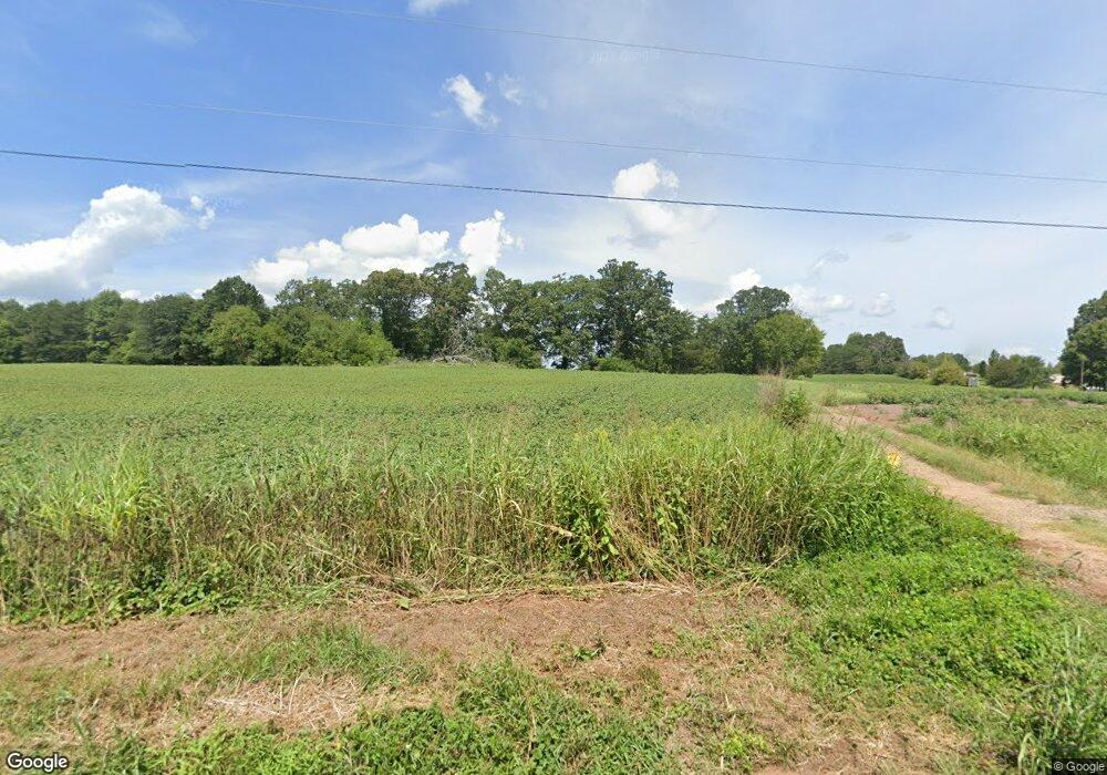
263 Branchwood Rd Statesville, NC 28625
Estimated Value: $712,000 - $1,552,275
4
Beds
4
Baths
3,951
Sq Ft
$287/Sq Ft
Est. Value
About This Home
This home is located at 263 Branchwood Rd, Statesville, NC 28625 and is currently estimated at $1,132,138, approximately $286 per square foot. 263 Branchwood Rd is a home with nearby schools including Central Elementary School, North Iredell Middle School, and North Iredell High School.
Ownership History
Date
Name
Owned For
Owner Type
Purchase Details
Closed on
Aug 10, 2021
Sold by
Zmh Statesville Llc
Bought by
Clark Michael A and Clark Patricia F
Current Estimated Value
Purchase Details
Closed on
Jun 30, 2019
Sold by
Leder Sparlin Enterprises Llc
Bought by
Aahcs Llc
Purchase Details
Closed on
Jul 16, 2012
Sold by
Leder Sparlin Enterprises Llc
Bought by
Leder Sparlin Enterprises Llc
Purchase Details
Closed on
Aug 23, 2006
Sold by
Hartness Seng Catheryn Louise Hartness and Hartness Tilley Mildred
Bought by
Zmh Statesville Llc and Leder Sparlin Llc
Purchase Details
Closed on
Jun 1, 1901
Create a Home Valuation Report for This Property
The Home Valuation Report is an in-depth analysis detailing your home's value as well as a comparison with similar homes in the area
Home Values in the Area
Average Home Value in this Area
Purchase History
| Date | Buyer | Sale Price | Title Company |
|---|---|---|---|
| Clark Michael A | $610,000 | None Available | |
| Aahcs Llc | -- | None Available | |
| Leder Sparlin Enterprises Llc | -- | None Available | |
| Zmh Statesville Llc | $726,000 | None Available | |
| -- | -- | -- | |
| -- | -- | -- | |
| -- | -- | -- |
Source: Public Records
Tax History Compared to Growth
Tax History
| Year | Tax Paid | Tax Assessment Tax Assessment Total Assessment is a certain percentage of the fair market value that is determined by local assessors to be the total taxable value of land and additions on the property. | Land | Improvement |
|---|---|---|---|---|
| 2024 | $6,420 | $1,029,960 | $588,260 | $441,700 |
| 2023 | $6,137 | $588,260 | $588,260 | $0 |
| 2022 | $3,164 | $504,230 | $504,230 | $0 |
| 2021 | $3,164 | $504,230 | $504,230 | $0 |
| 2020 | $3,164 | $504,230 | $504,230 | $0 |
| 2019 | $3,114 | $504,230 | $504,230 | $0 |
| 2018 | $3,013 | $504,230 | $504,230 | $0 |
| 2017 | $3,013 | $504,230 | $504,230 | $0 |
| 2016 | $3,013 | $504,230 | $504,230 | $0 |
| 2015 | -- | $504,230 | $504,230 | $0 |
| 2014 | -- | $558,010 | $558,010 | $0 |
Source: Public Records
Map
Nearby Homes
- 203 Grassy Meadow Ln
- 154 Windy Hill Rd
- 3050 Wilkesboro Hwy
- 3359 Wilkesboro Hwy
- 107 Porter Rd
- 133 Bluegill Ln
- 111 Mallory Ln
- 179 Foy Ln
- 223 Bluegill Ln
- 137 Bluegill Ln
- 000 Cove Gap Rd
- 354 Bluegill Ln Unit 23
- 204 Harriet Ln
- 112 Triton Dr
- 00 Hilltop Dr Unit 14
- 00 Hilltop Dr
- 00 Hilltop Dr Unit 13
- 103 Roseman Ln
- 202 Deitz Rd
- Winslow Plan at Heritage Hall
- 117 Mountain Crest Dr Unit 117 & 118
- 149 Riverfield Dr
- 149 Riverfield Dr
- 155 Riverfield Dr
- 175 Riverfield Dr
- 137 Riverfield Dr
- 179 Riverfield Dr
- Lot 100 Riverfield Dr
- Lot 91 Riverfield Dr
- 183 Riverfield Dr
- 131 Riverfield Dr
- 187 Riverfield Dr
- Lot105 Mountain Crest Dr Unit 105
- Lot104 Mountain Crest Dr Unit 104
- 103 Mountain Crest Dr Unit 103
- 125 Riverfield Dr
- 152 Riverfield Dr
- 104 Mountain Crest Dr Unit 104
- 105 Mountain Crest Dr Unit 105
- 146 Riverfield Dr
