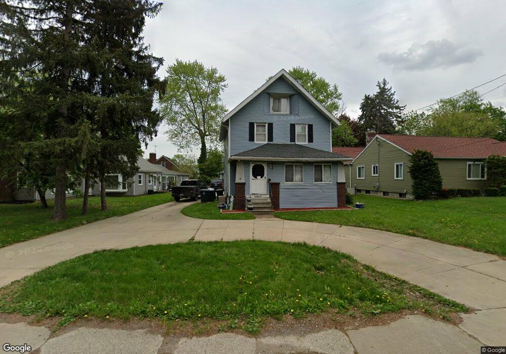
263 Canton Rd Akron, OH 44312
Ellet NeighborhoodEstimated Value: $187,000 - $241,000
4
Beds
3
Baths
2,227
Sq Ft
$100/Sq Ft
Est. Value
About This Home
This home is located at 263 Canton Rd, Akron, OH 44312 and is currently estimated at $222,201, approximately $99 per square foot. 263 Canton Rd is a home located in Summit County with nearby schools including Ellet High School, Summit Academy Akron Elementary School, and Akron Preparatory school.
Ownership History
Date
Name
Owned For
Owner Type
Purchase Details
Closed on
Sep 11, 2020
Sold by
Holcomb Sheila K
Bought by
City Of Akron
Current Estimated Value
Purchase Details
Closed on
Apr 17, 2007
Sold by
Holcomb Gary P
Bought by
Holcomb Sheila K
Purchase Details
Closed on
Mar 16, 2005
Sold by
Holcomb Gay L and Holcomb Donna M
Bought by
Holcomb Gary P and Holcomb Sheila K
Create a Home Valuation Report for This Property
The Home Valuation Report is an in-depth analysis detailing your home's value as well as a comparison with similar homes in the area
Home Values in the Area
Average Home Value in this Area
Purchase History
| Date | Buyer | Sale Price | Title Company |
|---|---|---|---|
| City Of Akron | -- | Minnesota Title Agency | |
| Holcomb Sheila K | -- | Attorney | |
| Holcomb Gary P | $120,000 | -- |
Source: Public Records
Tax History
| Year | Tax Paid | Tax Assessment Tax Assessment Total Assessment is a certain percentage of the fair market value that is determined by local assessors to be the total taxable value of land and additions on the property. | Land | Improvement |
|---|---|---|---|---|
| 2025 | $3,855 | $71,841 | $10,745 | $61,096 |
| 2024 | $3,855 | $71,841 | $10,745 | $61,096 |
| 2023 | $3,855 | $71,841 | $10,745 | $61,096 |
| 2022 | $3,487 | $50,821 | $7,515 | $43,306 |
| 2021 | $3,490 | $50,821 | $7,515 | $43,306 |
| 2020 | $3,438 | $50,830 | $7,520 | $43,310 |
| 2019 | $2,763 | $36,610 | $7,360 | $29,250 |
| 2018 | $2,727 | $36,610 | $7,360 | $29,250 |
| 2017 | $2,770 | $36,610 | $7,360 | $29,250 |
| 2016 | $2,772 | $36,610 | $7,360 | $29,250 |
| 2015 | $2,770 | $36,610 | $7,360 | $29,250 |
| 2014 | $2,748 | $36,610 | $7,360 | $29,250 |
| 2013 | $2,804 | $38,220 | $7,360 | $30,860 |
Source: Public Records
Map
Nearby Homes
- 2579 Robindale Ave
- 228 Hawk Ave
- 114 Davenport Ave
- 2652 Graham Ave
- 2331 E Market St Unit 202
- 210 Davenport Ave
- 84 Pfeiffer Ave
- 282 Schrop Ave
- 404 Wirth Ave
- 2382 Mogadore Rd
- 2269 Emerald Dr
- 2864 Burnside St
- 412 Stevenson Ave
- 2522 Ogden Ave
- 2258 Mogadore Rd
- 640 Plainfield Rd
- 329 Dennison Ave
- 2138 Forest Oak Dr
- 572 Cora Ave
- 20 Verdun Dr
- 269 Canton Rd
- 2476 Graham Ave
- 275 Canton Rd
- 2482 Graham Ave
- 2529 Robindale Ave
- 2501 E Market St
- 2488 Graham Ave
- 283 Canton Rd
- 2535 Robindale Ave
- 252 Canton Rd
- 2477 Graham Ave
- 2485 E Market St
- 2494 Graham Ave
- 2541 Robindale Ave
- 248 Canton Rd
- 2483 Graham Ave
- 2477 E Market St
- 242 Canton Rd
- 2545 Robindale Ave
- 231 Canton Rd
Your Personal Tour Guide
Ask me questions while you tour the home.