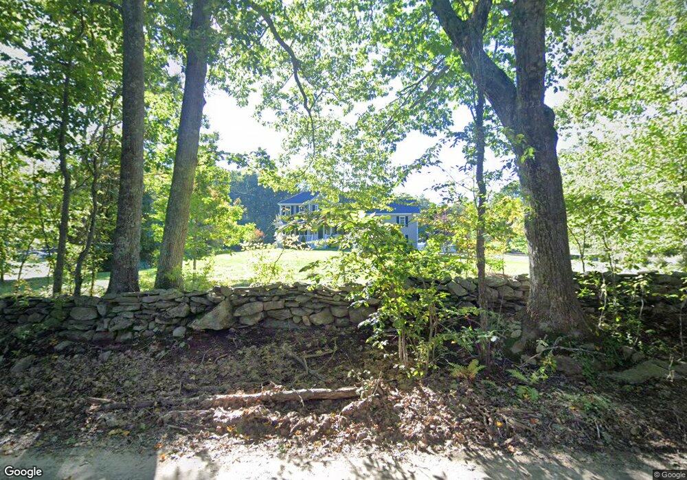
263 Glenwood Rd Rutland, MA 01543
Estimated Value: $657,000 - $708,000
3
Beds
3
Baths
2,296
Sq Ft
$297/Sq Ft
Est. Value
About This Home
This home is located at 263 Glenwood Rd, Rutland, MA 01543 and is currently estimated at $681,324, approximately $296 per square foot. 263 Glenwood Rd is a home with nearby schools including Wachusett Regional High School.
Ownership History
Date
Name
Owned For
Owner Type
Purchase Details
Closed on
Jul 17, 2024
Sold by
Benoint Joseph P and Benoint Abby E
Bought by
Benoint Ft and Benoint
Current Estimated Value
Purchase Details
Closed on
Oct 29, 2014
Sold by
Elbag Brothers Inc
Bought by
M A Elbag Building Con
Home Financials for this Owner
Home Financials are based on the most recent Mortgage that was taken out on this home.
Original Mortgage
$350,000
Interest Rate
4.1%
Mortgage Type
VA
Purchase Details
Closed on
Oct 27, 2014
Sold by
M A Elbag Building Con
Bought by
Benoit Joseph P and Benoit Abby E
Home Financials for this Owner
Home Financials are based on the most recent Mortgage that was taken out on this home.
Original Mortgage
$350,000
Interest Rate
4.1%
Mortgage Type
VA
Create a Home Valuation Report for This Property
The Home Valuation Report is an in-depth analysis detailing your home's value as well as a comparison with similar homes in the area
Home Values in the Area
Average Home Value in this Area
Purchase History
| Date | Buyer | Sale Price | Title Company |
|---|---|---|---|
| Benoint Ft | -- | None Available | |
| Benoint Ft | -- | None Available | |
| M A Elbag Building Con | -- | -- | |
| Benoit Joseph P | $360,000 | -- | |
| M A Elbag Building Con | -- | -- |
Source: Public Records
Mortgage History
| Date | Status | Borrower | Loan Amount |
|---|---|---|---|
| Previous Owner | Benoit Joseph P | $350,000 |
Source: Public Records
Tax History Compared to Growth
Tax History
| Year | Tax Paid | Tax Assessment Tax Assessment Total Assessment is a certain percentage of the fair market value that is determined by local assessors to be the total taxable value of land and additions on the property. | Land | Improvement |
|---|---|---|---|---|
| 2025 | $8,500 | $596,900 | $99,000 | $497,900 |
| 2024 | $8,403 | $566,600 | $95,100 | $471,500 |
| 2023 | $7,739 | $564,100 | $89,800 | $474,300 |
| 2022 | $7,248 | $459,000 | $76,000 | $383,000 |
| 2021 | $7,098 | $425,000 | $76,000 | $349,000 |
| 2020 | $7,127 | $404,700 | $72,300 | $332,400 |
| 2019 | $7,161 | $400,300 | $68,800 | $331,500 |
| 2018 | $6,753 | $372,500 | $68,800 | $303,700 |
| 2017 | $6,828 | $372,700 | $68,800 | $303,900 |
| 2016 | $6,113 | $351,900 | $65,500 | $286,400 |
| 2015 | $6,020 | $341,100 | $65,500 | $275,600 |
Source: Public Records
Map
Nearby Homes
- 271 Glenwood Rd
- 81 Glenwood Place
- 175 Glenwood Rd
- 147 E County Rd Unit 149
- 139 E County Rd Unit 139
- 101 Brintnal Dr
- 73 Brintnal Dr
- 166 Ball Hill Rd
- 35 Brintnal Dr
- 2 Simon Davis Dr
- 56 Hubbardston Rd
- 25 Watson Ln
- 15 Stagecoach Rd
- 16 Richards Ave
- 9 Stagecoach Rd
- 40 Brunelle Dr
- 55 Pommogussett Rd
- 81 Central Tree Rd
- 32 Pommogussett Rd Unit 1
- 10 Beechwood Dr