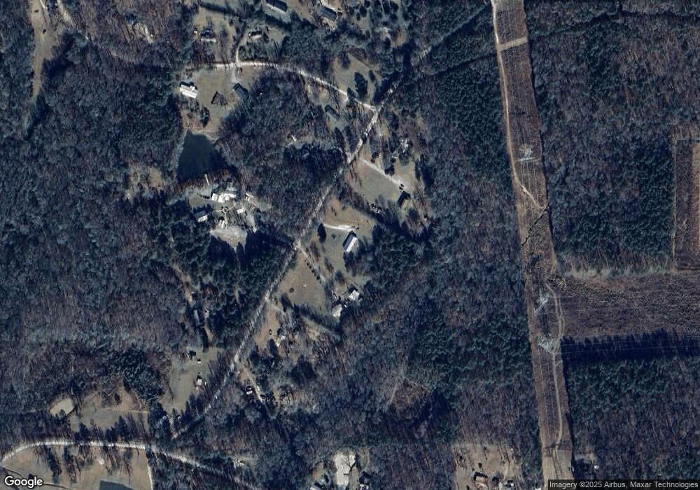
263 Herndon Rd Franklin, GA 30217
Estimated Value: $259,000 - $287,184
3
Beds
2
Baths
1,615
Sq Ft
$172/Sq Ft
Est. Value
About This Home
This home is located at 263 Herndon Rd, Franklin, GA 30217 and is currently estimated at $277,061, approximately $171 per square foot. 263 Herndon Rd is a home located in Heard County with nearby schools including Heard County High School.
Ownership History
Date
Name
Owned For
Owner Type
Purchase Details
Closed on
Jul 11, 2003
Sold by
Shelnutt Ronnie
Bought by
Fike Jodi
Current Estimated Value
Purchase Details
Closed on
Dec 21, 2001
Sold by
Barton Holly Ann
Bought by
Shelnutt Ronnie
Purchase Details
Closed on
Jun 14, 2000
Sold by
Barton Patricia
Bought by
Barton Holly Ann
Purchase Details
Closed on
Mar 1, 1985
Sold by
Huguely Kenneth J
Bought by
Barton Donnie E
Purchase Details
Closed on
Jan 1, 1985
Bought by
Huguely Kenneth J
Create a Home Valuation Report for This Property
The Home Valuation Report is an in-depth analysis detailing your home's value as well as a comparison with similar homes in the area
Purchase History
| Date | Buyer | Sale Price | Title Company |
|---|---|---|---|
| Fike Jodi | $117,600 | -- | |
| Shelnutt Ronnie | $14,000 | -- | |
| Barton Holly Ann | -- | -- | |
| Barton Patricia | -- | -- | |
| Barton Donnie E | $9,400 | -- | |
| Huguely Kenneth J | -- | -- |
Source: Public Records
Tax History
| Year | Tax Paid | Tax Assessment Tax Assessment Total Assessment is a certain percentage of the fair market value that is determined by local assessors to be the total taxable value of land and additions on the property. | Land | Improvement |
|---|---|---|---|---|
| 2024 | $1,761 | $89,326 | $12,180 | $77,146 |
| 2023 | $1,627 | $79,948 | $10,150 | $69,798 |
| 2022 | $1,480 | $72,880 | $6,248 | $66,632 |
| 2021 | $1,215 | $57,310 | $6,248 | $51,062 |
| 2020 | $1,135 | $53,156 | $6,248 | $46,908 |
| 2019 | $1,136 | $53,156 | $6,248 | $46,908 |
| 2018 | $1,203 | $53,156 | $6,248 | $46,908 |
| 2017 | $1,058 | $48,860 | $5,785 | $43,075 |
| 2016 | $1,058 | $48,860 | $5,785 | $43,075 |
| 2015 | -- | $48,479 | $9,253 | $39,226 |
| 2014 | -- | $48,479 | $9,253 | $39,226 |
| 2013 | -- | $53,952 | $9,252 | $44,699 |
Source: Public Records
Map
Nearby Homes
- 0 Newman Rd Unit 10676618
- 0 Newman Rd Unit 26147173
- 323 Newman Rd
- 4230 Joe Stephens Rd
- 200 Dogwood Rd
- 220 Dogwood Rd
- 19860 Ga Hwy 34
- 0 Thomas Powers Rd Unit 10569332
- 0 Thomas Powers Rd Unit 24228819
- 4621 Highway 34 W
- 4621 Hwy 34 W
- 38 Daniel Cir
- 847 Greenwood Lake Dr
- 63 Walton Ln
- 0 Haines Rd Unit 10679580
- 0 Alder Rd Unit 10674249
- 4398 Georgia 34
- 0 Ga Highway 34 Unit 10652639
- 294 Birch Rd
- 200 Abner Rd
- 316 Herndon Rd
- 200 Herndon Rd
- 132 Herndon Rd
- 305 Herndon Rd
- 415 Herndon Rd
- 1745 George Brown Rd
- 211 Herndon Rd
- 1701 George Brown Rd
- 2425 Joe Stephens Rd
- 1631 George Brown Rd
- 81 Herndon Rd
- 1865 George Brown Rd
- 2465 Joe Stephens Rd
- 1919 George Brown Rd
- 0 Herndon Rd
- 0 Herndon Rd Unit 7283747
- 1594 George Brown Rd
- 1700 George Brown Rd
- 1931 George Brown Rd
- 1955 George Brown Rd
