263 L D Grindle Rd Murrayville, GA 30564
Murrayville NeighborhoodEstimated Value: $421,000 - $672,000
4
Beds
2
Baths
1,832
Sq Ft
$297/Sq Ft
Est. Value
About This Home
This home is located at 263 L D Grindle Rd, Murrayville, GA 30564 and is currently estimated at $544,250, approximately $297 per square foot. 263 L D Grindle Rd is a home located in Lumpkin County with nearby schools including Clay County Middle School and Lumpkin County High School.
Ownership History
Date
Name
Owned For
Owner Type
Purchase Details
Closed on
Jul 18, 2018
Sold by
Mccain Nathan Alva
Bought by
Mccain Nathan Alva and Mccain Jayne Ellen
Current Estimated Value
Purchase Details
Closed on
Feb 29, 2016
Sold by
Huskey Perry R
Bought by
Mccain Nathan Alva
Home Financials for this Owner
Home Financials are based on the most recent Mortgage that was taken out on this home.
Original Mortgage
$377,045
Interest Rate
3.79%
Mortgage Type
VA
Purchase Details
Closed on
Oct 5, 2011
Sold by
Huskey Perry R
Bought by
Grindle Donald L
Purchase Details
Closed on
Jun 5, 2007
Sold by
Not Provided
Bought by
Huskey Perry R
Home Financials for this Owner
Home Financials are based on the most recent Mortgage that was taken out on this home.
Original Mortgage
$293,783
Interest Rate
6.1%
Mortgage Type
New Conventional
Purchase Details
Closed on
Jan 28, 2000
Sold by
Grindle Lucille
Bought by
Smith Judd and Smith Kelli
Create a Home Valuation Report for This Property
The Home Valuation Report is an in-depth analysis detailing your home's value as well as a comparison with similar homes in the area
Home Values in the Area
Average Home Value in this Area
Purchase History
| Date | Buyer | Sale Price | Title Company |
|---|---|---|---|
| Mccain Nathan Alva | $297,290 | -- | |
| Mccain Nathan Alva | $365,000 | -- | |
| Grindle Donald L | -- | -- | |
| Huskey Perry R | $295,000 | -- | |
| Smith Judd | $25,000 | -- |
Source: Public Records
Mortgage History
| Date | Status | Borrower | Loan Amount |
|---|---|---|---|
| Previous Owner | Mccain Nathan Alva | $377,045 | |
| Previous Owner | Huskey Perry R | $293,783 |
Source: Public Records
Tax History Compared to Growth
Tax History
| Year | Tax Paid | Tax Assessment Tax Assessment Total Assessment is a certain percentage of the fair market value that is determined by local assessors to be the total taxable value of land and additions on the property. | Land | Improvement |
|---|---|---|---|---|
| 2024 | $1,337 | $172,356 | $29,423 | $142,933 |
| 2023 | $981 | $164,800 | $29,423 | $135,377 |
| 2022 | $1,093 | $147,804 | $24,520 | $123,284 |
| 2021 | $697 | $131,707 | $24,520 | $107,187 |
| 2020 | $629 | $128,637 | $23,497 | $105,140 |
| 2019 | $647 | $128,637 | $23,497 | $105,140 |
| 2018 | $587 | $118,783 | $23,497 | $95,286 |
| 2017 | $3,440 | $118,916 | $23,497 | $95,419 |
| 2016 | $2,853 | $95,412 | $23,051 | $72,361 |
| 2015 | $2,271 | $95,412 | $23,051 | $72,361 |
| 2014 | $2,271 | $86,137 | $23,051 | $63,086 |
| 2013 | -- | $87,071 | $23,051 | $64,020 |
Source: Public Records
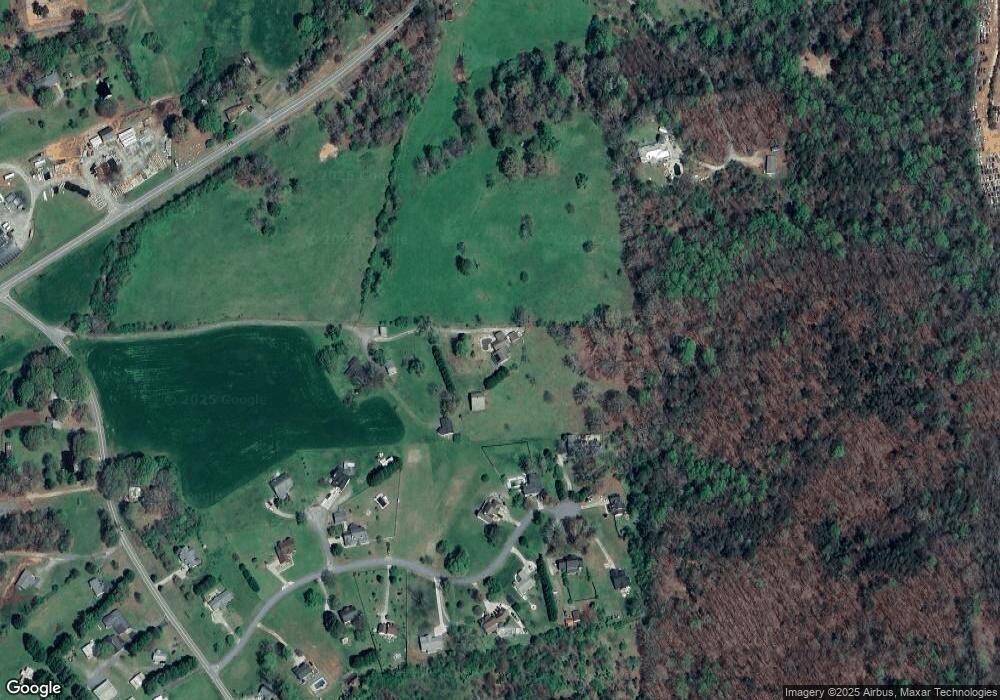
Map
Nearby Homes
- 86.99 Acres Mincie Mountain
- 0 Roseberry Ln
- 3.65 Ac Emory Stephens Rd
- 3.65AC Emory Stephens Rd
- 23.86 Acres Mincie Mountain
- 20.65 Acres Mincie Mountain
- 42.65 Acres Mincie Mountain
- 6.2 Mincey Acres Dr
- 112 Lumpkin View Dr
- 966 Wahoo Creek Rd
- 0 Valhalla Dr Unit 10640791
- 600 Chapman Ridge Ln
- 500 Chapman Ridge Ln
- 27.68 Chapman Ridge Ln
- 100 Rocky Branch Dr
- 12 Katydid Ln
- 31 Valhalla Dr
- 261 Foothills Dr Unit 12
- 261 Foothills Dr
- 245 Foothills Dr
- 204 L D Grindle Rd
- 213 Foothills Dr
- 265 Foothills Dr
- 36 Carol Anne Dr
- 0 Carol Anne Dr Unit 3221898
- 16 Carol Anne Dr
- 220 Foothills Dr Unit 6
- 220 Foothills Dr Unit 8
- 0 Foothills Dr Unit 8298462
- 0 Foothills Dr Unit 8253349
- 0 Foothills Dr Unit 8251877
- 0 Foothills Dr Unit 3036732
- 0 Foothills Dr
- 260 Foothills Dr
- 268 Foothills Dr
- 215 Chimney Springs Rd
- 188 Foothills Dr