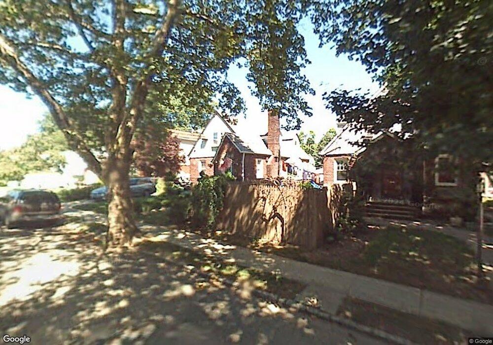
263 Locust Ave Staten Island, NY 10306
New Dorp NeighborhoodEstimated Value: $741,000 - $970,000
3
Beds
3
Baths
1,776
Sq Ft
$490/Sq Ft
Est. Value
About This Home
This home is located at 263 Locust Ave, Staten Island, NY 10306 and is currently estimated at $870,508, approximately $490 per square foot. 263 Locust Ave is a home located in Richmond County with nearby schools including P.S. 41 The Stephanie a Vierno School, Is 2 George L Egbert, and New Dorp High School.
Ownership History
Date
Name
Owned For
Owner Type
Purchase Details
Closed on
Apr 10, 2002
Sold by
Klein Richard I and Klein Andrew V
Bought by
Caputo Martino and Caputo Eileen D
Current Estimated Value
Home Financials for this Owner
Home Financials are based on the most recent Mortgage that was taken out on this home.
Original Mortgage
$220,000
Interest Rate
6.81%
Mortgage Type
Purchase Money Mortgage
Purchase Details
Closed on
Sep 4, 2001
Sold by
Klein Rosemarie
Bought by
Klein Richard I and Klein Andrew V
Create a Home Valuation Report for This Property
The Home Valuation Report is an in-depth analysis detailing your home's value as well as a comparison with similar homes in the area
Home Values in the Area
Average Home Value in this Area
Purchase History
| Date | Buyer | Sale Price | Title Company |
|---|---|---|---|
| Caputo Martino | $345,000 | Homestead Title Agency | |
| Klein Richard I | -- | -- |
Source: Public Records
Mortgage History
| Date | Status | Borrower | Loan Amount |
|---|---|---|---|
| Previous Owner | Caputo Martino | $220,000 |
Source: Public Records
Tax History Compared to Growth
Tax History
| Year | Tax Paid | Tax Assessment Tax Assessment Total Assessment is a certain percentage of the fair market value that is determined by local assessors to be the total taxable value of land and additions on the property. | Land | Improvement |
|---|---|---|---|---|
| 2025 | $7,228 | $45,180 | $10,806 | $34,374 |
| 2024 | $7,509 | $44,700 | $10,839 | $33,861 |
| 2023 | $6,803 | $35,270 | $11,089 | $24,181 |
| 2022 | $6,356 | $41,580 | $12,960 | $28,620 |
| 2021 | $6,303 | $34,440 | $12,960 | $21,480 |
| 2020 | $6,349 | $35,880 | $12,960 | $22,920 |
| 2019 | $6,224 | $38,940 | $12,960 | $25,980 |
| 2018 | $5,694 | $29,392 | $11,276 | $18,116 |
| 2017 | $5,353 | $27,729 | $11,452 | $16,277 |
| 2016 | $4,920 | $26,160 | $12,960 | $13,200 |
| 2015 | $4,919 | $28,680 | $10,800 | $17,880 |
| 2014 | $4,919 | $27,220 | $10,250 | $16,970 |
Source: Public Records
Map
Nearby Homes
- 257 Locust Ave
- 240 Otis Ave
- 157 Clawson St
- 297 Otis Ave
- 217 Bancroft Ave
- 75 Jacques Ave
- 164 Burbank Ave
- 155 Burbank Ave
- 84 Bryant Ave
- 142 Fremont Ave
- 373 Rose Ave
- 20 8th St
- 210 Lincoln Ave
- 20 8 St
- 221 Order Ave
- 77 Burbank Ave
- 86 Fremont Ave
- 145 Lincoln Ave Unit 4F
- 145 Lincoln Ave Unit 2F
- 145 Lincoln Ave Unit 2K