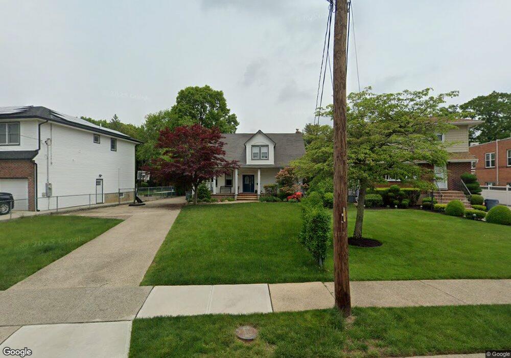
263 Locust St West Hempstead, NY 11552
Estimated Value: $1,061,509 - $1,089,000
4
Beds
3
Baths
2,261
Sq Ft
$476/Sq Ft
Est. Value
About This Home
This home is located at 263 Locust St, West Hempstead, NY 11552 and is currently estimated at $1,075,255, approximately $475 per square foot. 263 Locust St is a home located in Nassau County with nearby schools including Chestnut Street School, West Hempstead Middle School, and West Hempstead Secondary School.
Ownership History
Date
Name
Owned For
Owner Type
Purchase Details
Closed on
Mar 27, 2015
Sold by
Miller Mary A
Bought by
Wargon Jason and Wargon Naomi
Current Estimated Value
Purchase Details
Closed on
Jul 2, 2010
Sold by
Arenas Anthony P
Bought by
Miller Mary A
Purchase Details
Closed on
Jul 6, 2007
Sold by
Miller Mary
Purchase Details
Closed on
May 15, 2001
Create a Home Valuation Report for This Property
The Home Valuation Report is an in-depth analysis detailing your home's value as well as a comparison with similar homes in the area
Home Values in the Area
Average Home Value in this Area
Purchase History
| Date | Buyer | Sale Price | Title Company |
|---|---|---|---|
| Wargon Jason | $540,000 | Standard Form Of New York | |
| Wargon Jason | $540,000 | Standard Form Of New York | |
| Wargon Jason | $540,000 | Standard Form Of New York | |
| Miller Mary A | -- | -- | |
| Miller Mary A | -- | -- | |
| Miller Mary A | -- | -- | |
| -- | -- | -- | |
| -- | -- | -- | |
| -- | -- | -- | |
| -- | -- | -- |
Source: Public Records
Tax History
| Year | Tax Paid | Tax Assessment Tax Assessment Total Assessment is a certain percentage of the fair market value that is determined by local assessors to be the total taxable value of land and additions on the property. | Land | Improvement |
|---|---|---|---|---|
| 2025 | $18,358 | $644 | $343 | $301 |
| 2024 | $5,747 | $657 | $350 | $307 |
Source: Public Records
Map
Nearby Homes
- 369 Woodfield Rd
- 217 Wilson St
- 268 Spruce St
- 218 Colony St
- 227 Colony St
- 352 Hempstead Ave
- 447 Chestnut St
- 590 Langley Ave
- 240 Woodfield Rd
- 412 Coolidge St
- 635 Hempstead Ave
- 512 Elm St
- 218 Woodlawn Rd
- 106 Sycamore St
- 126 Oakland Ave
- 303 Nassau Blvd
- 321 Oakford St
- 27 Richard St
- 350 Paul Place
- 26 Sycamore St
- 271 Locust St
- 261 Locust St
- 255 Locust St
- 255 Locust St
- 245 Locust St
- 258 Locust St
- 272 Locust St
- 260 Chestnut St
- 453 Locust Terrace
- 456 Duryea Terrace
- 289 Locust St
- 233 Locust St
- 286 Chestnut St
- 463 Locust Terrace
- 464 Duryea Terrace
- 290 Locust St
- 250 Locust St
- 239 Locust St
- 297 Locust St
- 290 Chestnut St
Your Personal Tour Guide
Ask me questions while you tour the home.