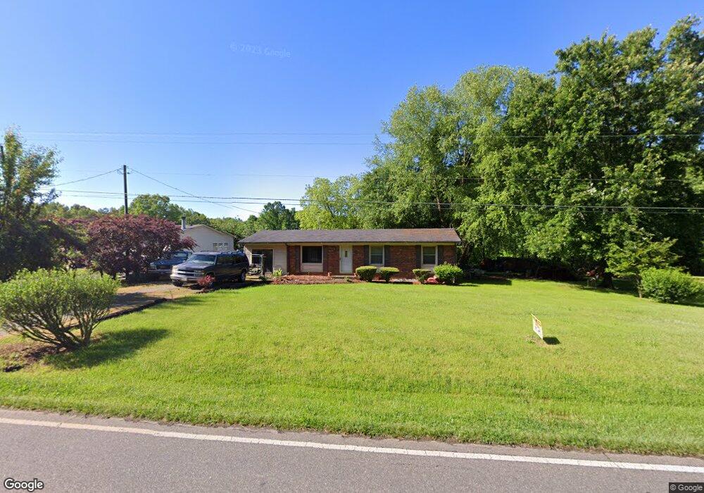
263 Mckendree Rd Mooresville, NC 28117
Estimated Value: $397,000 - $641,000
3
Beds
1
Bath
1,349
Sq Ft
$393/Sq Ft
Est. Value
About This Home
This home is located at 263 Mckendree Rd, Mooresville, NC 28117 and is currently estimated at $530,333, approximately $393 per square foot. 263 Mckendree Rd is a home located in Iredell County with nearby schools including Woodland Heights Elementary School and Lake Norman High School.
Ownership History
Date
Name
Owned For
Owner Type
Purchase Details
Closed on
May 17, 2001
Sold by
Stewart Leonard F and Stewart Helen
Bought by
Stewart Howard E
Current Estimated Value
Home Financials for this Owner
Home Financials are based on the most recent Mortgage that was taken out on this home.
Original Mortgage
$69,275
Outstanding Balance
$25,771
Interest Rate
6.98%
Mortgage Type
Credit Line Revolving
Estimated Equity
$504,562
Purchase Details
Closed on
Aug 1, 1990
Create a Home Valuation Report for This Property
The Home Valuation Report is an in-depth analysis detailing your home's value as well as a comparison with similar homes in the area
Home Values in the Area
Average Home Value in this Area
Purchase History
| Date | Buyer | Sale Price | Title Company |
|---|---|---|---|
| Stewart Howard E | -- | -- | |
| -- | $40,000 | -- |
Source: Public Records
Mortgage History
| Date | Status | Borrower | Loan Amount |
|---|---|---|---|
| Open | Stewart Howard E | $69,275 |
Source: Public Records
Tax History Compared to Growth
Tax History
| Year | Tax Paid | Tax Assessment Tax Assessment Total Assessment is a certain percentage of the fair market value that is determined by local assessors to be the total taxable value of land and additions on the property. | Land | Improvement |
|---|---|---|---|---|
| 2024 | $1,189 | $180,570 | $85,960 | $94,610 |
| 2023 | $1,125 | $180,570 | $85,960 | $94,610 |
| 2022 | $1,002 | $150,050 | $85,960 | $64,090 |
| 2021 | $998 | $150,050 | $85,960 | $64,090 |
| 2020 | $998 | $150,050 | $85,960 | $64,090 |
| 2019 | $983 | $150,050 | $85,960 | $64,090 |
| 2018 | $916 | $144,600 | $85,960 | $58,640 |
| 2017 | $916 | $144,600 | $85,960 | $58,640 |
| 2016 | $916 | $144,600 | $85,960 | $58,640 |
| 2015 | $916 | $144,600 | $85,960 | $58,640 |
| 2014 | -- | $149,740 | $85,960 | $63,780 |
Source: Public Records
Map
Nearby Homes
- 0 Brook Dr
- 440 Beech Tree Rd
- 128 Wickford Ln
- 142 Magnolia Farms Ln
- 111 Stamford Ct
- 121 Poplar Grove Rd Unit 2
- 139 Poplar Grove Rd
- 139 E Callicutt Trail
- 254 & 258 Southfork Rd
- 135 Poplar Grove Rd Unit 4
- 0 Pomeroy Rd
- 205 Grasshopper Cir
- 159 Montclair Dr
- 136 Digh Cir
- 00 Beech Tree Rd
- 109 Wingstem Ct
- 419 Kemp Rd
- 505 Kemp Rd
- 515 Kemp Rd
- 122 Ardmore Place
- 259 Mckendree Rd
- 253 Mckendree Rd
- 105 Brookridge Ln
- 266 Mckendree Rd
- 106 Brookridge Ln
- 272 Mckendree Rd
- 241 Mckendree Rd
- 113 Brookridge Ln
- 276 Mckendree Rd
- 000 Brookridge Ln Unit 1
- 244 Mckendree Rd
- 116 Brookridge Ln
- 112 Fulton Farms Ln
- 119 Brookridge Ln
- 240 Mckendree Rd
- 240 Mckendree Rd Unit 10
- 122 Fulton Farms Ln
- 122 Brookridge Ln
- 231 Mckendree Rd
- 127 Brookridge Ln