263 Paseo Rd Carbondale, CO 81623
Estimated Value: $1,283,721 - $1,682,000
2
Beds
2
Baths
1,704
Sq Ft
$840/Sq Ft
Est. Value
About This Home
This home is located at 263 Paseo Rd, Carbondale, CO 81623 and is currently estimated at $1,431,930, approximately $840 per square foot. 263 Paseo Rd is a home located in Eagle County with nearby schools including Cornerstone Classical School.
Ownership History
Date
Name
Owned For
Owner Type
Purchase Details
Closed on
Jul 18, 2006
Sold by
Calkins Carol M
Bought by
Jacobs Rodney H
Current Estimated Value
Home Financials for this Owner
Home Financials are based on the most recent Mortgage that was taken out on this home.
Original Mortgage
$75,000
Outstanding Balance
$44,195
Interest Rate
7%
Mortgage Type
Seller Take Back
Estimated Equity
$1,387,735
Purchase Details
Closed on
Mar 15, 2000
Sold by
Calkins Kenneth M
Bought by
Jacobs Rodney H
Home Financials for this Owner
Home Financials are based on the most recent Mortgage that was taken out on this home.
Original Mortgage
$58,345
Interest Rate
8.37%
Purchase Details
Closed on
Jul 8, 1968
Sold by
Midvalley Land Company
Bought by
Oswald Charles W
Create a Home Valuation Report for This Property
The Home Valuation Report is an in-depth analysis detailing your home's value as well as a comparison with similar homes in the area
Home Values in the Area
Average Home Value in this Area
Purchase History
| Date | Buyer | Sale Price | Title Company |
|---|---|---|---|
| Jacobs Rodney H | $250,000 | Stewart Title | |
| Jacobs Rodney H | $58,300 | -- | |
| Oswald Charles W | $6,000 | -- |
Source: Public Records
Mortgage History
| Date | Status | Borrower | Loan Amount |
|---|---|---|---|
| Open | Jacobs Rodney H | $75,000 | |
| Previous Owner | Jacobs Rodney H | $58,345 |
Source: Public Records
Tax History
| Year | Tax Paid | Tax Assessment Tax Assessment Total Assessment is a certain percentage of the fair market value that is determined by local assessors to be the total taxable value of land and additions on the property. | Land | Improvement |
|---|---|---|---|---|
| 2025 | $5,918 | $82,970 | $36,880 | $46,090 |
| 2024 | $5,737 | $77,070 | $23,980 | $53,090 |
| 2023 | $5,737 | $77,070 | $23,980 | $53,090 |
| 2022 | $3,688 | $45,890 | $13,210 | $32,680 |
| 2021 | $3,791 | $47,210 | $13,590 | $33,620 |
| 2020 | $3,303 | $43,190 | $13,590 | $29,600 |
| 2019 | $3,335 | $43,190 | $13,590 | $29,600 |
| 2018 | $2,946 | $37,800 | $15,840 | $21,960 |
| 2017 | $2,790 | $37,800 | $15,840 | $21,960 |
| 2016 | $3,218 | $42,840 | $14,330 | $28,510 |
| 2015 | -- | $42,840 | $14,330 | $28,510 |
| 2014 | $2,545 | $35,670 | $13,530 | $22,140 |
Source: Public Records
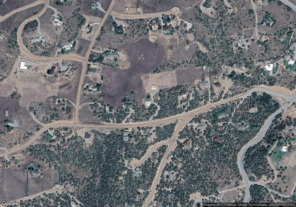
Map
Nearby Homes
- 614 Escalante Rd
- 577 Fox Run Dr
- 14 Fender Ln
- 306 Green Meadow Dr
- 735 Green Meadow Dr
- 456 Black Bear Trail
- 19 Buckskin Ct
- 81 Mountain View Rd
- 123 Summit Dr
- 604 Larkspur Dr
- 0 Larkspur Dr
- 364 Larkspur Dr
- 500 Whitecloud Rd
- 219 Overlook
- 114 Juniper Trail
- 145 Juniper Trail
- 140 Juniper Trail Unit 140
- 17317 Highway 82
- 1207 Hooks Spur Rd
- 201 Tree Farm Dr Unit The Creekside
Your Personal Tour Guide
Ask me questions while you tour the home.