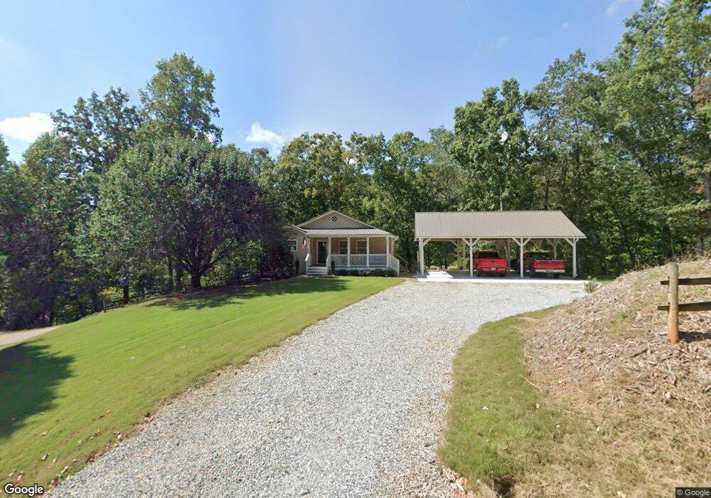
263 Robinson Rd Dahlonega, GA 30533
Estimated Value: $300,681 - $543,000
--
Bed
2
Baths
1,138
Sq Ft
$383/Sq Ft
Est. Value
About This Home
This home is located at 263 Robinson Rd, Dahlonega, GA 30533 and is currently estimated at $435,920, approximately $383 per square foot. 263 Robinson Rd is a home located in Lumpkin County with nearby schools including Clay County Middle School and Lumpkin County High School.
Ownership History
Date
Name
Owned For
Owner Type
Purchase Details
Closed on
Apr 23, 2009
Sold by
Abbott Jeffrey D
Bought by
Abbott Jeffrey D
Current Estimated Value
Home Financials for this Owner
Home Financials are based on the most recent Mortgage that was taken out on this home.
Original Mortgage
$212,657
Outstanding Balance
$133,855
Interest Rate
4.86%
Mortgage Type
FHA
Estimated Equity
$302,065
Purchase Details
Closed on
Apr 28, 1999
Sold by
Abbott Jeffrey D
Bought by
Abbott Jeffrey D
Purchase Details
Closed on
Sep 30, 1997
Bought by
Abbott Jeffrey D
Create a Home Valuation Report for This Property
The Home Valuation Report is an in-depth analysis detailing your home's value as well as a comparison with similar homes in the area
Home Values in the Area
Average Home Value in this Area
Purchase History
| Date | Buyer | Sale Price | Title Company |
|---|---|---|---|
| Abbott Jeffrey D | -- | -- | |
| Abbott Jeffrey D | -- | -- | |
| Abbott Jeffrey D | $45,000 | -- |
Source: Public Records
Mortgage History
| Date | Status | Borrower | Loan Amount |
|---|---|---|---|
| Open | Abbott Jeffrey D | $212,657 |
Source: Public Records
Tax History Compared to Growth
Tax History
| Year | Tax Paid | Tax Assessment Tax Assessment Total Assessment is a certain percentage of the fair market value that is determined by local assessors to be the total taxable value of land and additions on the property. | Land | Improvement |
|---|---|---|---|---|
| 2024 | $2,785 | $121,207 | $44,797 | $76,410 |
| 2023 | $2,186 | $112,518 | $40,724 | $71,794 |
| 2022 | $2,294 | $94,664 | $33,937 | $60,727 |
| 2021 | $2,144 | $85,746 | $33,937 | $51,809 |
| 2020 | $2,051 | $79,761 | $32,520 | $47,241 |
| 2019 | $2,070 | $79,761 | $32,520 | $47,241 |
| 2018 | $2,046 | $74,124 | $32,520 | $41,604 |
| 2017 | $2,041 | $72,551 | $32,520 | $40,031 |
| 2016 | $1,965 | $67,716 | $32,520 | $35,196 |
| 2015 | $1,743 | $67,717 | $32,520 | $35,196 |
| 2014 | $1,743 | $68,112 | $32,520 | $35,592 |
| 2013 | -- | $68,902 | $32,520 | $36,382 |
Source: Public Records
Map
Nearby Homes
- 0 Robinson Rd Unit 10597950
- 0 Robinson Rd Unit 7643549
- 1050 Robinson Rd
- 67 Quartz Way
- 38 Cavender Run
- 103 Rockhound Dr
- 72 Rustin Ridge Unit 276
- 58 Rustin Ridge Unit 278
- 42 Rustin Ridge Unit 285
- 6038 S Chestatee
- 134 Rockhound Dr
- 1376 Robinson Rd
- 0 Long Branch Rd Unit 10271720
- 0 Long Branch Rd Unit 10271266
- 0 Long Branch Rd Unit 7357871
- 00 Long Branch Rd
- 6439 S Chestatee
- 131 Chestatee Springs Ridge
- 5195 S Chestatee
- 134 Prospector Ridge
- 210 Robinson Rd
- 216 Robinson Rd
- 477 Robinson Rd
- 80 Robinson Rd
- 973 Long Branch Rd
- 545 Robinson Rd
- 41 Flynt Ridge Dr
- 17 Flynt Ridge Dr
- 551 Robinson Rd
- 1077 Long Branch Rd
- 1071 Long Branch Rd
- 16 Flynt Ridge Dr
- 16 Flynt Ridge Dr
- 0 Robinson Rd Tract 1c
- 36 Flynt Ridge Dr
- 83 Flynt Ridge Dr
- 723 Long Branch Rd
- 0 Robinson Rd Unit 5929706
- 0 Robinson Rd Unit 122 8283392
- 0 Robinson Rd Unit 3162069