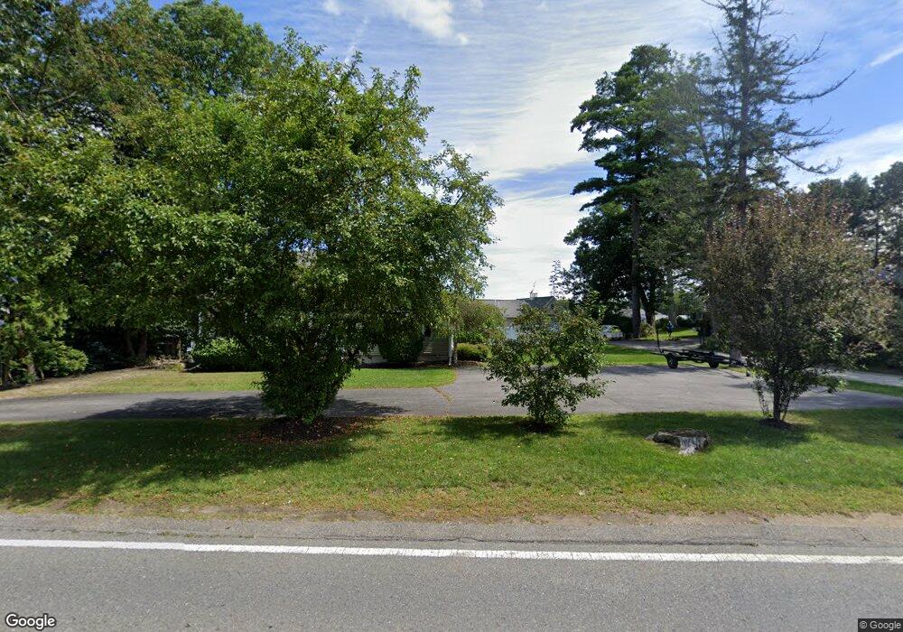
263 Thompson Rd Webster, MA 01570
Estimated Value: $840,000 - $1,074,000
5
Beds
5
Baths
3,940
Sq Ft
$240/Sq Ft
Est. Value
About This Home
This home is located at 263 Thompson Rd, Webster, MA 01570 and is currently estimated at $946,069, approximately $240 per square foot. 263 Thompson Rd is a home located in Worcester County with nearby schools including Park Avenue Elementary School, Webster Middle School, and Bartlett High School.
Ownership History
Date
Name
Owned For
Owner Type
Purchase Details
Closed on
Aug 7, 2015
Sold by
Steinberg Lee G and Morey Carol A
Bought by
Klauzinski Carol L
Current Estimated Value
Home Financials for this Owner
Home Financials are based on the most recent Mortgage that was taken out on this home.
Original Mortgage
$390,000
Outstanding Balance
$306,420
Interest Rate
4%
Mortgage Type
New Conventional
Estimated Equity
$639,649
Create a Home Valuation Report for This Property
The Home Valuation Report is an in-depth analysis detailing your home's value as well as a comparison with similar homes in the area
Home Values in the Area
Average Home Value in this Area
Purchase History
| Date | Buyer | Sale Price | Title Company |
|---|---|---|---|
| Klauzinski Carol L | $495,000 | -- | |
| Steinberg Lee G | -- | -- |
Source: Public Records
Mortgage History
| Date | Status | Borrower | Loan Amount |
|---|---|---|---|
| Open | Klauzinski Carol L | $390,000 |
Source: Public Records
Tax History
| Year | Tax Paid | Tax Assessment Tax Assessment Total Assessment is a certain percentage of the fair market value that is determined by local assessors to be the total taxable value of land and additions on the property. | Land | Improvement |
|---|---|---|---|---|
| 2025 | $11,420 | $961,300 | $295,300 | $666,000 |
| 2024 | $10,972 | $900,800 | $284,000 | $616,800 |
| 2023 | $9,535 | $762,800 | $270,400 | $492,400 |
| 2022 | $10,055 | $720,300 | $262,600 | $457,700 |
| 2021 | $10,134 | $671,100 | $262,600 | $408,500 |
| 2020 | $10,161 | $674,700 | $262,600 | $412,100 |
| 2019 | $3,872 | $625,000 | $262,600 | $362,400 |
| 2018 | $8,324 | $540,900 | $244,100 | $296,800 |
| 2017 | $2,170 | $493,900 | $246,300 | $247,600 |
| 2016 | $3,932 | $259,700 | $44,600 | $215,100 |
| 2015 | $3,682 | $250,800 | $50,000 | $200,800 |
Source: Public Records
Map
Nearby Homes
- 53-55 Point Pleasant Rd
- 0 Thompson Rd
- 125 Birch Island Rd
- 36 Lake Pkwy
- 10 Indian Point Rd
- 00 Juniper Ln
- 13 S Point Rd
- 27 Ash St
- 1 Brook St
- 51 &52 lot Oscar Rd
- 30 Valley St
- 23 Lakeview Rd
- 48 Lake St
- 17 Mount Pleasant St
- 66 Whitcomb St
- 26 Wakefield Ave
- 13 5th Ave
- 19 Myrtle Ave
- 29 Whitcomb St
- 3 Upper Gore Rd
- 265 Thompson Rd
- 261 Thompson Rd
- 253A Thompson Rd
- 253 Thompson Rd
- 267 Thompson Rd
- 253B Thompson Rd
- 279 Thompson Rd
- 260 Thompson Rd
- 264 Thompson Rd
- 258 Thompson Rd
- 256 Thompson Rd
- 27 Point Pleasant Rd
- 23 Point Pleasant Rd
- 31 Point Pleasant Rd
- 252 Thompson Rd
- 251 Thompson Rd
- 33 Point Pleasant Rd
- 283 Thompson Rd
- 250 Thompson Rd
- 30 Point Pleasant Rd
Your Personal Tour Guide
Ask me questions while you tour the home.