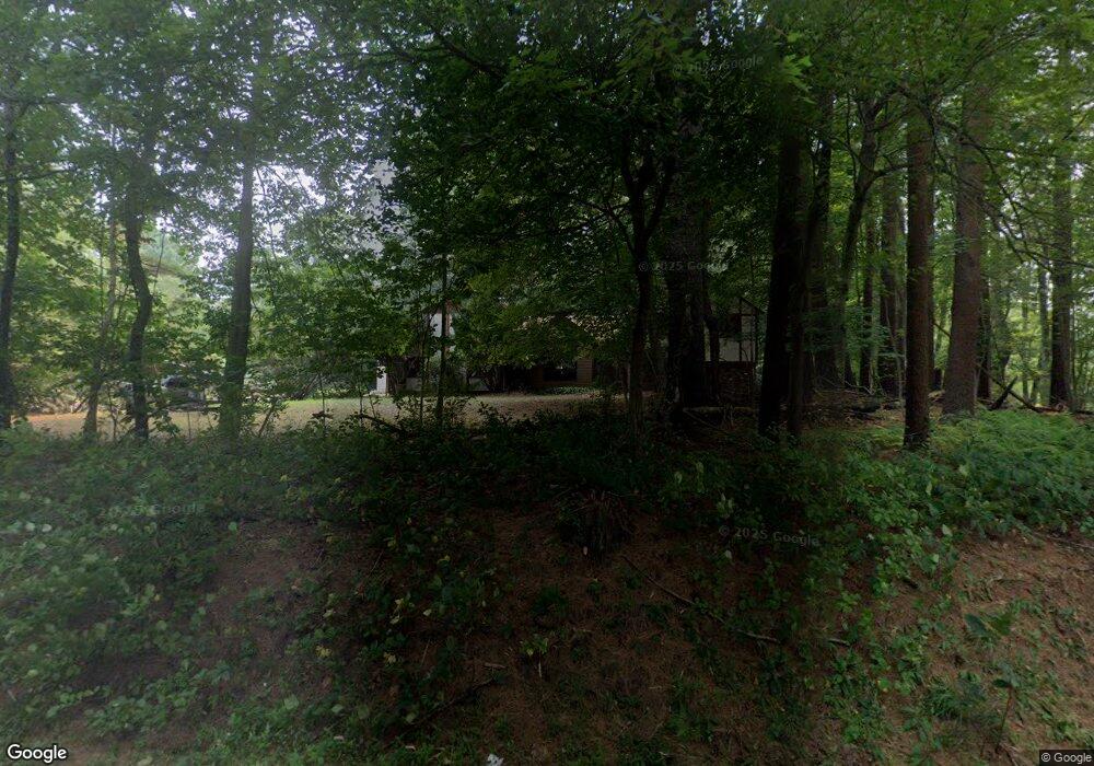
263 Washington St Sherborn, MA 01770
Estimated Value: $945,000 - $1,451,000
3
Beds
4
Baths
2,836
Sq Ft
$400/Sq Ft
Est. Value
About This Home
This home is located at 263 Washington St, Sherborn, MA 01770 and is currently estimated at $1,133,056, approximately $399 per square foot. 263 Washington St is a home located in Middlesex County with nearby schools including Pine Hill Elementary School, Dover-Sherborn Regional Middle School, and Dover-Sherborn Regional High School.
Ownership History
Date
Name
Owned For
Owner Type
Purchase Details
Closed on
Apr 28, 1995
Sold by
Wilhelm Rt and Wilhelm Frederick A
Bought by
Sperling Richard I
Current Estimated Value
Home Financials for this Owner
Home Financials are based on the most recent Mortgage that was taken out on this home.
Original Mortgage
$250,000
Interest Rate
8.33%
Mortgage Type
Purchase Money Mortgage
Purchase Details
Closed on
Dec 15, 1988
Sold by
Cohen Kenneth D
Bought by
Wilhelm Rt
Create a Home Valuation Report for This Property
The Home Valuation Report is an in-depth analysis detailing your home's value as well as a comparison with similar homes in the area
Home Values in the Area
Average Home Value in this Area
Purchase History
| Date | Buyer | Sale Price | Title Company |
|---|---|---|---|
| Sperling Richard I | $318,750 | -- | |
| Wilhelm Rt | $300,000 | -- |
Source: Public Records
Mortgage History
| Date | Status | Borrower | Loan Amount |
|---|---|---|---|
| Open | Wilhelm Rt | $122,151 | |
| Open | Wilhelm Rt | $236,000 | |
| Closed | Wilhelm Rt | $62,000 | |
| Closed | Wilhelm Rt | $250,000 |
Source: Public Records
Tax History Compared to Growth
Tax History
| Year | Tax Paid | Tax Assessment Tax Assessment Total Assessment is a certain percentage of the fair market value that is determined by local assessors to be the total taxable value of land and additions on the property. | Land | Improvement |
|---|---|---|---|---|
| 2025 | $12,417 | $748,900 | $361,700 | $387,200 |
| 2024 | $11,611 | $685,000 | $325,700 | $359,300 |
| 2023 | $11,669 | $647,900 | $325,700 | $322,200 |
| 2022 | $10,860 | $570,700 | $296,200 | $274,500 |
| 2021 | $11,028 | $561,800 | $296,200 | $265,600 |
| 2020 | $10,933 | $561,800 | $296,200 | $265,600 |
| 2019 | $10,328 | $526,400 | $296,200 | $230,200 |
| 2018 | $10,160 | $526,400 | $296,200 | $230,200 |
| 2017 | $9,696 | $473,900 | $284,600 | $189,300 |
| 2016 | $9,748 | $473,900 | $284,600 | $189,300 |
| 2015 | $9,339 | $459,600 | $267,300 | $192,300 |
| 2014 | $8,622 | $423,900 | $238,500 | $185,400 |
Source: Public Records
Map
Nearby Homes
- 6 Brook St
- 195 High St
- 131 Jennings Rd
- 151 Mohawk Path
- 133 Brooksmont Dr Unit 43
- 56 Roy Ave
- 95 Brooksmont Dr Unit 26
- 32 Colonial Way
- 11 Francine Dr
- 54 Westfield Dr
- 160 Winter St
- 121 Bullard St
- 18 Wildwood Dr
- 150 Westfield Dr
- 59 Turner Rd
- 20 Nason Hill Rd
- 30 Powderhorn Ln
- 156 Mitchell Rd
- 147 Turner Rd Unit 80
- 152 Turner Rd Unit 43
- 259 Washington St
- 266 Washington St
- 257 Washington St
- 1 Knollcrest Farm Ln
- 1 Knollcrest Farm Dr
- 270 Washington St
- 28 Cranberry Ln
- 254 Washington St
- 26 Southfield Ln Unit 26
- 28 Southfield Ln Unit 28
- Lot 82 Knollcrest Farm Ln
- Lot 81A Knollcrest Farm Ln
- 19 Brook St
- 46 Cranberry Ln
- 1 Southfield Ln
- 1 Southfield Ln Unit 32
- 1 Southfield Ln Unit 30
- 1 Southfield Ln Unit 1
- 50 Cranberry Ln
- 247 Washington St