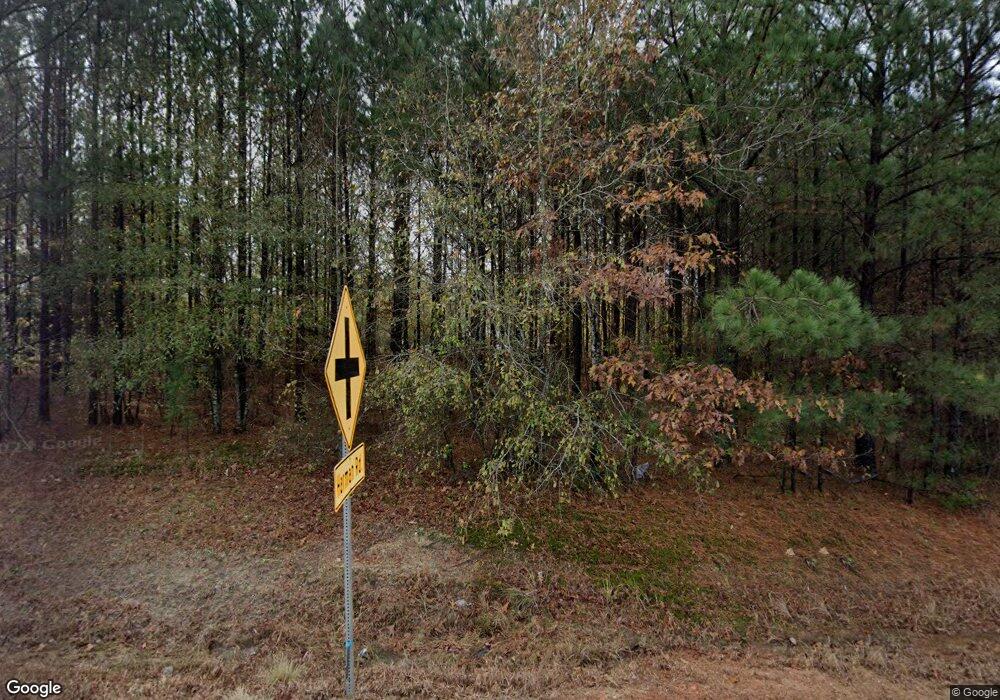
2630 Lagrange Hwy Greenville, GA 30222
Estimated Value: $164,000 - $329,000
4
Beds
2
Baths
1,548
Sq Ft
$141/Sq Ft
Est. Value
About This Home
This home is located at 2630 Lagrange Hwy, Greenville, GA 30222 and is currently estimated at $218,973, approximately $141 per square foot. 2630 Lagrange Hwy is a home located in Meriwether County with nearby schools including George E. Washington Elementary School.
Ownership History
Date
Name
Owned For
Owner Type
Purchase Details
Closed on
Feb 26, 2020
Sold by
Rodgers Bobby L
Bought by
Smak Properties Llc
Current Estimated Value
Home Financials for this Owner
Home Financials are based on the most recent Mortgage that was taken out on this home.
Original Mortgage
$130,000
Interest Rate
3.5%
Mortgage Type
Commercial
Purchase Details
Closed on
Jan 1, 1989
Sold by
Smith Ellen C
Bought by
Rodgers Bobby L
Purchase Details
Closed on
Jul 26, 1983
Sold by
Hall Virginia L
Bought by
Smith Ellen C
Create a Home Valuation Report for This Property
The Home Valuation Report is an in-depth analysis detailing your home's value as well as a comparison with similar homes in the area
Home Values in the Area
Average Home Value in this Area
Purchase History
| Date | Buyer | Sale Price | Title Company |
|---|---|---|---|
| Smak Properties Llc | $11,000 | -- | |
| Rodgers Bobby L | -- | -- | |
| Smith Ellen C | -- | -- |
Source: Public Records
Mortgage History
| Date | Status | Borrower | Loan Amount |
|---|---|---|---|
| Closed | Smak Properties Llc | $130,000 |
Source: Public Records
Tax History Compared to Growth
Tax History
| Year | Tax Paid | Tax Assessment Tax Assessment Total Assessment is a certain percentage of the fair market value that is determined by local assessors to be the total taxable value of land and additions on the property. | Land | Improvement |
|---|---|---|---|---|
| 2024 | $1,698 | $51,120 | $5,080 | $46,040 |
| 2023 | $1,165 | $33,760 | $5,080 | $28,680 |
| 2022 | $1,165 | $33,760 | $5,080 | $28,680 |
| 2021 | $1,184 | $33,760 | $5,080 | $28,680 |
| 2020 | $469 | $33,760 | $5,080 | $28,680 |
| 2019 | $428 | $33,760 | $5,080 | $28,680 |
| 2018 | $474 | $34,560 | $5,080 | $29,480 |
| 2017 | $508 | $34,560 | $5,080 | $29,480 |
| 2016 | $401 | $34,696 | $5,080 | $29,616 |
| 2015 | $402 | $34,696 | $5,080 | $29,616 |
| 2014 | $404 | $34,696 | $5,080 | $29,616 |
| 2013 | -- | $34,696 | $5,080 | $29,616 |
Source: Public Records
Map
Nearby Homes
- 0 Branch Hebron Rd Unit 10624528
- 4444 Lagrange Hwy
- 4973 Greenville Rd
- 494 Thrash Rd
- 829 Thrash Rd
- 0 Fincher St
- 21.6 ACRES Wadley St
- 6.4 ACRES Wadley St
- 6.2 ACRES Wadley St
- 4117 Greenville Rd
- 229 Big Springs Mountville Rd
- 0 Alverson Rd
- 142 Carr Rd
- 5582 Georgia 100
- 2638 Jarrell Rd
- 6608 Highway 100
- 1152 Old Durand Rd
- 0 Winter Rd Unit 10499103
- 865 Forrest Rd
- 964 Forrest Rd
- 2630 Lagrange Hwy
- 2632 Lagrange Hwy
- 350 Harman Rd
- 2503 Lagrange Hwy
- 2501 Lagrange Hwy
- 360 Harman Rd
- 371 Harman Rd
- 2820 Lagrange Hwy
- 777 Emerson Rd
- 451 Harman Rd
- 2830 Lagrange Hwy
- 0 Harmony Church Rd Unit 20152210
- 756 Emerson Rd
- 756 Emerson Rd
- 2291 Lagrange Hwy
- 2296 Lagrange Hwy
- 684 Emerson Rd
- 2930 Lagrange Hwy
- 905 Tiggs Rd
- 905 Emerson Rd
