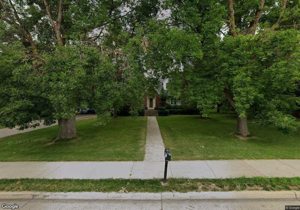
2630 N 800 E North Logan, UT 84341
Estimated Value: $578,000 - $653,000
6
Beds
3
Baths
3,366
Sq Ft
$184/Sq Ft
Est. Value
About This Home
This home is located at 2630 N 800 E, North Logan, UT 84341 and is currently estimated at $620,588, approximately $184 per square foot. 2630 N 800 E is a home located in Cache County with nearby schools including North Park School, Cedar Ridge School, and North Cache Middle School.
Ownership History
Date
Name
Owned For
Owner Type
Purchase Details
Closed on
Oct 4, 2013
Sold by
Smellie David and Smellie Lindsay
Bought by
Stott David C
Current Estimated Value
Home Financials for this Owner
Home Financials are based on the most recent Mortgage that was taken out on this home.
Original Mortgage
$208,000
Outstanding Balance
$155,787
Interest Rate
4.57%
Mortgage Type
New Conventional
Estimated Equity
$464,801
Purchase Details
Closed on
Dec 9, 2005
Sold by
Baugh Maxine P
Bought by
Smellie David and Smellie Lindsay
Home Financials for this Owner
Home Financials are based on the most recent Mortgage that was taken out on this home.
Original Mortgage
$30,750
Interest Rate
6.35%
Mortgage Type
Stand Alone Second
Create a Home Valuation Report for This Property
The Home Valuation Report is an in-depth analysis detailing your home's value as well as a comparison with similar homes in the area
Home Values in the Area
Average Home Value in this Area
Purchase History
| Date | Buyer | Sale Price | Title Company |
|---|---|---|---|
| Stott David C | -- | Pinnacle Title Ins Agency | |
| Smellie David | -- | Hickman Land Title Company |
Source: Public Records
Mortgage History
| Date | Status | Borrower | Loan Amount |
|---|---|---|---|
| Open | Stott David C | $208,000 | |
| Previous Owner | Smellie David | $30,750 | |
| Previous Owner | Smellie David | $164,000 |
Source: Public Records
Tax History
| Year | Tax Paid | Tax Assessment Tax Assessment Total Assessment is a certain percentage of the fair market value that is determined by local assessors to be the total taxable value of land and additions on the property. | Land | Improvement |
|---|---|---|---|---|
| 2025 | $2,208 | $309,035 | $0 | $0 |
| 2024 | $2,348 | $305,820 | $0 | $0 |
| 2023 | $2,320 | $282,735 | $0 | $0 |
| 2022 | $2,419 | $281,740 | $0 | $0 |
| 2021 | $2,267 | $407,860 | $113,800 | $294,060 |
| 2020 | $2,017 | $340,000 | $113,800 | $226,200 |
| 2019 | $2,112 | $340,000 | $113,800 | $226,200 |
| 2018 | $1,945 | $303,528 | $113,800 | $189,728 |
| 2017 | $1,737 | $143,370 | $0 | $0 |
| 2016 | $1,764 | $143,370 | $0 | $0 |
| 2015 | $1,771 | $143,370 | $0 | $0 |
| 2014 | $1,729 | $143,370 | $0 | $0 |
| 2013 | -- | $112,210 | $0 | $0 |
Source: Public Records
Map
Nearby Homes
- 2469 N 620 E Unit 3
- 2477 N 620 E Unit 4
- 2284 N 740 E
- 1185 E 2500 N
- 2640 N Aspen Park Ln
- 741 E 2200 N
- 680 S 50 E Unit 112
- 623 E 2475 N Unit 5
- 645 E 2475 N
- 667 E 2475 N
- 1872 N 515 W
- 2592 N 330 E
- 2168 N 750 E
- 1593 N 110 W Unit 201
- 611 E 2450 N Unit 1
- 1593 N 110 W Unit 202
- 1593 N 110 W Unit 204
- 1200 W 1400 N
- 2950 N Mahogony Valley Rd E Unit 7
- 1598 N Sharptail Cir
Your Personal Tour Guide
Ask me questions while you tour the home.