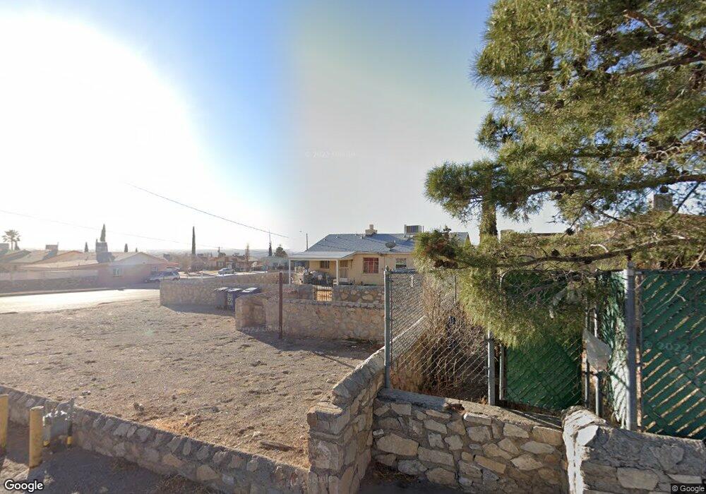
2631 Fort Blvd El Paso, TX 79930
Central NeighborhoodEstimated Value: $173,596 - $200,000
3
Beds
1
Bath
1,120
Sq Ft
$165/Sq Ft
Est. Value
About This Home
This home is located at 2631 Fort Blvd, El Paso, TX 79930 and is currently estimated at $184,399, approximately $164 per square foot. 2631 Fort Blvd is a home located in El Paso County with nearby schools including Clendenin Elementary School, Middle School-5 NW Middle, and Austin High School.
Ownership History
Date
Name
Owned For
Owner Type
Purchase Details
Closed on
Oct 7, 2005
Sold by
Castanon Mario
Bought by
Herrera Sergio and Ortiz Esther L
Current Estimated Value
Home Financials for this Owner
Home Financials are based on the most recent Mortgage that was taken out on this home.
Original Mortgage
$80,000
Outstanding Balance
$42,522
Interest Rate
5.65%
Mortgage Type
Seller Take Back
Estimated Equity
$141,877
Purchase Details
Closed on
Jul 22, 2004
Sold by
Caro Samuel and Caro Maria J
Bought by
Castanon Mario
Home Financials for this Owner
Home Financials are based on the most recent Mortgage that was taken out on this home.
Original Mortgage
$35,000
Interest Rate
6.3%
Mortgage Type
Purchase Money Mortgage
Purchase Details
Closed on
Dec 18, 1996
Sold by
Lula B Rogers Trust
Bought by
Caro Samuel and Caro Maria J
Home Financials for this Owner
Home Financials are based on the most recent Mortgage that was taken out on this home.
Original Mortgage
$46,750
Interest Rate
7.71%
Create a Home Valuation Report for This Property
The Home Valuation Report is an in-depth analysis detailing your home's value as well as a comparison with similar homes in the area
Home Values in the Area
Average Home Value in this Area
Purchase History
| Date | Buyer | Sale Price | Title Company |
|---|---|---|---|
| Herrera Sergio | -- | -- | |
| Castanon Mario | -- | -- | |
| Caro Samuel | -- | -- |
Source: Public Records
Mortgage History
| Date | Status | Borrower | Loan Amount |
|---|---|---|---|
| Open | Herrera Sergio | $80,000 | |
| Previous Owner | Castanon Mario | $35,000 | |
| Previous Owner | Caro Samuel | $46,750 |
Source: Public Records
Tax History Compared to Growth
Tax History
| Year | Tax Paid | Tax Assessment Tax Assessment Total Assessment is a certain percentage of the fair market value that is determined by local assessors to be the total taxable value of land and additions on the property. | Land | Improvement |
|---|---|---|---|---|
| 2025 | $3,425 | $151,046 | $27,580 | $123,466 |
| 2024 | $3,425 | $139,822 | $27,580 | $112,242 |
| 2023 | $3,042 | $109,952 | $16,417 | $93,535 |
| 2022 | $3,029 | $102,309 | $16,417 | $85,892 |
| 2021 | $2,689 | $86,110 | $16,417 | $69,693 |
| 2020 | $1,914 | $62,279 | $16,417 | $45,862 |
| 2018 | $1,806 | $61,014 | $16,417 | $44,597 |
| 2017 | $1,810 | $64,242 | $16,417 | $47,825 |
| 2016 | $2,085 | $74,037 | $16,417 | $57,620 |
| 2015 | $2,030 | $74,037 | $16,417 | $57,620 |
| 2014 | $2,030 | $74,172 | $16,417 | $57,755 |
Source: Public Records
Map
Nearby Homes
- PN-258825 Tbd
- PN-391630 Alabama St
- 3027 Morehead Ave
- 3031 Fort Blvd
- 2816 N Piedras St
- 2917 Mobile Ave
- 3904 N Piedras St Unit A-B
- 3018 Sacramento Ave
- 3125 Hamilton Ave
- 3021 Monroe Ave
- 2610 Frankfort Ave
- 3215 Mobile Ave
- 2903 Savannah Ave
- 3104 Van Buren Ave
- 3009 Savannah Ave
- 3204 Memphis Ave
- 2801 Polk Ave
- 3327 Mobile Ave
- 2704 Taylor Ave
- 3427 Hamilton Ave
- 2631 Fort Blvd
- 2627 Fort Blvd
- 2623 Fort Blvd
- 2701 Fort Blvd
- 2703 Fort Blvd
- 2619 Fort Blvd
- 2705 Fort Blvd
- 2700 Morehead Ave
- 2613 Fort Blvd
- 2704 Morehead Ave
- 2630 Fort Blvd
- 2630 Fort Blvd
- 2609 Fort Blvd
- 2600 Morehead Ave
- 2715 Fort Blvd
- 2700 Fort Blvd
- 2708 Morehead Ave
- 2704 Fort Blvd
- 2708 Fort Blvd
- 2719 Fort Blvd