Estimated Value: $689,000 - $815,705
Studio
--
Bath
1
Sq Ft
$727,676/Sq Ft
Est. Value
About This Home
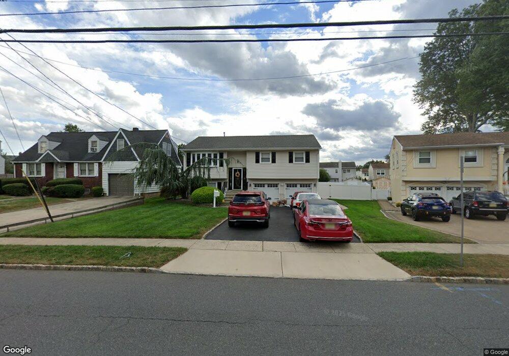
This home is located at 2632 Spruce St, Union, NJ 07083 and is currently estimated at $727,676, approximately $727,676 per square foot. 2632 Spruce St is a home located in Union County with nearby schools including Battle Hill Elementary School, Burnet Middle School, and Union High School.
Ownership History
Date
Name
Owned For
Owner Type
Purchase Details
Closed on
Apr 5, 2005
Sold by
Lopes Joseph
Bought by
Meza Claudia
Current Estimated Value
Home Financials for this Owner
Home Financials are based on the most recent Mortgage that was taken out on this home.
Original Mortgage
$418,500
Outstanding Balance
$216,944
Interest Rate
5.85%
Mortgage Type
Adjustable Rate Mortgage/ARM
Estimated Equity
$510,732
Purchase Details
Closed on
Dec 3, 1999
Sold by
Lopes Joseph and Lopes Celeste R
Bought by
Lopes Joseph and Lopes Celeste R
Home Financials for this Owner
Home Financials are based on the most recent Mortgage that was taken out on this home.
Original Mortgage
$153,000
Interest Rate
7.43%
Purchase Details
Closed on
Oct 5, 1994
Sold by
Lamotta Michael A and Lamotta Martha R
Bought by
Lopes Joseph and Lopes Celeste R
Create a Home Valuation Report for This Property
The Home Valuation Report is an in-depth analysis detailing your home's value as well as a comparison with similar homes in the area
Home Values in the Area
Average Home Value in this Area
Purchase History
| Date | Buyer | Sale Price | Title Company |
|---|---|---|---|
| Meza Claudia | $475,000 | -- | |
| Lopes Joseph | -- | -- | |
| Lopes Joseph | $192,000 | Chicago Title Insurance Co |
Source: Public Records
Mortgage History
| Date | Status | Borrower | Loan Amount |
|---|---|---|---|
| Open | Meza Claudia | $418,500 | |
| Previous Owner | Lopes Joseph | $153,000 |
Source: Public Records
Tax History
| Year | Tax Paid | Tax Assessment Tax Assessment Total Assessment is a certain percentage of the fair market value that is determined by local assessors to be the total taxable value of land and additions on the property. | Land | Improvement |
|---|---|---|---|---|
| 2025 | $12,673 | $56,700 | $23,800 | $32,900 |
| 2024 | $12,286 | $56,700 | $23,800 | $32,900 |
Source: Public Records
Map
Nearby Homes
- 2670 Bancroft Ave
- 933 Douglas Terrace
- 787 Liberty Ave
- 960 Moessner Ave
- 2705 Andrea Rd
- 2469 Macarthur Dr
- 2442 Terrill Rd
- 1065 Liberty Ave
- 6 Bashford Ave Unit 6
- 750 Andover Rd
- 5 Bashford Ave Unit 5
- 14 Bashford Ave Unit 14
- 735 Garden St
- 2785 Larchmont Rd
- 798 Pinewood Rd
- 1042 Battle Hill Terrace
- 909 Garden St
- 2659 Hawthorne Ave
- 2620 Eleanor Terrace
- 105 Battle Hill Ave
Your Personal Tour Guide
Ask me questions while you tour the home.