2633 Highway 73 Iron Station, NC 28080
Estimated Value: $522,000 - $625,000
3
Beds
2
Baths
1,926
Sq Ft
$300/Sq Ft
Est. Value
About This Home
This home is located at 2633 Highway 73, Iron Station, NC 28080 and is currently estimated at $577,672, approximately $299 per square foot. 2633 Highway 73 is a home located in Lincoln County with nearby schools including Iron Station Elementary School, East Lincoln Middle School, and East Lincoln High School.
Ownership History
Date
Name
Owned For
Owner Type
Purchase Details
Closed on
Sep 20, 2024
Sold by
Wright Jimmy S and Wright Gena H
Bought by
Wright Lindsy Kirstin
Current Estimated Value
Purchase Details
Closed on
Apr 10, 2000
Bought by
Wright Jimmy Scott
Create a Home Valuation Report for This Property
The Home Valuation Report is an in-depth analysis detailing your home's value as well as a comparison with similar homes in the area
Home Values in the Area
Average Home Value in this Area
Purchase History
| Date | Buyer | Sale Price | Title Company |
|---|---|---|---|
| Wright Lindsy Kirstin | -- | None Listed On Document | |
| Wright Jimmy Scott | $29,000 | -- |
Source: Public Records
Tax History Compared to Growth
Tax History
| Year | Tax Paid | Tax Assessment Tax Assessment Total Assessment is a certain percentage of the fair market value that is determined by local assessors to be the total taxable value of land and additions on the property. | Land | Improvement |
|---|---|---|---|---|
| 2025 | $2,924 | $446,170 | $120,369 | $325,801 |
| 2024 | $2,904 | $446,170 | $120,369 | $325,801 |
| 2023 | $2,899 | $446,170 | $120,369 | $325,801 |
| 2022 | $2,153 | $273,885 | $81,681 | $192,204 |
| 2021 | $2,153 | $273,885 | $81,681 | $192,204 |
| 2020 | $1,983 | $273,885 | $81,681 | $192,204 |
| 2019 | $1,928 | $273,885 | $81,681 | $192,204 |
| 2018 | $1,857 | $244,089 | $69,773 | $174,316 |
| 2017 | $1,735 | $244,089 | $69,773 | $174,316 |
| 2016 | $1,735 | $244,089 | $69,773 | $174,316 |
| 2015 | $1,797 | $244,089 | $69,773 | $174,316 |
| 2014 | $1,711 | $235,786 | $72,568 | $163,218 |
Source: Public Records
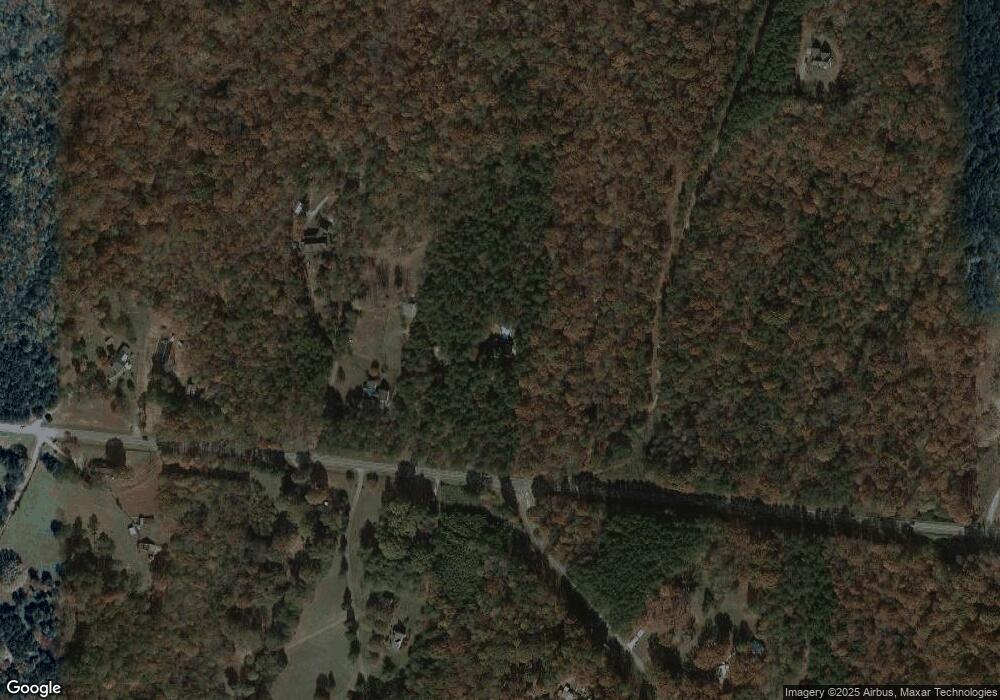
Map
Nearby Homes
- Lot 6 Walnut Ridge Rd Unit 6
- 000 N Carolina 73
- 00 Timber Rd
- 375 Timber Rd
- 341 Camp Creek Rd
- 132 Huncoat Hollow Ln
- 1894 N Carolina 73
- 5045 Amity Ln Unit 12
- 1011 Lester Trail
- 429 Link Dr
- 812 Trinity Ln
- 1279 Craig Dr
- 1076 Furnace Rd
- 3960 Orchard Rd
- Lot #42 Sardis Ct
- 0 Great Dane Ave Unit CAR4157929
- 5039 Penn Rd
- 3132 Fox Den Cir
- 0 Wolf Rd Unit 8
- 25 Planters Row Rd
- 2626 Highway 73
- 121 Mossy Rock Trail
- 2590 Nc 73 Hwy
- 4654 Reinhardt Cir
- 189 Fea Ln
- 4605 Rye Ct
- 4623 Rye Ct
- 4687 Reinhardt Cir
- 4600 Rye Ct
- 1002 Secretariat Ct
- 2551 Nc 73 Hwy
- 2524 Highway 73
- 4643 Rye Ct
- 230 Destiny Way
- 4585 Barley Ct
- 242 Old Barn Rd
- 258 Old Barn Rd
- 4723 Reinhardt Cir
- 302 Mossy Rock Trail
- 196 Fea Ln