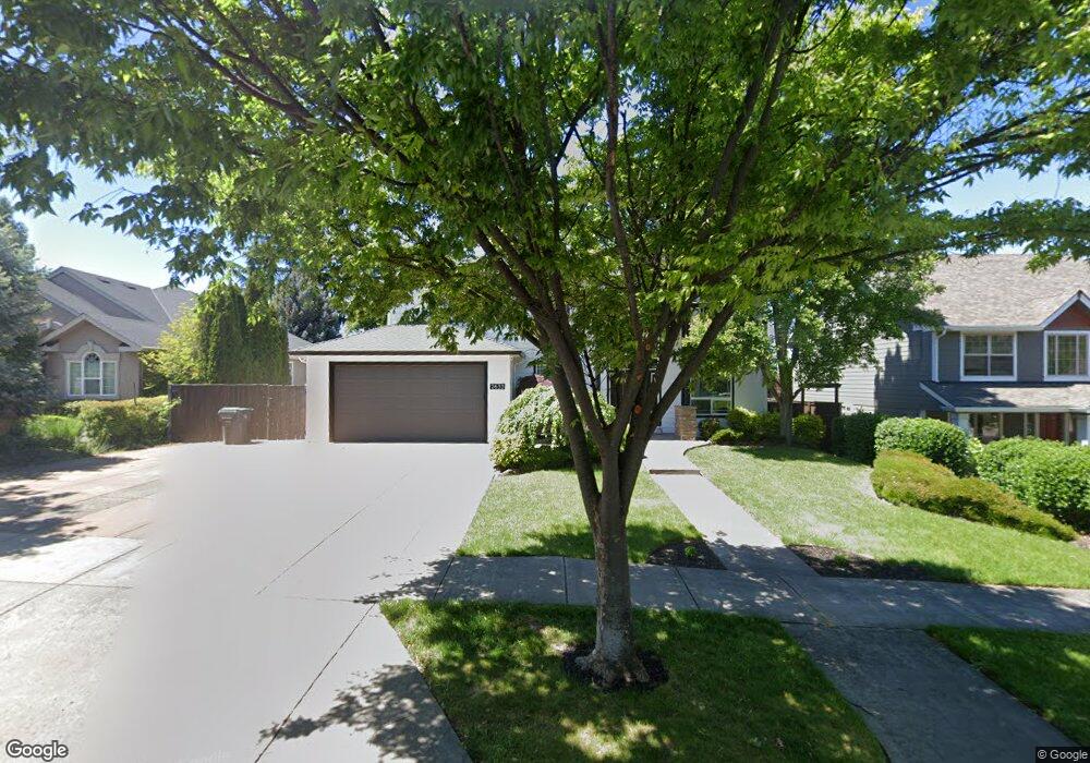
2633 Kerrisdale Ridge Dr Medford, OR 97504
Estimated Value: $722,283 - $843,000
5
Beds
4
Baths
3,380
Sq Ft
$235/Sq Ft
Est. Value
About This Home
This home is located at 2633 Kerrisdale Ridge Dr, Medford, OR 97504 and is currently estimated at $793,321, approximately $234 per square foot. 2633 Kerrisdale Ridge Dr is a home located in Jackson County with nearby schools including Lone Pine Elementary School, Hedrick Middle School, and North Medford High School.
Ownership History
Date
Name
Owned For
Owner Type
Purchase Details
Closed on
Jul 31, 2020
Sold by
Major Gregory D and Major Debra K
Bought by
Kleker Robert Alan and Kleker Karline Kay
Current Estimated Value
Home Financials for this Owner
Home Financials are based on the most recent Mortgage that was taken out on this home.
Original Mortgage
$425,000
Outstanding Balance
$377,701
Interest Rate
3.1%
Mortgage Type
New Conventional
Estimated Equity
$415,620
Purchase Details
Closed on
Mar 9, 2006
Sold by
Major Gregory D and Major Debra K
Bought by
Major Gregory D and Major Debra K
Home Financials for this Owner
Home Financials are based on the most recent Mortgage that was taken out on this home.
Original Mortgage
$354,500
Interest Rate
6.08%
Mortgage Type
New Conventional
Create a Home Valuation Report for This Property
The Home Valuation Report is an in-depth analysis detailing your home's value as well as a comparison with similar homes in the area
Home Values in the Area
Average Home Value in this Area
Purchase History
| Date | Buyer | Sale Price | Title Company |
|---|---|---|---|
| Kleker Robert Alan | $615,000 | First American | |
| Major Gregory D | -- | Lawyers Title Ins |
Source: Public Records
Mortgage History
| Date | Status | Borrower | Loan Amount |
|---|---|---|---|
| Open | Kleker Robert Alan | $425,000 | |
| Previous Owner | Major Gregory D | $354,500 |
Source: Public Records
Tax History Compared to Growth
Tax History
| Year | Tax Paid | Tax Assessment Tax Assessment Total Assessment is a certain percentage of the fair market value that is determined by local assessors to be the total taxable value of land and additions on the property. | Land | Improvement |
|---|---|---|---|---|
| 2025 | $6,767 | $466,610 | $109,960 | $356,650 |
| 2024 | $6,767 | $453,020 | $106,760 | $346,260 |
| 2023 | $6,560 | $439,830 | $103,640 | $336,190 |
| 2022 | $6,400 | $439,830 | $103,640 | $336,190 |
| 2021 | $6,234 | $427,020 | $100,620 | $326,400 |
| 2020 | $6,102 | $414,590 | $97,690 | $316,900 |
| 2019 | $5,958 | $390,800 | $92,090 | $298,710 |
| 2018 | $5,805 | $379,420 | $89,400 | $290,020 |
| 2017 | $5,701 | $379,420 | $89,400 | $290,020 |
| 2016 | $5,738 | $357,650 | $84,260 | $273,390 |
| 2015 | $5,515 | $357,650 | $84,260 | $273,390 |
| 2014 | $5,418 | $337,130 | $79,420 | $257,710 |
Source: Public Records
Map
Nearby Homes
- 3228 Auburn Way
- 3079 Sycamore Way
- 1501 Brookdale Ave
- 2777 Roberts Rd
- 1460 Brookdale Ave
- 1928 Hannah Ln
- 1876 Inglewood Dr
- 1569 Papago Dr
- 2857 Caldera Ln
- 2961 Amblegreen Dr
- 1813 Cascadia Cir
- 1841 Cascadia Cir
- 3317 Tree Top Dr
- 1277 Gardendale Ave
- 2752 Pronghorn Ln
- 3268 Sky Way
- 3290 Sky Way
- 3303 Sky Way
- 1089 Brookdale Ave
- 1224 N Modoc Ave Unit 57
- 2627 Kerrisdale Ridge Dr
- 2639 Kerrisdale Ridge Dr
- 1790 Inverness Dr
- 1808 Inverness Dr
- 2645 Kerrisdale Ridge Dr
- 1826 Inverness Dr
- 2630 Kerrisdale Ridge Dr
- 1772 Inverness Dr
- 2636 Kerrisdale Ridge Dr
- 2651 Kerrisdale Ridge Dr
- 2624 Kerrisdale Ridge Dr
- 1844 Inverness Dr
- 3091 Lone Pine Rd
- 1754 Inverness Dr
- 2642 Kerrisdale Ridge Dr
- 3117 Lone Pine Rd
- 2618 Kerrisdale Ridge Dr
- 2615 Kerrisdale Ridge Dr
- 2657 Kerrisdale Ridge Dr
- 1862 Inverness Dr