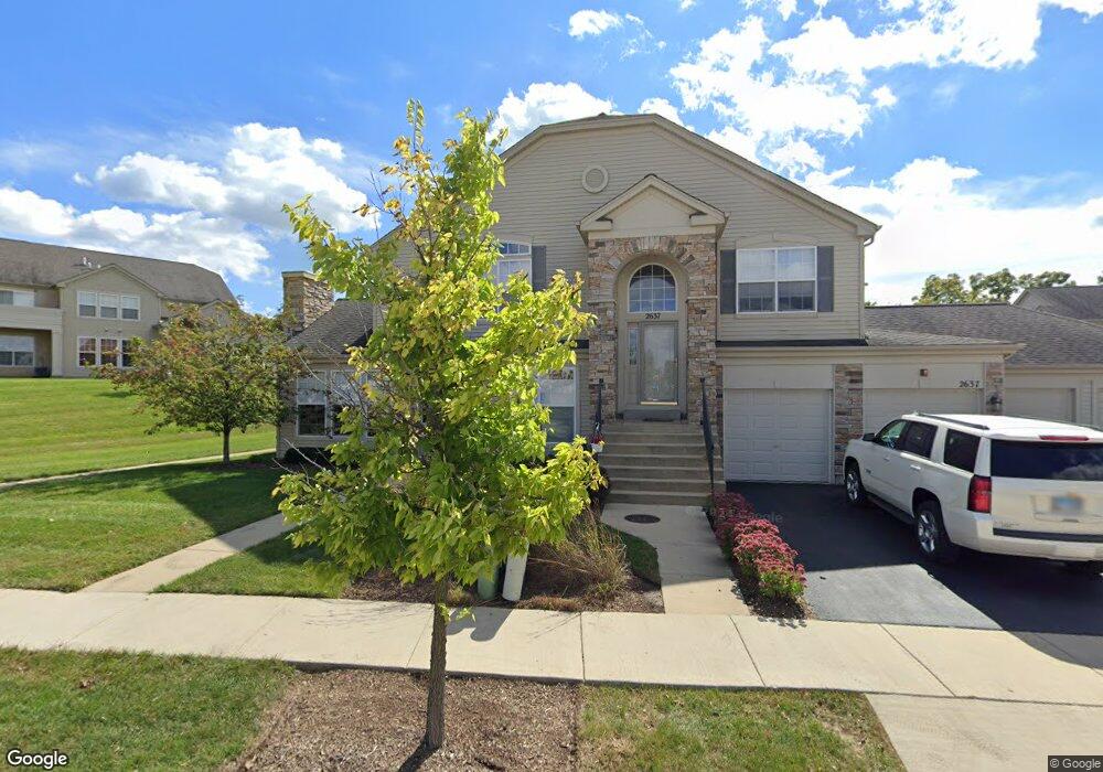
2633 Maple Cir Unit 2 West Dundee, IL 60118
Estimated Value: $344,661 - $370,000
2
Beds
--
Bath
2,358
Sq Ft
$152/Sq Ft
Est. Value
About This Home
This home is located at 2633 Maple Cir Unit 2, West Dundee, IL 60118 and is currently estimated at $357,915, approximately $151 per square foot. 2633 Maple Cir Unit 2 is a home located in Kane County with nearby schools including Dundee Highlands Elementary School, Dundee Middle School, and West Prairie Middle School.
Ownership History
Date
Name
Owned For
Owner Type
Purchase Details
Closed on
Nov 11, 2004
Sold by
Grand Pointe Meadows Llc
Bought by
Labrasca Nicholas A and Labrasca Lola M
Current Estimated Value
Create a Home Valuation Report for This Property
The Home Valuation Report is an in-depth analysis detailing your home's value as well as a comparison with similar homes in the area
Home Values in the Area
Average Home Value in this Area
Purchase History
| Date | Buyer | Sale Price | Title Company |
|---|---|---|---|
| Labrasca Nicholas A | $273,500 | Ticor Title Insurance Co |
Source: Public Records
Tax History Compared to Growth
Tax History
| Year | Tax Paid | Tax Assessment Tax Assessment Total Assessment is a certain percentage of the fair market value that is determined by local assessors to be the total taxable value of land and additions on the property. | Land | Improvement |
|---|---|---|---|---|
| 2024 | $6,397 | $94,486 | $8,371 | $86,115 |
| 2023 | $5,906 | $85,015 | $7,532 | $77,483 |
| 2022 | $6,018 | $79,306 | $7,532 | $71,774 |
| 2021 | $5,772 | $74,881 | $7,112 | $67,769 |
| 2020 | $5,651 | $73,197 | $6,952 | $66,245 |
| 2019 | $5,437 | $69,487 | $6,600 | $62,887 |
| 2018 | $5,222 | $65,749 | $6,469 | $59,280 |
| 2017 | $5,982 | $72,315 | $6,051 | $66,264 |
| 2016 | $6,076 | $70,019 | $5,859 | $64,160 |
| 2015 | -- | $61,113 | $5,490 | $55,623 |
| 2014 | -- | $59,425 | $5,338 | $54,087 |
| 2013 | -- | $63,147 | $5,501 | $57,646 |
Source: Public Records
Map
Nearby Homes
- 36W461 Binnie Rd
- 36W340 Huntley Rd
- 1601 Higgins Rd
- 36W690 Winding Trail
- 8022 Sierra Woods Ln Unit 8022
- 1715 W Main St
- 2742 Connolly Ln
- 6850 Huntley Rd
- lot 009 Huntley Rd
- Marianne Plan at Hickory Glen
- Charlotte Plan at Hickory Glen
- 812 Lindsay Ln
- 822 Lindsay Ln
- 814 Lindsay Ln
- 816 Lindsay Ln
- 813 Lindsay Ln
- 825 Lindsay Ln
- 818 Lindsay Ln
- 1023 Shagbark Ln
- 1031 Shagbark Ln
- 2635 Maple Cir
- 2637 Maple Cir Unit 4
- 2651 Maple Cir Unit 1
- 2655 Maple Cir Unit 3
- 2653 Maple Cir Unit 2
- 2657 Maple Cir Unit 4
- 2655 Maple Cir Unit 2655
- 2597 Oak Dr Unit 3
- 2599 Oak Dr Unit 4
- 2616 Maple Cir Unit 3
- 2593 Oak Dr Unit 1
- 2593 Oak Dr Unit 2593
- 2595 Oak Dr Unit 2
- 2614 Maple Cir Unit 2
- 2612 Maple Cir Unit 1
- 1454 Oak Dr
- 2585 Oak Dr Unit 3
- 2583 Oak Dr Unit 2
- 2587 Oak Dr Unit 4
- 2581 Oak Dr Unit 1