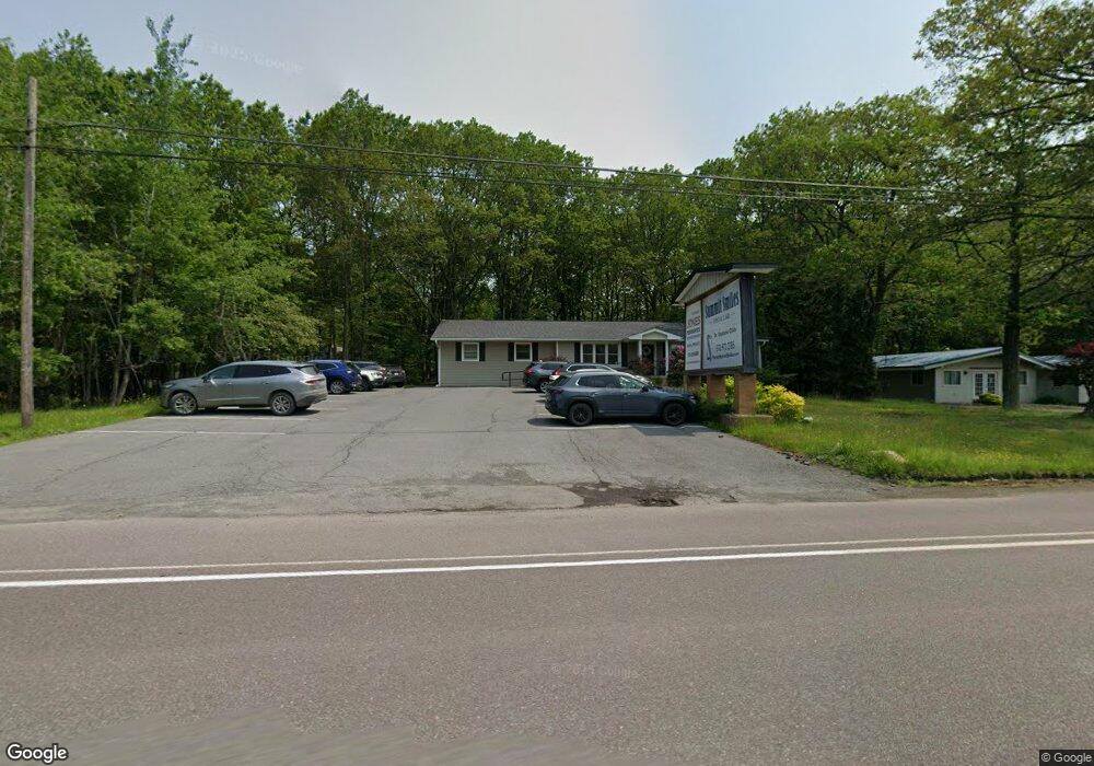
2633 Route 940 Pocono Summit, PA 18346
Estimated Value: $486,555
--
Bed
1
Bath
1,247
Sq Ft
$390/Sq Ft
Est. Value
About This Home
This home is located at 2633 Route 940, Pocono Summit, PA 18346 and is currently estimated at $486,555, approximately $390 per square foot. 2633 Route 940 is a home located in Monroe County with nearby schools including Clear Run Intermediate School, Pocono Mountain West Junior High School, and Pocono Mountain West High School.
Ownership History
Date
Name
Owned For
Owner Type
Purchase Details
Closed on
Jan 22, 2018
Sold by
Summit Holding Company
Bought by
Summit Smiles Real Estate Inc
Current Estimated Value
Home Financials for this Owner
Home Financials are based on the most recent Mortgage that was taken out on this home.
Original Mortgage
$198,500
Interest Rate
4.4%
Mortgage Type
Commercial
Purchase Details
Closed on
Aug 28, 2000
Bought by
Summit Holding Company
Create a Home Valuation Report for This Property
The Home Valuation Report is an in-depth analysis detailing your home's value as well as a comparison with similar homes in the area
Home Values in the Area
Average Home Value in this Area
Purchase History
| Date | Buyer | Sale Price | Title Company |
|---|---|---|---|
| Summit Smiles Real Estate Inc | $235,000 | None Available | |
| Summit Holding Company | -- | -- |
Source: Public Records
Mortgage History
| Date | Status | Borrower | Loan Amount |
|---|---|---|---|
| Previous Owner | Summit Smiles Real Estate Inc | $198,500 |
Source: Public Records
Tax History Compared to Growth
Tax History
| Year | Tax Paid | Tax Assessment Tax Assessment Total Assessment is a certain percentage of the fair market value that is determined by local assessors to be the total taxable value of land and additions on the property. | Land | Improvement |
|---|---|---|---|---|
| 2025 | $1,857 | $232,870 | $97,500 | $135,370 |
| 2024 | $1,508 | $232,870 | $97,500 | $135,370 |
| 2023 | $5,921 | $232,870 | $97,500 | $135,370 |
| 2022 | $5,839 | $232,870 | $97,500 | $135,370 |
| 2021 | $5,839 | $232,870 | $97,500 | $135,370 |
| 2020 | $5,839 | $232,870 | $97,500 | $135,370 |
| 2019 | $4,517 | $26,300 | $6,870 | $19,430 |
| 2018 | $4,517 | $26,300 | $6,870 | $19,430 |
| 2017 | $4,569 | $26,300 | $6,870 | $19,430 |
| 2016 | $958 | $26,300 | $6,870 | $19,430 |
| 2015 | -- | $26,300 | $6,870 | $19,430 |
| 2014 | -- | $26,300 | $6,870 | $19,430 |
Source: Public Records
Map
Nearby Homes
- 3124 Fern Rd
- Lot 1010 Fern Rd
- 623 Laurel Rd
- Lot 624 Laurel Rd
- Lot 623 Laurel Rd
- 5120 Pine Tree Rd Unit 808,809
- 6298 Laurel Rd Unit 1102
- 1209 Shadblow Rd
- 6330 Laurel Rd
- 0 Stillwater Dr Unit PAMR2004354
- 624 Laurel Rd
- 3222 Beech Ridge Dr
- Lot 2 Tamarack Terrace
- 1162 Colt Ln
- 2917 Long Pond Rd
- 272 Stillwater Dr
- 1146 Colt Ln
- 363 Sidney Ave
- 427 Stillwater Dr
- 3230 Red Run Rd