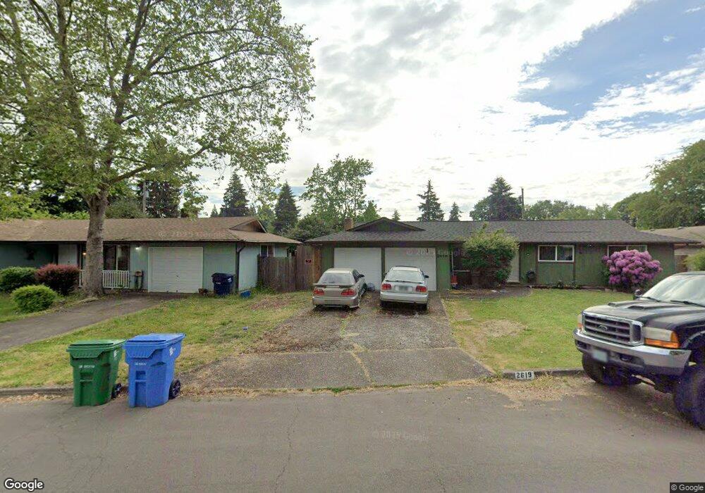
2633 York St Eugene, OR 97404
Santa Clara NeighborhoodEstimated Value: $327,000 - $393,000
3
Beds
1
Bath
1,020
Sq Ft
$350/Sq Ft
Est. Value
About This Home
This home is located at 2633 York St, Eugene, OR 97404 and is currently estimated at $356,628, approximately $349 per square foot. 2633 York St is a home located in Lane County with nearby schools including Spring Creek Elementary School, Madison Middle School, and North Eugene High School.
Ownership History
Date
Name
Owned For
Owner Type
Purchase Details
Closed on
Dec 5, 2003
Sold by
Descutner Brian D and Descutner Trina M
Bought by
Deal Denise A
Current Estimated Value
Home Financials for this Owner
Home Financials are based on the most recent Mortgage that was taken out on this home.
Original Mortgage
$118,146
Outstanding Balance
$54,035
Interest Rate
5.92%
Mortgage Type
FHA
Estimated Equity
$302,593
Purchase Details
Closed on
May 10, 2001
Sold by
Imc Mtg Company Lp
Bought by
Descutner Brian D and Descutner Trina M
Home Financials for this Owner
Home Financials are based on the most recent Mortgage that was taken out on this home.
Original Mortgage
$70,400
Interest Rate
7.03%
Purchase Details
Closed on
Dec 20, 2000
Sold by
Barry Thompson
Bought by
Imc Mtg Company Lp
Create a Home Valuation Report for This Property
The Home Valuation Report is an in-depth analysis detailing your home's value as well as a comparison with similar homes in the area
Home Values in the Area
Average Home Value in this Area
Purchase History
| Date | Buyer | Sale Price | Title Company |
|---|---|---|---|
| Deal Denise A | $120,000 | Fidelity Natl Title Co Of Or | |
| Descutner Brian D | $88,000 | Western Pioneer Title Co | |
| Imc Mtg Company Lp | $78,000 | Evergreen Land Title Co |
Source: Public Records
Mortgage History
| Date | Status | Borrower | Loan Amount |
|---|---|---|---|
| Open | Deal Denise A | $118,146 | |
| Previous Owner | Descutner Brian D | $70,400 |
Source: Public Records
Tax History
| Year | Tax Paid | Tax Assessment Tax Assessment Total Assessment is a certain percentage of the fair market value that is determined by local assessors to be the total taxable value of land and additions on the property. | Land | Improvement |
|---|---|---|---|---|
| 2025 | $2,380 | $185,959 | -- | -- |
| 2024 | $2,368 | $180,543 | -- | -- |
| 2023 | $2,368 | $175,285 | $0 | $0 |
| 2022 | $2,225 | $170,180 | $0 | $0 |
| 2021 | $2,042 | $165,224 | $0 | $0 |
| 2020 | $2,080 | $160,412 | $0 | $0 |
| 2019 | $1,999 | $155,740 | $0 | $0 |
| 2018 | $1,802 | $146,800 | $0 | $0 |
| 2017 | $1,654 | $146,800 | $0 | $0 |
| 2016 | $1,544 | $142,524 | $0 | $0 |
| 2015 | $1,489 | $138,373 | $0 | $0 |
| 2014 | $1,391 | $134,343 | $0 | $0 |
Source: Public Records
Map
Nearby Homes
- 2563 York St
- 2721 La Darrah St
- 2740 Stark St
- 349 Irving Rd
- 2937 Stark St
- 303 Lenore Loop
- 2488 Northampton
- 200 Irving Rd
- 835 Bobolink Ave
- 215 Jonquil Ave
- 2439 Quince St
- 401 Sterling Dr
- 193 Santa Clara Ave
- 2987 Dry Creek Rd
- 2484 Crowther Dr
- 2610 Crowther Dr
- 2580 Crowther Dr
- 2931 Shelby Way
- 1384 David Ave
- 1755 Brentwood Ave
Your Personal Tour Guide
Ask me questions while you tour the home.