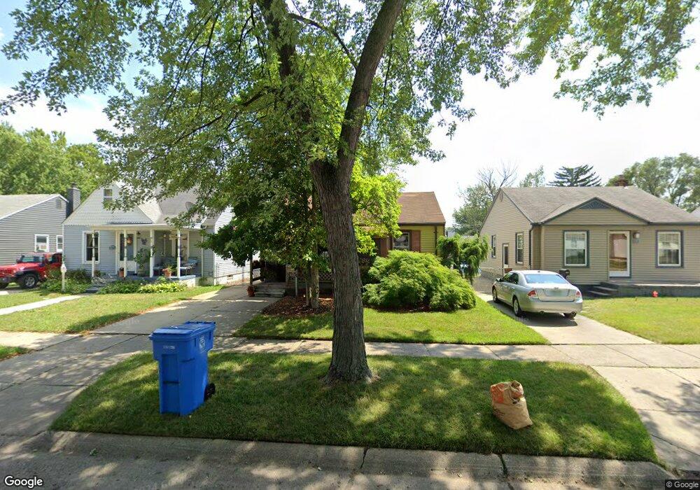
26333 Pennie St Dearborn Heights, MI 48125
Estimated Value: $112,000 - $133,000
--
Bed
1
Bath
696
Sq Ft
$174/Sq Ft
Est. Value
About This Home
This home is located at 26333 Pennie St, Dearborn Heights, MI 48125 and is currently estimated at $120,805, approximately $173 per square foot. 26333 Pennie St is a home located in Wayne County with nearby schools including Quest Charter Academy, West Village Academy, and Peterson-Warren Academy.
Ownership History
Date
Name
Owned For
Owner Type
Purchase Details
Closed on
Dec 31, 2020
Sold by
Buzguta Miriam
Bought by
Bain Robert
Current Estimated Value
Home Financials for this Owner
Home Financials are based on the most recent Mortgage that was taken out on this home.
Original Mortgage
$56,000
Outstanding Balance
$31,745
Interest Rate
2.71%
Mortgage Type
New Conventional
Estimated Equity
$89,060
Purchase Details
Closed on
Aug 23, 2019
Sold by
Wojtylko Ralph W and Wojtylko Rena A
Bought by
Buzguta Miriam
Create a Home Valuation Report for This Property
The Home Valuation Report is an in-depth analysis detailing your home's value as well as a comparison with similar homes in the area
Home Values in the Area
Average Home Value in this Area
Purchase History
| Date | Buyer | Sale Price | Title Company |
|---|---|---|---|
| Bain Robert | $70,000 | Visionary Title Agency Llc | |
| Buzguta Miriam | -- | Amrock Inc |
Source: Public Records
Mortgage History
| Date | Status | Borrower | Loan Amount |
|---|---|---|---|
| Open | Bain Robert | $56,000 |
Source: Public Records
Tax History Compared to Growth
Tax History
| Year | Tax Paid | Tax Assessment Tax Assessment Total Assessment is a certain percentage of the fair market value that is determined by local assessors to be the total taxable value of land and additions on the property. | Land | Improvement |
|---|---|---|---|---|
| 2025 | $1,699 | $61,800 | $0 | $0 |
| 2024 | $1,699 | $51,000 | $0 | $0 |
| 2023 | $1,544 | $43,800 | $0 | $0 |
| 2022 | $2,270 | $36,900 | $0 | $0 |
| 2021 | $2,253 | $32,500 | $0 | $0 |
| 2019 | $1,147 | $25,600 | $0 | $0 |
| 2018 | $802 | $24,600 | $0 | $0 |
| 2017 | $631 | $23,900 | $0 | $0 |
| 2016 | $1,092 | $24,300 | $0 | $0 |
| 2015 | $2,250 | $22,500 | $0 | $0 |
| 2013 | $2,430 | $25,400 | $0 | $0 |
| 2010 | -- | $27,100 | $0 | $0 |
Source: Public Records
Map
Nearby Homes
- 26532 Powers Ave
- 26225 McDonald St
- 4863 Glenis St
- 26106 Powers Ave
- 26439 Hopkins St
- 26458 Hopkins St
- 25926 Powers Ave
- 25965 Currier St
- 25895 Annapolis St
- 26159 Stanford St
- 5526 Sylvia St
- 4110 John Daly St
- 26202 Colgate St
- 26773 Colgate St
- 26231 Andover St
- 5970 John Daly St
- 26772 Colgate St
- 25628 Powers Ave
- 5993 John Daly St
- 5961 Marvin St
- 26325 Pennie St
- 26341 Pennie St
- 26349 Pennie St
- 26317 Pennie St
- 26309 Pennie St
- 26357 Pennie St
- 26308 Powers Ave
- 26332 Powers Ave
- 26324 Powers Ave
- 26340 Powers Ave
- 26365 Pennie St
- 26316 Powers Ave
- 26348 Powers Ave
- 26356 Powers Ave
- 26332 Pennie St
- 26340 Pennie St
- 26324 Pennie St
- 26348 Pennie St
- 26316 Pennie St
- 26364 Powers Ave