Estimated Value: $628,000 - $1,477,696
3
Beds
5
Baths
4,243
Sq Ft
$248/Sq Ft
Est. Value
About This Home
This home is located at 2634 Chestnut Grove Rd, King, NC 27021 and is currently estimated at $1,052,848, approximately $248 per square foot. 2634 Chestnut Grove Rd is a home with nearby schools including Mount Olive Elementary School, Springdale Elementary School, and Chestnut Grove Middle.
Ownership History
Date
Name
Owned For
Owner Type
Purchase Details
Closed on
Dec 12, 2014
Sold by
Nelson Arnold G
Bought by
Frosh Derek G and Frosh Jolynn S
Current Estimated Value
Home Financials for this Owner
Home Financials are based on the most recent Mortgage that was taken out on this home.
Original Mortgage
$200,000
Interest Rate
4.02%
Mortgage Type
Seller Take Back
Create a Home Valuation Report for This Property
The Home Valuation Report is an in-depth analysis detailing your home's value as well as a comparison with similar homes in the area
Home Values in the Area
Average Home Value in this Area
Purchase History
| Date | Buyer | Sale Price | Title Company |
|---|---|---|---|
| Frosh Derek G | $249,500 | None Available |
Source: Public Records
Mortgage History
| Date | Status | Borrower | Loan Amount |
|---|---|---|---|
| Closed | Frosh Derek G | $200,000 |
Source: Public Records
Tax History Compared to Growth
Tax History
| Year | Tax Paid | Tax Assessment Tax Assessment Total Assessment is a certain percentage of the fair market value that is determined by local assessors to be the total taxable value of land and additions on the property. | Land | Improvement |
|---|---|---|---|---|
| 2025 | $6,552 | $1,235,700 | $364,500 | $871,200 |
| 2024 | $6,552 | $880,600 | $279,500 | $601,100 |
| 2023 | $5,181 | $880,600 | $279,500 | $601,100 |
| 2022 | $4,641 | $861,600 | $272,500 | $589,100 |
| 2021 | $4,641 | $861,600 | $272,500 | $589,100 |
| 2020 | $4,344 | $800,400 | $249,300 | $551,100 |
| 2019 | $4,344 | $800,400 | $249,300 | $551,100 |
| 2018 | $4,344 | $800,400 | $249,300 | $551,100 |
| 2017 | $264 | $249,300 | $249,300 | $0 |
| 2016 | $264 | $249,300 | $249,300 | $0 |
| 2015 | $262 | $249,300 | $249,300 | $0 |
Source: Public Records
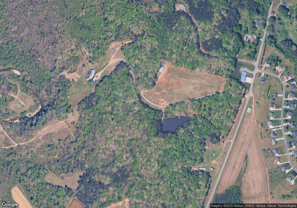
Map
Nearby Homes
- 0 Edwards Farm Rd
- Lot 4 Rock Haven Dr
- Lot 1 Rock Haven Dr
- Lot 5 Rock Haven Dr
- 1880 Chestnut Grove Rd
- 1085 Mystic Ln
- 1.59ac Deerfield Dr
- 1779 Bowen Rd
- 1788 Bowen Rd
- 1671 Bowen Rd
- Lot 9 Brown Rd
- 3-3 Thomas Farm Rd
- 1040 Breezeway Dr
- 104 Whispering Pines Ln
- 1025 Wilburn Ln
- 209 Oakmont Ct
- The Lockwood III Plan at Oakmont
- The Sullivan Plan at Oakmont
- The Colebrooke Plan at Oakmont
- 145 Oakmont Ln
- 1108 Dalton Loop Rd
- 2074 Bowen Rd
- 2576 Chestnut Grove Rd
- 0 Chestnut Grove Rd Unit 141B W97416
- 0 Chestnut Grove Rd
- 1075 Volunteer Rd
- 1010 Sterling Pointe Dr
- 2558 Chestnut Grove Rd
- 1015 Sterling Pointe Dr
- 1182 Sand Hole Rd
- 1070 Sterling Pointe Dr
- 1060 Sterling Pointe Dr
- 1030 Sterling Pointe Dr
- 2070 Bowen Rd
- 1080 Sterling Pointe Dr
- 1145 Sand Hole Rd
- 2559 Chestnut Grove Rd
- 1090 Sterling Pointe Dr
- 1108 Dalton Loop Rd