2634 Nc Highway 242 N Benson, NC 27504
Estimated Value: $439,000 - $592,430
3
Beds
3
Baths
2,099
Sq Ft
$248/Sq Ft
Est. Value
About This Home
This home is located at 2634 Nc Highway 242 N, Benson, NC 27504 and is currently estimated at $520,358, approximately $247 per square foot. 2634 Nc Highway 242 N is a home located in Johnston County with nearby schools including Benson Elementary School, Benson Middle School, and South Johnston High School.
Ownership History
Date
Name
Owned For
Owner Type
Purchase Details
Closed on
Jun 15, 2006
Sold by
Hylton William H and Hylton Darlene O
Bought by
Joyner Robert A and Joyner Andrea K
Current Estimated Value
Home Financials for this Owner
Home Financials are based on the most recent Mortgage that was taken out on this home.
Original Mortgage
$229,600
Outstanding Balance
$134,986
Interest Rate
6.57%
Mortgage Type
Purchase Money Mortgage
Estimated Equity
$385,372
Create a Home Valuation Report for This Property
The Home Valuation Report is an in-depth analysis detailing your home's value as well as a comparison with similar homes in the area
Home Values in the Area
Average Home Value in this Area
Purchase History
| Date | Buyer | Sale Price | Title Company |
|---|---|---|---|
| Joyner Robert A | $292,500 | None Available |
Source: Public Records
Mortgage History
| Date | Status | Borrower | Loan Amount |
|---|---|---|---|
| Open | Joyner Robert A | $229,600 |
Source: Public Records
Tax History Compared to Growth
Tax History
| Year | Tax Paid | Tax Assessment Tax Assessment Total Assessment is a certain percentage of the fair market value that is determined by local assessors to be the total taxable value of land and additions on the property. | Land | Improvement |
|---|---|---|---|---|
| 2025 | $3,372 | $531,100 | $246,640 | $284,460 |
| 2024 | $2,206 | $272,380 | $90,460 | $181,920 |
| 2023 | $2,152 | $272,380 | $90,460 | $181,920 |
| 2022 | $2,261 | $272,380 | $90,460 | $181,920 |
| 2021 | $2,261 | $272,380 | $90,460 | $181,920 |
| 2020 | $2,342 | $272,380 | $90,460 | $181,920 |
| 2019 | $2,342 | $272,380 | $90,460 | $181,920 |
| 2018 | $1,944 | $220,950 | $64,310 | $156,640 |
| 2017 | $1,944 | $220,950 | $64,310 | $156,640 |
| 2016 | $1,944 | $220,950 | $64,310 | $156,640 |
| 2015 | $1,944 | $220,950 | $64,310 | $156,640 |
| 2014 | $1,944 | $220,950 | $64,310 | $156,640 |
Source: Public Records
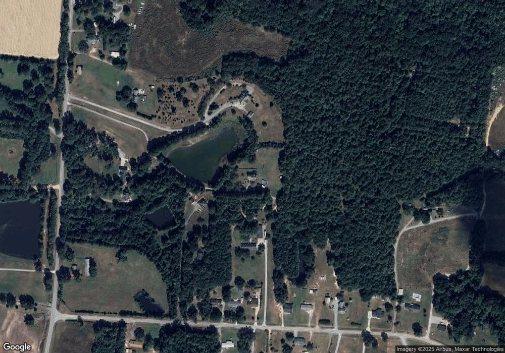
Map
Nearby Homes
- 120 Crystal Place
- Colfax Plan at Weddington
- Davidson Plan at Weddington
- Avery Plan at Weddington
- Asheboro Plan at Weddington
- Cooper Plan at Weddington
- Cypress Plan at Weddington
- Wescott Plan at Weddington
- 166 Tarheel Rd
- 272 White Azalea Way
- 236 White Azalea Way
- 294 White Azalea Way
- 107 Oak Park Dr
- 97 Shadybrook Dr
- 110 Oak Park Dr
- 95 Mapledale Ct
- 99 Mapledale Ct
- 32 Boulder River Trail
- 14 Atlantic Ave
- 1039 N Lincoln St
- 2634 N Carolina 242
- 125 Railroad Rd
- 203 Railroad Rd
- 2646 N Carolina 242
- 2646 Nc Highway 242 N
- 123 Railroad Rd
- 2616 N Nc 242 Hwy
- 201b E Unit 202
- 201b E Unit 201
- 201b E Unit 201
- 201b E Unit 202
- 2578 Nc Highway 242 N
- 197 Railroad Rd
- 183 Railroad Rd
- 161 Railroad Rd
- 2616 Nc Highway 242 N
- 2616 Nc-242
- 235 Railroad Rd
- 0 Nc 210 Hwy Unit 807493
- 0 Nc 210 Hwy Unit TR991668