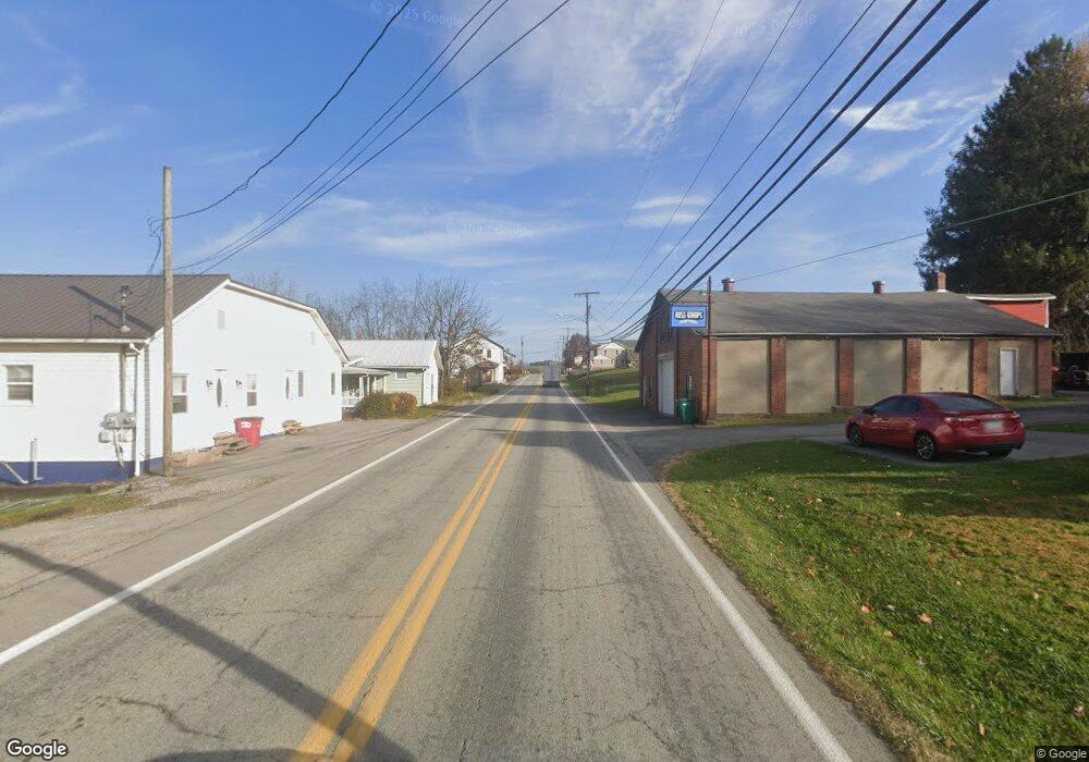
2634 State Route 119 Crabtree, PA 15624
Salem Township NeighborhoodEstimated Value: $131,000 - $142,664
--
Bed
--
Bath
--
Sq Ft
0.28
Acres
About This Home
This home is located at 2634 State Route 119, Crabtree, PA 15624 and is currently estimated at $137,666. 2634 State Route 119 is a home with nearby schools including Greensburg-Salem Middle School and Greensburg-Salem High School.
Ownership History
Date
Name
Owned For
Owner Type
Purchase Details
Closed on
Sep 10, 2025
Sold by
Kost Richard Brian and Kost Renee
Bought by
Sterner Homes Inc and Moore
Current Estimated Value
Purchase Details
Closed on
Jul 21, 2017
Sold by
Pushic John P and Pushic Beth
Bought by
Kost Richard Brian and Kost Renee
Home Financials for this Owner
Home Financials are based on the most recent Mortgage that was taken out on this home.
Original Mortgage
$29,000
Interest Rate
3.89%
Mortgage Type
New Conventional
Purchase Details
Closed on
May 19, 2015
Sold by
Pushic John P
Bought by
Pushic John P and Kost Joanne K
Create a Home Valuation Report for This Property
The Home Valuation Report is an in-depth analysis detailing your home's value as well as a comparison with similar homes in the area
Home Values in the Area
Average Home Value in this Area
Purchase History
| Date | Buyer | Sale Price | Title Company |
|---|---|---|---|
| Sterner Homes Inc | $69,000 | Laurel Settlement Group Llc | |
| Kost Richard Brian | $30,000 | None Available | |
| Pushic John P | -- | None Available |
Source: Public Records
Mortgage History
| Date | Status | Borrower | Loan Amount |
|---|---|---|---|
| Previous Owner | Kost Richard Brian | $29,000 |
Source: Public Records
Tax History Compared to Growth
Tax History
| Year | Tax Paid | Tax Assessment Tax Assessment Total Assessment is a certain percentage of the fair market value that is determined by local assessors to be the total taxable value of land and additions on the property. | Land | Improvement |
|---|---|---|---|---|
| 2025 | $821 | $6,380 | $1,700 | $4,680 |
| 2024 | $805 | $6,380 | $1,700 | $4,680 |
| 2023 | $761 | $6,380 | $1,700 | $4,680 |
| 2022 | $761 | $6,380 | $1,700 | $4,680 |
| 2021 | $761 | $6,380 | $1,700 | $4,680 |
| 2020 | $761 | $6,380 | $1,700 | $4,680 |
| 2019 | $748 | $6,380 | $1,700 | $4,680 |
| 2018 | $748 | $6,380 | $1,700 | $4,680 |
| 2017 | $741 | $6,380 | $1,700 | $4,680 |
| 2016 | $711 | $6,380 | $1,700 | $4,680 |
| 2015 | $711 | $6,380 | $1,700 | $4,680 |
| 2014 | $703 | $6,380 | $1,700 | $4,680 |
Source: Public Records
Map
Nearby Homes
- 2634 U S 119
- 310 Bungalow Rd
- 553 Steel Ave
- 555 Steel Ave
- 162 Front St
- 1222 Bellfield Ct
- 2039 Totteridge Dr
- 2099 Totteridge Dr
- 117 White Thorn Rd
- 577 Bovard Luxor Rd
- 8113 State Route 22
- 275 Twin Lakes Rd
- 659 Alexander Rd
- 603 Forbes Trail Rd
- 229 Shaw Ct
- Lot 17/18 Tanager
- Lot 5 New House Rd
- 329 Price St
- 470 Donohoe Rd
- 1118 Sandstone Rd
- 2634 Pa 119
- 2630 State Route 119
- 2631 State Route 119
- 2653 State Route 119
- 2643 Main St
- 2624 State Route 119
- 315 Roosevelt Dr
- 211 Roosevelt Way
- 217 Roosevelt Way
- 119 Off Rte
- 2650 State Route 119
- 2617 State Route 119
- 312 Kennedy St
- 2659 State Route 119
- 228 Kennedy St
- 193 Roosevelt Way
- 224 Kennedy St
- 2611 State Route 119
- 318 Kennedy St
- 239 Kennedy St