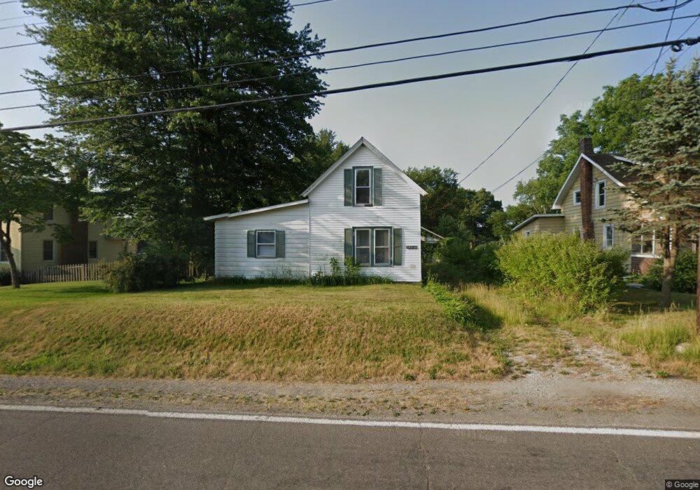
26340 Edison Rd South Bend, IN 46628
Estimated Value: $159,000 - $183,000
3
Beds
1
Bath
1,544
Sq Ft
$113/Sq Ft
Est. Value
About This Home
This home is located at 26340 Edison Rd, South Bend, IN 46628 and is currently estimated at $175,141, approximately $113 per square foot. 26340 Edison Rd is a home located in St. Joseph County with nearby schools including Paton-Churdan Elementary School, Warren Elementary School, and Clay Intermediate Center.
Ownership History
Date
Name
Owned For
Owner Type
Purchase Details
Closed on
Mar 27, 2009
Sold by
U S Bank National Association
Bought by
Kusbach Paul C
Current Estimated Value
Purchase Details
Closed on
Dec 18, 2008
Sold by
Harner Chris
Bought by
Wells Fargo Bank Na
Purchase Details
Closed on
Nov 18, 2008
Sold by
Wells Fargo Bank Na
Bought by
Us Bank National Association
Purchase Details
Closed on
Jan 19, 2006
Sold by
Taddeo Peter T and Allen Nick G
Bought by
Harner Chris
Home Financials for this Owner
Home Financials are based on the most recent Mortgage that was taken out on this home.
Original Mortgage
$63,000
Interest Rate
6.37%
Mortgage Type
New Conventional
Purchase Details
Closed on
Sep 8, 2005
Sold by
Hardman Richard A and Hardman Tracey J
Bought by
Taddeo Peter T and Allen Nick G
Create a Home Valuation Report for This Property
The Home Valuation Report is an in-depth analysis detailing your home's value as well as a comparison with similar homes in the area
Home Values in the Area
Average Home Value in this Area
Purchase History
| Date | Buyer | Sale Price | Title Company |
|---|---|---|---|
| Kusbach Paul C | -- | Meridian Title Corp | |
| Wells Fargo Bank Na | $58,500 | None Available | |
| Us Bank National Association | -- | None Available | |
| Harner Chris | -- | None Available | |
| Taddeo Peter T | -- | None Available |
Source: Public Records
Mortgage History
| Date | Status | Borrower | Loan Amount |
|---|---|---|---|
| Previous Owner | Harner Chris | $63,000 |
Source: Public Records
Tax History Compared to Growth
Tax History
| Year | Tax Paid | Tax Assessment Tax Assessment Total Assessment is a certain percentage of the fair market value that is determined by local assessors to be the total taxable value of land and additions on the property. | Land | Improvement |
|---|---|---|---|---|
| 2024 | $3,053 | $79,200 | $16,900 | $62,300 |
| 2023 | $1,910 | $79,600 | $16,900 | $62,700 |
| 2022 | $1,910 | $79,600 | $16,900 | $62,700 |
| 2021 | $1,694 | $66,500 | $9,000 | $57,500 |
| 2020 | $1,694 | $66,500 | $9,000 | $57,500 |
| 2019 | $1,378 | $66,500 | $9,000 | $57,500 |
| 2018 | $1,584 | $66,500 | $9,000 | $57,500 |
| 2017 | $1,600 | $65,100 | $9,000 | $56,100 |
| 2016 | $1,710 | $65,600 | $9,000 | $56,600 |
| 2014 | $1,642 | $64,700 | $9,000 | $55,700 |
Source: Public Records
Map
Nearby Homes
- 54962 Quince Rd
- 54483 Whitesell Dr
- 54520 Norwood Dr
- 26366 Hummingbird Rd
- 54492 Avalon Dr
- 55629 Cardinal Dr
- 0 Lakewood Dr
- 25849 Kenwood Dr
- 54221 Longwood Dr
- 26427 Evans Dr
- 25700 Lakewood Dr
- 54000 Block Whitesell Dr
- VL Kenmore Dr
- 26896 Mc Arthur Ct
- 26896 Mcarthur Ct
- 26882 Marshall Dr N
- Integrity 1605 Plan at West Pointe Estates
- Integrity 2060 Plan at West Pointe Estates
- Integrity 2280 Plan at West Pointe Estates
- Elements 1680 Plan at West Pointe Estates
- 26350 Edison Rd
- 26326 Edison Rd
- 26368 Edison Rd
- 26353 Edison Rd
- 26308 Edison Rd
- 26325 Edison Rd
- 26377 Edison Rd
- 26305 Edison Rd
- 26298 Edison Rd
- 26387 Eunice St
- 26299 Eunice St
- 26344 Eunice St
- 26391 Edison Rd
- 26279 Eunice St
- 26300 Eunice St
- 26405 Edison Rd
- 26324 Eunice St
- 26259 Edison Rd
- 26269 Eunice St
- 26419 Edison Rd