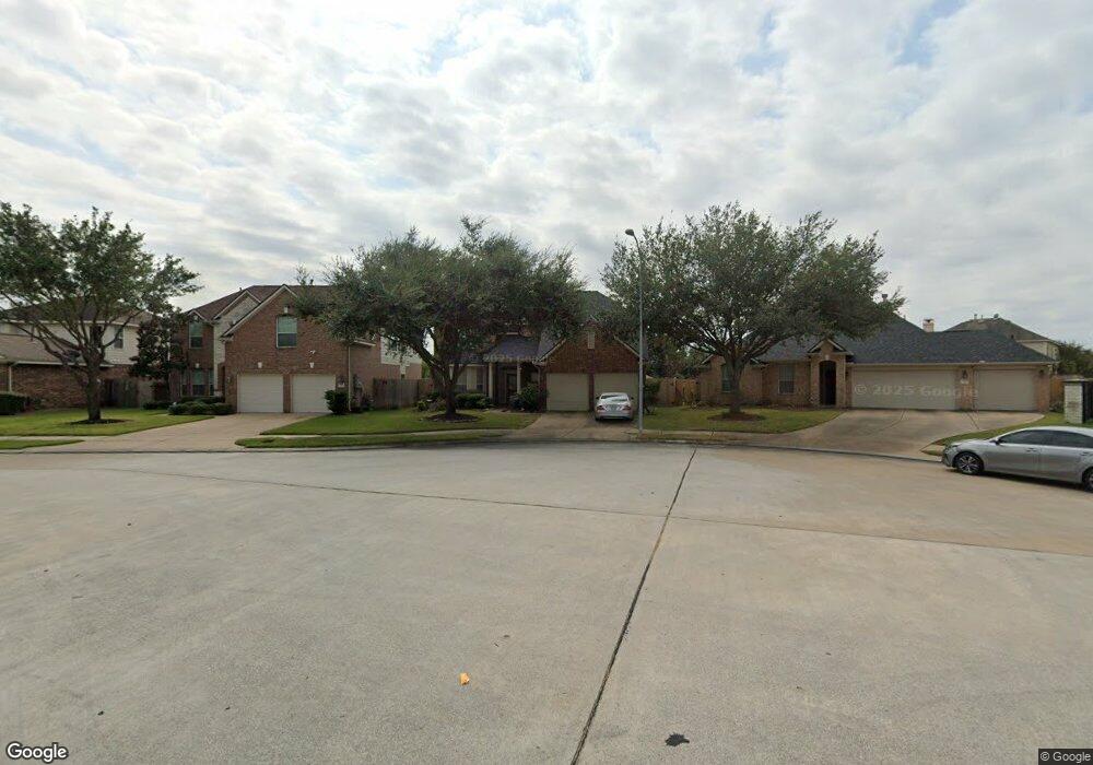
2635 Aspen Tree Ct Houston, TX 77014
Northside NeighborhoodEstimated Value: $297,000 - $324,000
4
Beds
3
Baths
2,563
Sq Ft
$120/Sq Ft
Est. Value
About This Home
This home is located at 2635 Aspen Tree Ct, Houston, TX 77014 and is currently estimated at $307,047, approximately $119 per square foot. 2635 Aspen Tree Ct is a home located in Harris County with nearby schools including Deloras E Thompson Elementary School, Stelle Claughton Middle School, and Westfield High School.
Ownership History
Date
Name
Owned For
Owner Type
Purchase Details
Closed on
Nov 11, 2010
Sold by
Mhi Partnership Ltd
Bought by
Bailey Terry Wayne and Washington Sylvia Ann
Current Estimated Value
Home Financials for this Owner
Home Financials are based on the most recent Mortgage that was taken out on this home.
Original Mortgage
$170,563
Outstanding Balance
$112,535
Interest Rate
4.27%
Mortgage Type
FHA
Estimated Equity
$194,512
Create a Home Valuation Report for This Property
The Home Valuation Report is an in-depth analysis detailing your home's value as well as a comparison with similar homes in the area
Home Values in the Area
Average Home Value in this Area
Purchase History
| Date | Buyer | Sale Price | Title Company |
|---|---|---|---|
| Bailey Terry Wayne | -- | Millennium Title Houston |
Source: Public Records
Mortgage History
| Date | Status | Borrower | Loan Amount |
|---|---|---|---|
| Open | Bailey Terry Wayne | $170,563 |
Source: Public Records
Tax History Compared to Growth
Tax History
| Year | Tax Paid | Tax Assessment Tax Assessment Total Assessment is a certain percentage of the fair market value that is determined by local assessors to be the total taxable value of land and additions on the property. | Land | Improvement |
|---|---|---|---|---|
| 2025 | $6,282 | $295,372 | $51,166 | $244,206 |
| 2024 | $6,282 | $298,425 | $51,166 | $247,259 |
| 2023 | $6,282 | $296,736 | $51,166 | $245,570 |
| 2022 | $6,807 | $261,630 | $30,040 | $231,590 |
| 2021 | $6,636 | $241,270 | $30,040 | $211,230 |
| 2020 | $6,435 | $208,998 | $30,040 | $178,958 |
| 2019 | $6,265 | $196,448 | $30,040 | $166,408 |
| 2018 | $4,946 | $188,782 | $30,040 | $158,742 |
| 2017 | $5,508 | $188,782 | $30,040 | $158,742 |
| 2016 | $5,007 | $167,366 | $30,040 | $137,326 |
| 2015 | $4,249 | $161,695 | $30,040 | $131,655 |
| 2014 | $4,249 | $130,841 | $30,040 | $100,801 |
Source: Public Records
Map
Nearby Homes
- 12606 Riverhill Ct
- 12638 Riverhill Ct
- 2230 Laurel Branch Way
- 2223 Laurel Branch Way
- 5519 Handlewood Ln
- 12415 Silversmine Dr
- 2230 Laurel Oaks Dr
- 12818 Schiller Park Ln
- 12330 Garden Laurel Ln
- 12511 Silverwood Sands Ct
- 2315 Cobbdale Ln
- 13102 Candlewood Glen Ln
- 12515 Silverwood Springs Place
- 13231 Barrow Point Ln
- 12638 Silver Winter Trail
- 2214 Brimmage Dr
- 1727 Plumwood Dr
- 12306 Wright Oaks Dr
- 2907 Silverchase Meadows Dr
- 12231 Auronia Dr
- 2631 Aspen Tree Ct
- 2639 Aspen Tree Ct
- 12626 Riverhill Ct
- 2627 Aspen Tree Ct
- 12630 Riverhill Ct
- 12634 Riverhill Ct
- 12622 Riverhill Ct
- 2643 Aspen Tree Ct
- 2623 Aspen Tree Ct
- 2627 Sandlewood Trail Ln
- 2634 Aspen Tree Ct
- 2642 Aspen Tree Ct
- 2638 Aspen Tree Ct
- 2623 Sandlewood Trail Ln
- 12614 Riverhill Ct
- 2610 Aspen Tree Ct
- 2619 Aspen Tree Ct
- 2619 Sandlewood Trail Ln
- 2615 Sandlewood Trail Ln
- 12610 Riverhill Ct