2635 Burnstone Run Unit 1 Lawrenceville, GA 30044
Gwinnett Place NeighborhoodEstimated Value: $338,000 - $357,000
3
Beds
2
Baths
1,446
Sq Ft
$239/Sq Ft
Est. Value
About This Home
This home is located at 2635 Burnstone Run Unit 1, Lawrenceville, GA 30044 and is currently estimated at $345,565, approximately $238 per square foot. 2635 Burnstone Run Unit 1 is a home located in Gwinnett County with nearby schools including Craig Elementary School, Five Forks Middle School, and Brookwood High School.
Ownership History
Date
Name
Owned For
Owner Type
Purchase Details
Closed on
Feb 18, 1998
Sold by
Richport Properties Inc
Bought by
Mason Cathey M
Current Estimated Value
Home Financials for this Owner
Home Financials are based on the most recent Mortgage that was taken out on this home.
Original Mortgage
$96,950
Outstanding Balance
$17,087
Interest Rate
6.95%
Mortgage Type
New Conventional
Estimated Equity
$328,478
Create a Home Valuation Report for This Property
The Home Valuation Report is an in-depth analysis detailing your home's value as well as a comparison with similar homes in the area
Home Values in the Area
Average Home Value in this Area
Purchase History
| Date | Buyer | Sale Price | Title Company |
|---|---|---|---|
| Mason Cathey M | $100,000 | -- |
Source: Public Records
Mortgage History
| Date | Status | Borrower | Loan Amount |
|---|---|---|---|
| Open | Mason Cathey M | $96,950 |
Source: Public Records
Tax History Compared to Growth
Tax History
| Year | Tax Paid | Tax Assessment Tax Assessment Total Assessment is a certain percentage of the fair market value that is determined by local assessors to be the total taxable value of land and additions on the property. | Land | Improvement |
|---|---|---|---|---|
| 2024 | $785 | $128,240 | $26,120 | $102,120 |
| 2023 | $785 | $116,760 | $24,000 | $92,760 |
| 2022 | $744 | $106,240 | $24,000 | $82,240 |
| 2021 | $2,329 | $78,560 | $17,200 | $61,360 |
| 2020 | $2,346 | $78,560 | $17,200 | $61,360 |
| 2019 | $1,971 | $63,400 | $14,000 | $49,400 |
| 2018 | $2,020 | $63,400 | $14,000 | $49,400 |
| 2016 | $1,749 | $49,880 | $10,400 | $39,480 |
| 2015 | $1,532 | $39,600 | $8,000 | $31,600 |
| 2014 | $1,539 | $39,600 | $8,000 | $31,600 |
Source: Public Records
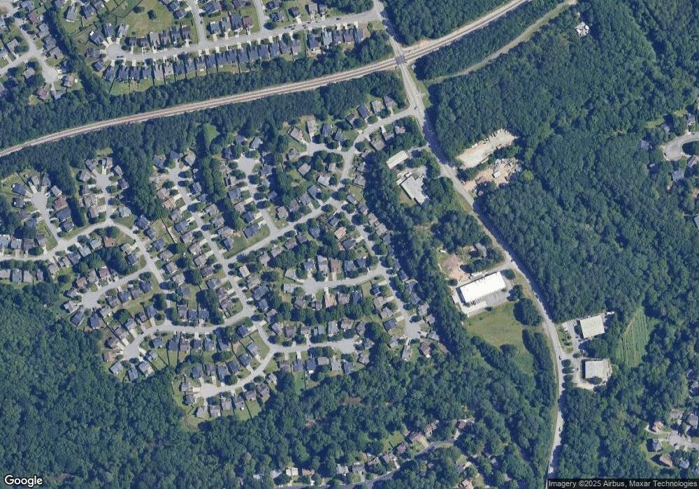
Map
Nearby Homes
- 2493 Barndale Dr
- 280 Hayward Ln Unit 1
- 2575 Kentshire Way
- 2518 Candlewood Way
- 280 Kentshire Place
- 270 Saint Simons Cove
- 305 Melanie Way
- 2220 Laurelton Ln Unit 1
- 176 Oak Green Dr
- 172 Oak Green Dr
- 2122 Riverbirch Ct Unit 1
- 275 Sageglen Rd Unit 2
- 2162 Anconia Cir
- 450 Battersea Dr
- 2532 Gloster Mill Dr SW
- 316 Coopers Pond Dr
- 2615 Burnstone Run Unit 1
- 192 Strawbridge Trace Unit 2
- 2655 Burnstone Run
- 182 Strawbridge Trace Unit 2
- 2605 Burnstone Run Unit 1
- 2605 Burnstone Run Unit 41
- 205 Hayward Ln
- 172 Strawbridge Trace
- 0 Burnstone Run Unit 8701396
- 0 Burnstone Run Unit 7137375
- 0 Burnstone Run Unit 3219489
- 0 Burnstone Run Unit 7177395
- 0 Burnstone Run Unit 7276319
- 0 Burnstone Run
- 0 Strawbridge Trace
- 2630 Burnstone Run
- 2640 Burnstone Run
- 2620 Burnstone Run Unit 1
- 185 Hayward Ln
- 185 Hayward Ln Unit 43