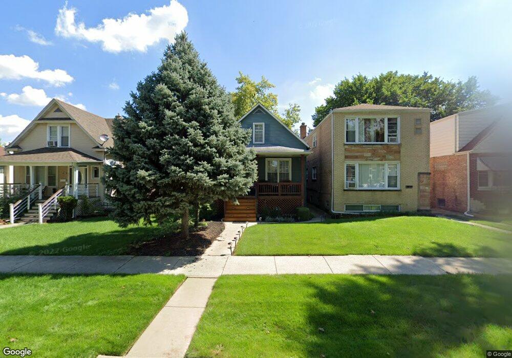
2635 N 74th Ct Elmwood Park, IL 60707
Estimated Value: $328,000 - $415,000
3
Beds
2
Baths
1,269
Sq Ft
$300/Sq Ft
Est. Value
About This Home
This home is located at 2635 N 74th Ct, Elmwood Park, IL 60707 and is currently estimated at $380,144, approximately $299 per square foot. 2635 N 74th Ct is a home located in Cook County with nearby schools including John Mills Elementary School, Elm Middle School, and Elmwood Park High School.
Ownership History
Date
Name
Owned For
Owner Type
Purchase Details
Closed on
Apr 27, 2004
Sold by
Zaragoza Arturo
Bought by
Ramirez Norma and Marrero Nancy
Current Estimated Value
Home Financials for this Owner
Home Financials are based on the most recent Mortgage that was taken out on this home.
Original Mortgage
$235,600
Outstanding Balance
$105,547
Interest Rate
4.87%
Mortgage Type
Unknown
Estimated Equity
$274,597
Purchase Details
Closed on
Oct 31, 2002
Sold by
Lesiak Caroline and Daughenbaugh Caroline C
Bought by
Zaragoza Arturo
Home Financials for this Owner
Home Financials are based on the most recent Mortgage that was taken out on this home.
Original Mortgage
$175,500
Interest Rate
6.1%
Create a Home Valuation Report for This Property
The Home Valuation Report is an in-depth analysis detailing your home's value as well as a comparison with similar homes in the area
Home Values in the Area
Average Home Value in this Area
Purchase History
| Date | Buyer | Sale Price | Title Company |
|---|---|---|---|
| Ramirez Norma | $248,000 | Cti | |
| Zaragoza Arturo | $195,000 | Mercury Title Company Llc |
Source: Public Records
Mortgage History
| Date | Status | Borrower | Loan Amount |
|---|---|---|---|
| Open | Ramirez Norma | $235,600 | |
| Previous Owner | Zaragoza Arturo | $175,500 |
Source: Public Records
Tax History Compared to Growth
Tax History
| Year | Tax Paid | Tax Assessment Tax Assessment Total Assessment is a certain percentage of the fair market value that is determined by local assessors to be the total taxable value of land and additions on the property. | Land | Improvement |
|---|---|---|---|---|
| 2024 | $7,773 | $29,000 | $4,219 | $24,781 |
| 2023 | $7,511 | $29,000 | $4,219 | $24,781 |
| 2022 | $7,511 | $29,000 | $4,219 | $24,781 |
| 2021 | $6,771 | $21,357 | $2,812 | $18,545 |
| 2020 | $6,624 | $21,357 | $2,812 | $18,545 |
| 2019 | $5,975 | $23,917 | $2,812 | $21,105 |
| 2018 | $5,333 | $19,860 | $2,421 | $17,439 |
| 2017 | $5,175 | $19,860 | $2,421 | $17,439 |
| 2016 | $4,916 | $19,860 | $2,421 | $17,439 |
| 2015 | $4,840 | $18,202 | $2,187 | $16,015 |
| 2014 | $4,732 | $18,202 | $2,187 | $16,015 |
| 2013 | $4,599 | $18,202 | $2,187 | $16,015 |
Source: Public Records
Map
Nearby Homes
- 2719 N 74th Ct
- 2637 N 73rd Ct
- 2730 N 74th Ct Unit GW
- 2734 N 74th Ct
- 2716 N 73rd Ave
- 2724 N 73rd Ave
- 39 W Conti Pkwy Unit 1S
- 2521 N 76th Ave Unit 2SW
- 2734 N 72nd Ct
- 2530 N 72nd Ct Unit 2W
- 2709 N 76th Ct
- 2832 N 75th Ave
- 2525 N 72nd Ct Unit 2AN
- 2546 N Harlem Ave Unit GC
- 2513 N 72nd Ct
- 2711 N 77th Ave
- 7428 W Fullerton Ave
- 7611 W Altgeld St Unit 2N
- 2915 N 74th Ave Unit 2
- 7650 W Altgeld St Unit 306
- 2633 N 74th Ct
- 2631 N 74th Ct
- 2631 N 74th Ct Unit 2F
- 2631 N 74th Ct Unit 2R
- 2627 N 74th Ct
- 2625 N 74th Ct
- 2643 N 74th Ct
- 2643 N 74th Ct
- 2647 N 74th Ct
- 2647 N 74th Ct
- 2632 N 74th Ave
- 2634 N 74th Ave
- 2636 N 74th Ave
- 2628 N 74th Ave
- 2626 N 74th Ave
- 2640 N 74th Ave
- 2632 N 74th Ct
- 2630 N 74th Ct
- 2642 N 74th Ave
- 2636 N 74th Ct