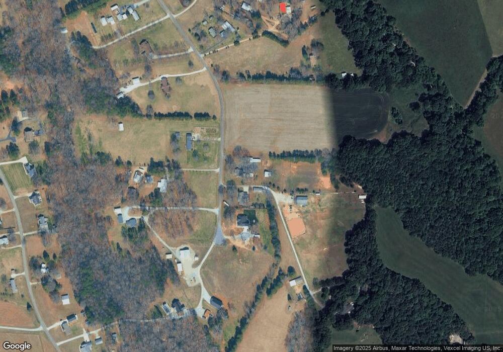
2635 Sloop Rd Mount Ulla, NC 28125
Estimated Value: $226,000 - $468,000
Studio
2
Baths
1,255
Sq Ft
$233/Sq Ft
Est. Value
About This Home
This home is located at 2635 Sloop Rd, Mount Ulla, NC 28125 and is currently estimated at $291,805, approximately $232 per square foot. 2635 Sloop Rd is a home located in Rowan County with nearby schools including Shepherd Elementary School, Lakeshore Middle School, and South Iredell High School.
Ownership History
Date
Name
Owned For
Owner Type
Purchase Details
Closed on
Nov 10, 2020
Sold by
Sloop Bryon Lee
Bought by
Pinkerton Daniel P and Pinkerton Wilma C
Current Estimated Value
Home Financials for this Owner
Home Financials are based on the most recent Mortgage that was taken out on this home.
Original Mortgage
$142,500
Outstanding Balance
$103,148
Interest Rate
2.9%
Mortgage Type
New Conventional
Estimated Equity
$188,657
Purchase Details
Closed on
Oct 15, 2011
Bought by
Sloop Bryon Lee
Purchase Details
Closed on
Oct 19, 2005
Sold by
Bostian Sloop Marvin Gray and Bostian Sloop Mable
Bought by
Sloop Bryon Lee
Create a Home Valuation Report for This Property
The Home Valuation Report is an in-depth analysis detailing your home's value as well as a comparison with similar homes in the area
Purchase History
| Date | Buyer | Sale Price | Title Company |
|---|---|---|---|
| Pinkerton Daniel P | $190,000 | Master Title | |
| Sloop Bryon Lee | -- | -- | |
| Sloop Bryon Lee | -- | -- |
Source: Public Records
Mortgage History
| Date | Status | Borrower | Loan Amount |
|---|---|---|---|
| Open | Pinkerton Daniel P | $142,500 |
Source: Public Records
Tax History Compared to Growth
Tax History
| Year | Tax Paid | Tax Assessment Tax Assessment Total Assessment is a certain percentage of the fair market value that is determined by local assessors to be the total taxable value of land and additions on the property. | Land | Improvement |
|---|---|---|---|---|
| 2025 | $1,154 | $172,184 | $56,639 | $115,545 |
| 2024 | $1,154 | $172,184 | $56,639 | $115,545 |
| 2023 | $1,154 | $172,184 | $56,639 | $115,545 |
| 2022 | $947 | $126,639 | $38,709 | $87,930 |
| 2021 | $921 | $126,639 | $38,709 | $87,930 |
| 2020 | $921 | $126,639 | $38,709 | $87,930 |
| 2019 | $921 | $126,639 | $38,709 | $87,930 |
| 2018 | $702 | $97,267 | $38,708 | $58,559 |
| 2017 | $702 | $97,267 | $38,708 | $58,559 |
| 2016 | $702 | $97,267 | $38,708 | $58,559 |
| 2015 | $712 | $97,267 | $38,708 | $58,559 |
| 2014 | $717 | $101,193 | $38,708 | $62,485 |
Source: Public Records
Map
Nearby Homes
- Townsend Plan at Brownstone Ridge
- Daffodil Plan at Brownstone Ridge
- 130 Kepli Way
- 121 Jentri Way
- 113 Jentri Way
- 114 Jentri Way
- 105 Jentri Way
- 112 Jentri Way
- 1211 Mt Ulla Hwy None
- 105 Cool Creek Ln
- 103 Glenholden Ln
- 109 Pink Orchard Dr
- 1070 Saddle Back Ln
- 1095 Mount Ulla Hwy
- Lot 1 W Park Ave
- 1502 Mount Ulla Hwy
- 241 Forest Walk Way
- 161 Crimson Orchard Dr
- 211 Forest Walk Way
- 00 Browns Rink Dr
