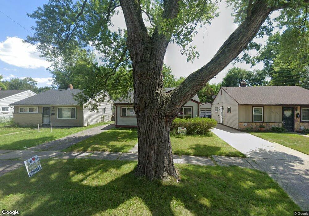
26353 Lehigh St Inkster, MI 48141
Estimated Value: $92,000 - $97,000
--
Bed
--
Bath
952
Sq Ft
$99/Sq Ft
Est. Value
About This Home
This home is located at 26353 Lehigh St, Inkster, MI 48141 and is currently estimated at $94,699, approximately $99 per square foot. 26353 Lehigh St is a home located in Wayne County with nearby schools including West Village Academy, Quest Charter Academy, and Peterson-Warren Academy.
Ownership History
Date
Name
Owned For
Owner Type
Purchase Details
Closed on
Apr 20, 2006
Sold by
Moran Floyd and Moran Katrina
Bought by
Wells Fargo Bank Na
Current Estimated Value
Purchase Details
Closed on
Apr 23, 2004
Sold by
Moran Floyd and Moran Katrina
Bought by
Moran Floyd
Home Financials for this Owner
Home Financials are based on the most recent Mortgage that was taken out on this home.
Original Mortgage
$57,650
Interest Rate
5.5%
Mortgage Type
New Conventional
Create a Home Valuation Report for This Property
The Home Valuation Report is an in-depth analysis detailing your home's value as well as a comparison with similar homes in the area
Home Values in the Area
Average Home Value in this Area
Purchase History
| Date | Buyer | Sale Price | Title Company |
|---|---|---|---|
| Wells Fargo Bank Na | $59,772 | None Available | |
| Moran Floyd | -- | -- |
Source: Public Records
Mortgage History
| Date | Status | Borrower | Loan Amount |
|---|---|---|---|
| Previous Owner | Moran Floyd | $57,650 |
Source: Public Records
Tax History Compared to Growth
Tax History
| Year | Tax Paid | Tax Assessment Tax Assessment Total Assessment is a certain percentage of the fair market value that is determined by local assessors to be the total taxable value of land and additions on the property. | Land | Improvement |
|---|---|---|---|---|
| 2025 | $895 | $39,100 | $0 | $0 |
| 2024 | $895 | $31,600 | $0 | $0 |
| 2023 | $866 | $0 | $0 | $0 |
| 2022 | $1,212 | $20,300 | $0 | $0 |
| 2021 | $492 | $18,400 | $0 | $0 |
| 2020 | $1,232 | $15,600 | $0 | $0 |
| 2019 | $1,187 | $13,500 | $0 | $0 |
| 2018 | $788 | $12,300 | $0 | $0 |
| 2017 | $657 | $11,800 | $0 | $0 |
| 2016 | $1,157 | $12,000 | $0 | $0 |
| 2015 | $1,190 | $11,900 | $0 | $0 |
| 2013 | $1,490 | $14,900 | $0 | $0 |
| 2012 | $964 | $16,400 | $1,700 | $14,700 |
Source: Public Records
Map
Nearby Homes
- 26458 Hopkins St
- 26439 Hopkins St
- 4110 John Daly St
- 26159 Stanford St
- 26773 Colgate St
- 26202 Colgate St
- 26231 Andover St
- 26225 McDonald St
- 4863 Glenis St
- 26860 Andover St
- 26653 Ross St
- 26916 Andover St
- 26532 Powers Ave
- 27022 Colgate St
- 26419 Carlysle St
- 25895 Annapolis St
- 26106 Powers Ave
- 4061 Wellington St
- 25866 Andover St
- 0000 Ross Ross St
- 26345 Lehigh St
- 26361 Lehigh St
- 26405 Lehigh St
- 26337 Lehigh St
- 26413 Lehigh St
- 26327 Lehigh St
- 26421 Lehigh St
- 26330 Hopkins St
- 26342 Hopkins St
- 26315 Lehigh St
- 26334 Hopkins St
- 26352 Lehigh St
- 26344 Lehigh St
- 26320 Hopkins St
- 26360 Lehigh St
- 26429 Lehigh St
- 26336 Lehigh St
- 26404 Lehigh St
- 26412 Lehigh St
- 26310 Hopkins St