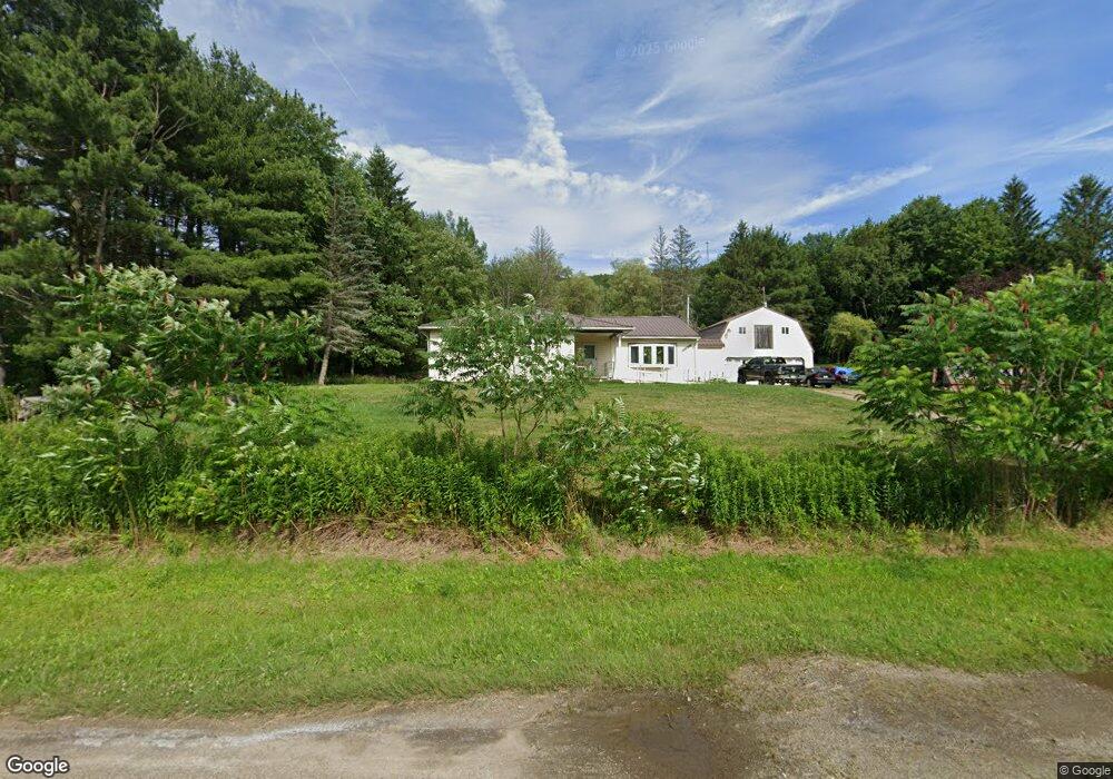
2636 Route 446 Eldred, PA 16731
Estimated Value: $145,963 - $300,000
Studio
--
Bath
2,158
Sq Ft
$97/Sq Ft
Est. Value
About This Home
This home is located at 2636 Route 446, Eldred, PA 16731 and is currently estimated at $209,241, approximately $96 per square foot. 2636 Route 446 is a home located in McKean County with nearby schools including Otto-Eldred Elementary School and Otto-Eldred Junior/Senior High School.
Ownership History
Date
Name
Owned For
Owner Type
Purchase Details
Closed on
Jul 1, 2016
Sold by
Mason Douglas S and Mason Tina L
Bought by
Phillips Donald A
Current Estimated Value
Home Financials for this Owner
Home Financials are based on the most recent Mortgage that was taken out on this home.
Original Mortgage
$158,000
Outstanding Balance
$125,969
Interest Rate
3.54%
Mortgage Type
VA
Estimated Equity
$83,272
Purchase Details
Closed on
Apr 20, 2012
Sold by
Mason Douglas S and Mason Wendy K
Bought by
Mason Douglas S
Create a Home Valuation Report for This Property
The Home Valuation Report is an in-depth analysis detailing your home's value as well as a comparison with similar homes in the area
Purchase History
| Date | Buyer | Sale Price | Title Company |
|---|---|---|---|
| Phillips Donald A | $158,000 | Attorney | |
| Mason Douglas S | -- | None Available |
Source: Public Records
Mortgage History
| Date | Status | Borrower | Loan Amount |
|---|---|---|---|
| Open | Phillips Donald A | $158,000 |
Source: Public Records
Tax History
| Year | Tax Paid | Tax Assessment Tax Assessment Total Assessment is a certain percentage of the fair market value that is determined by local assessors to be the total taxable value of land and additions on the property. | Land | Improvement |
|---|---|---|---|---|
| 2025 | $2,689 | $71,850 | $10,620 | $61,230 |
| 2024 | $2,502 | $71,850 | $10,620 | $61,230 |
| 2023 | $2,542 | $71,850 | $10,620 | $61,230 |
| 2022 | $2,502 | $71,850 | $10,620 | $61,230 |
| 2021 | $2,482 | $71,850 | $10,620 | $61,230 |
| 2020 | $2,482 | $71,850 | $10,620 | $61,230 |
| 2019 | $2,482 | $71,850 | $10,620 | $61,230 |
| 2018 | $23 | $71,850 | $10,620 | $61,230 |
| 2017 | -- | $71,850 | $10,620 | $61,230 |
| 2016 | $1,638 | $53,890 | $10,620 | $43,270 |
| 2015 | $633 | $53,890 | $10,620 | $43,270 |
| 2014 | $633 | $53,890 | $10,620 | $43,270 |
Source: Public Records
Map
Nearby Homes
- 320 Sartwell Rd
- 787 Champlin Hill Rd
- 22 Park Ave
- 12 Edson St
- 47 Edson St
- 33 Edson St
- 53 Edson St
- 26 King St
- 22 King St
- 1470 Barden Brook Rd
- 173 Barden Brook
- 801 Annin Creek Rd
- 659 Birch Run Rd
- 1368 Looker Mountain Trail
- 0 Pennsylvania 46
- 2125 Annin Creek
- 887 Barnum Rd
- 3026 Pennsylvania 155
- 3087 Pennsylvania 155
- 40 Berts Dr
Your Personal Tour Guide
Ask me questions while you tour the home.