2637 10th Ave Osceola, WI 54020
Estimated Value: $434,000 - $487,542
3
Beds
2
Baths
2,392
Sq Ft
$189/Sq Ft
Est. Value
About This Home
This home is located at 2637 10th Ave, Osceola, WI 54020 and is currently estimated at $453,136, approximately $189 per square foot. 2637 10th Ave is a home located in Polk County with nearby schools including Osceola Elementary School, Osceola Intermediate School, and Osceola Middle School.
Ownership History
Date
Name
Owned For
Owner Type
Purchase Details
Closed on
Jan 15, 2021
Sold by
Heine Casey G and Heine Angelica M
Bought by
Sampair Jason
Current Estimated Value
Home Financials for this Owner
Home Financials are based on the most recent Mortgage that was taken out on this home.
Original Mortgage
$347,060
Interest Rate
3%
Mortgage Type
VA
Purchase Details
Closed on
Jul 1, 2016
Sold by
Heine Casey G
Bought by
Heine Casey G and Heine Angelica M
Purchase Details
Closed on
Nov 6, 2013
Sold by
Tolzman Jamie R
Bought by
Heine Casey G
Create a Home Valuation Report for This Property
The Home Valuation Report is an in-depth analysis detailing your home's value as well as a comparison with similar homes in the area
Home Values in the Area
Average Home Value in this Area
Purchase History
| Date | Buyer | Sale Price | Title Company |
|---|---|---|---|
| Sampair Jason | $335,000 | None Available | |
| Heine Casey G | -- | None Available | |
| Heine Casey G | $176,000 | -- |
Source: Public Records
Mortgage History
| Date | Status | Borrower | Loan Amount |
|---|---|---|---|
| Previous Owner | Sampair Jason | $347,060 |
Source: Public Records
Tax History Compared to Growth
Tax History
| Year | Tax Paid | Tax Assessment Tax Assessment Total Assessment is a certain percentage of the fair market value that is determined by local assessors to be the total taxable value of land and additions on the property. | Land | Improvement |
|---|---|---|---|---|
| 2024 | $4,430 | $360,500 | $63,100 | $297,400 |
| 2023 | $4,353 | $360,500 | $63,100 | $297,400 |
| 2022 | $3,593 | $195,400 | $31,400 | $164,000 |
| 2021 | $3,315 | $195,400 | $31,400 | $164,000 |
| 2020 | $3,421 | $195,400 | $31,400 | $164,000 |
| 2019 | $3,438 | $195,400 | $31,400 | $164,000 |
| 2018 | $3,804 | $195,400 | $31,400 | $164,000 |
| 2017 | $3,184 | $195,400 | $31,400 | $164,000 |
| 2016 | $3,643 | $184,600 | $33,400 | $151,200 |
| 2015 | $3,299 | $184,600 | $33,400 | $151,200 |
| 2013 | $3,201 | $184,600 | $33,400 | $151,200 |
| 2012 | $3,190 | $184,600 | $33,400 | $151,200 |
Source: Public Records
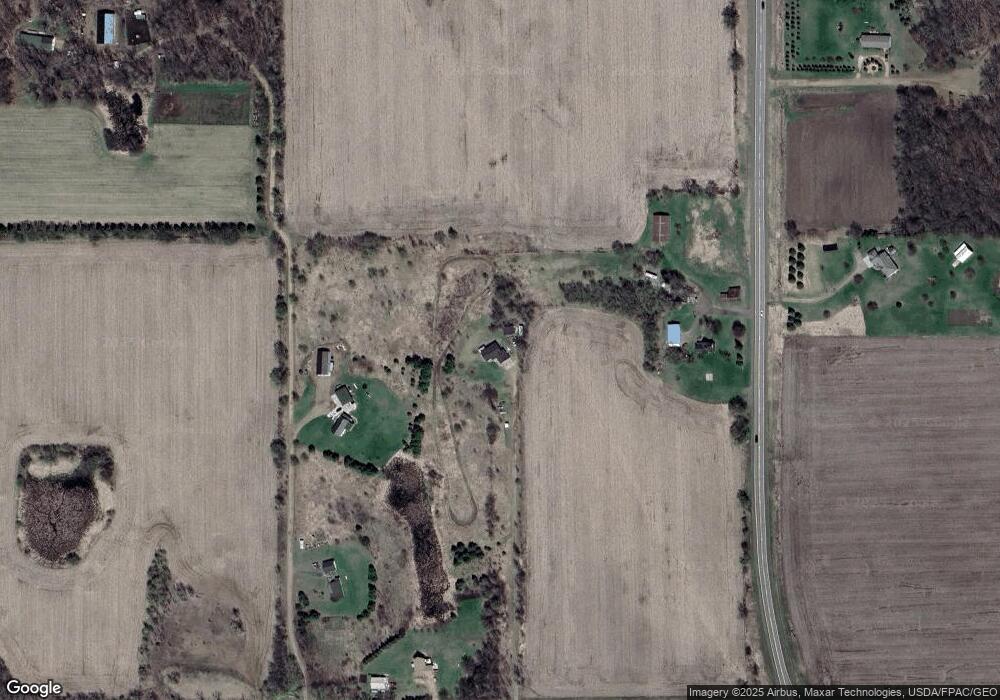
Map
Nearby Homes
- 2771 County Line Ave
- TBD 279th St
- 2276 44th St
- 368 280th St
- TBD Delong Rd
- 2523 40th Ave
- 161 230th St
- Lot #19 xxx 74th St
- Lot #1 xxx 74th St
- 480 Maple St
- 2136 62nd St
- 462 210th Ave
- 15947 Scandia Trail N
- 413 210th Ave
- 662 207th Ave
- 2113 80th St
- 2049 Broadway St
- 21860 Pomroy Ave N
- 167 Egret Ln
- 6XX 205th Ave
- 108 265th St
- 108 265th St
- 114 265th St
- 117 State Road 35
- XXXX 10th Ave
- 2641 10th Ave
- 116 State Road 35
- 2607 13th Ave
- 2619 13th Ave
- 2652 10th Ave
- xxx 10th Ave Lot 3
- xxx 10th Ave Lot 5
- 125 265th St
- 2602 13th Ave
- 2602 2602 13th Ave
- 2603 13th Ave
- xxx 10th Ave Lot 6
- 2664 10th Ave
- 2658 10th Ave
- 93 State Road 35