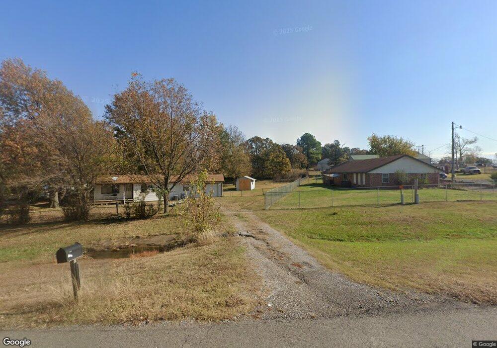
2637 N Highway 48 Mannford, OK 74044
Estimated Value: $213,000 - $237,075
3
Beds
4
Baths
1,980
Sq Ft
$116/Sq Ft
Est. Value
About This Home
This home is located at 2637 N Highway 48, Mannford, OK 74044 and is currently estimated at $229,519, approximately $115 per square foot. 2637 N Highway 48 is a home located in Creek County with nearby schools including Mannford Upper Elementary School, Mannford Lower Elementary School, and Mannford Middle School.
Ownership History
Date
Name
Owned For
Owner Type
Purchase Details
Closed on
May 19, 2020
Sold by
Stephenson Adam R and Stephenson Keli
Bought by
Stephenson Adam R and Stephenson Keli
Current Estimated Value
Home Financials for this Owner
Home Financials are based on the most recent Mortgage that was taken out on this home.
Original Mortgage
$126,775
Outstanding Balance
$112,094
Interest Rate
3.3%
Mortgage Type
FHA
Estimated Equity
$117,425
Purchase Details
Closed on
Aug 31, 2018
Sold by
Harding Sherry Marie and Estate Of Danny Ray Counts
Bought by
Stephenson Adam R
Home Financials for this Owner
Home Financials are based on the most recent Mortgage that was taken out on this home.
Original Mortgage
$122,735
Interest Rate
4.5%
Mortgage Type
FHA
Create a Home Valuation Report for This Property
The Home Valuation Report is an in-depth analysis detailing your home's value as well as a comparison with similar homes in the area
Home Values in the Area
Average Home Value in this Area
Purchase History
| Date | Buyer | Sale Price | Title Company |
|---|---|---|---|
| Stephenson Adam R | -- | Integrity Ttl & Closing Llc | |
| Stephenson Adam R | $125,000 | None Available |
Source: Public Records
Mortgage History
| Date | Status | Borrower | Loan Amount |
|---|---|---|---|
| Open | Stephenson Adam R | $126,775 | |
| Closed | Stephenson Adam R | $122,735 |
Source: Public Records
Tax History Compared to Growth
Tax History
| Year | Tax Paid | Tax Assessment Tax Assessment Total Assessment is a certain percentage of the fair market value that is determined by local assessors to be the total taxable value of land and additions on the property. | Land | Improvement |
|---|---|---|---|---|
| 2025 | $1,788 | $19,071 | $1,368 | $17,703 |
| 2024 | $1,788 | $19,845 | $1,368 | $18,477 |
| 2023 | $1,788 | $19,267 | $1,368 | $17,899 |
| 2022 | $1,346 | $15,696 | $1,368 | $14,328 |
| 2021 | $1,292 | $15,239 | $1,368 | $13,871 |
| 2020 | $1,290 | $14,795 | $1,368 | $13,427 |
| 2019 | $1,323 | $15,015 | $1,368 | $13,647 |
| 2018 | $739 | $7,594 | $981 | $6,613 |
| 2017 | $688 | $7,232 | $854 | $6,378 |
| 2016 | $557 | $6,887 | $733 | $6,154 |
| 2015 | -- | $6,687 | $663 | $6,024 |
| 2014 | -- | $6,492 | $595 | $5,897 |
Source: Public Records
Map
Nearby Homes
- 2365 S 361st West Ave
- 38087 W 28th St S
- 35846 Stone Creek Place
- 3042 State Highway 48
- 2464 S 369th West Ave
- 36516 Cramer Rd
- 35459 W 36th St S
- 2122 S 353rd West Ave
- 34392 W 33rd Place S
- 2950 S 385th West Ave
- 2945 Sunset Rd
- 33780 W 33rd Place S
- 4892 S 369th West Ave
- 140 Glendale Cir
- 750 Creek Ln
- 103 Dogwood
- 35820 W Hwy 33
- 1168 Shasta Ln
- 01 S 337th West Ave
- 653 Gibson Place
- 2637 S Highway 48
- 2605 N Highway 48
- 2605 S Highway 48
- 2606 S 361st West Ave
- 2587 N Highway 48
- 2557 N Highway 48
- 36395 Cambridge Rd
- 2568 S 361st West Ave
- 36300 Cambridge Rd
- 2538 S 361st West Ave
- 2673 S 361st West Ave
- 36283 W 28th St S
- 36479 Cambridge Rd
- 2613 S 361st West Ave
- 2543 S 361st West Ave
- 36149 W 28th St S
- 36367 W 28th St S
- 2482 N Highway 48
- 2484 S 361st West Ave
- 36488 Cambridge Rd