2637 Terrwood Dr W Unit 202 Macungie, PA 18062
Lower Macungie Township East NeighborhoodEstimated Value: $378,929 - $395,000
2
Beds
2
Baths
1,655
Sq Ft
$234/Sq Ft
Est. Value
About This Home
This home is located at 2637 Terrwood Dr W Unit 202, Macungie, PA 18062 and is currently estimated at $387,982, approximately $234 per square foot. 2637 Terrwood Dr W Unit 202 is a home located in Lehigh County with nearby schools including Macungie Elementary School, Eyer Middle School, and Emmaus High School.
Ownership History
Date
Name
Owned For
Owner Type
Purchase Details
Closed on
Jun 10, 2022
Sold by
Lechmanik Steven E
Bought by
Mory Larry G and Mory Nancy A
Current Estimated Value
Purchase Details
Closed on
Sep 30, 2005
Sold by
Knauss Jeanette Charlotte
Bought by
Lechmanik Steven E and Lechmanik Mark S
Home Financials for this Owner
Home Financials are based on the most recent Mortgage that was taken out on this home.
Original Mortgage
$201,600
Interest Rate
5.84%
Mortgage Type
Unknown
Purchase Details
Closed on
Dec 6, 2002
Sold by
Wild Cherry Knoll Lp
Bought by
Knauss Jeanette Charlotte
Home Financials for this Owner
Home Financials are based on the most recent Mortgage that was taken out on this home.
Original Mortgage
$80,000
Interest Rate
6.34%
Mortgage Type
Unknown
Create a Home Valuation Report for This Property
The Home Valuation Report is an in-depth analysis detailing your home's value as well as a comparison with similar homes in the area
Home Values in the Area
Average Home Value in this Area
Purchase History
| Date | Buyer | Sale Price | Title Company |
|---|---|---|---|
| Mory Larry G | $299,000 | Gross Mcginley Llp | |
| Lechmanik Steven E | $252,000 | None Available | |
| Knauss Jeanette Charlotte | $159,900 | Ticor Title Insurance Co |
Source: Public Records
Mortgage History
| Date | Status | Borrower | Loan Amount |
|---|---|---|---|
| Previous Owner | Lechmanik Steven E | $201,600 | |
| Previous Owner | Knauss Jeanette Charlotte | $80,000 |
Source: Public Records
Tax History Compared to Growth
Tax History
| Year | Tax Paid | Tax Assessment Tax Assessment Total Assessment is a certain percentage of the fair market value that is determined by local assessors to be the total taxable value of land and additions on the property. | Land | Improvement |
|---|---|---|---|---|
| 2025 | $5,663 | $221,800 | $0 | $221,800 |
| 2024 | $5,478 | $221,800 | $0 | $221,800 |
| 2023 | $5,369 | $221,800 | $0 | $221,800 |
| 2022 | $5,242 | $221,800 | $221,800 | $0 |
| 2021 | $5,131 | $221,800 | $0 | $221,800 |
| 2020 | $5,082 | $221,800 | $0 | $221,800 |
| 2019 | $4,995 | $221,800 | $0 | $221,800 |
| 2018 | $4,930 | $221,800 | $0 | $221,800 |
| 2017 | $4,843 | $221,800 | $0 | $221,800 |
| 2016 | -- | $221,800 | $0 | $221,800 |
| 2015 | -- | $221,800 | $0 | $221,800 |
| 2014 | -- | $221,800 | $0 | $221,800 |
Source: Public Records
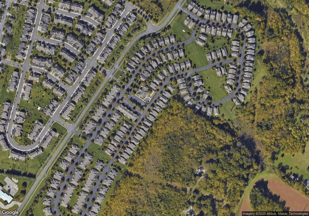
Map
Nearby Homes
- 2691 Terrwood Dr W Unit 176
- 2560 Gracie Lone
- 5706 Whitemarsh Dr
- 2173 Brookside Rd
- 4804 Parkview Dr S
- 4762 Steeplechase Dr Unit 13C
- 2518 Stanford Cir
- 2969 Aronimink Place
- 2570 Millbrook Dr
- 2992 Aronimink Place
- 2878 Whitemarsh Place
- 2834 Sheffield Dr
- 5175 Meadowview Dr
- 5314 Beaumont Ln
- 2980 Sheffield Dr
- 5357 Bradford Ln Unit 173
- 2756 Springhaven Place
- 2796 Springhaven Place
- 2777 Springhaven Place
- 1991 Autumn Ridge Rd
- 2623 Terrwood Dr W Unit 4
- 2639 Terrwood Dr W
- 2631 Terrwood Dr W Unit 205
- 2633 Terrwood Dr W Unit 204
- 2635 Terrwood Dr W Unit 203
- 2611 Terrwood Dr W Unit 10
- 2621 Terrwood Dr W Unit 5
- 2623 Terrwood Dr W
- 2615 Terrwood Dr W Unit 8
- 2613 Terrwood Dr W Unit 9
- 2639 Terrwood Dr W Unit 201
- 2619 Terrwood Dr W Unit 6
- 2617 Terrwood Dr W Unit 7
- 2625 Terrwood Dr W Unit 3
- 2627 Terrwood Dr W Unit 2
- 2629 Terrwood Dr W Unit 1
- 2781 Terrwood Dr E Unit 25
- 5166 Spring Ridge Dr E
- 5196 Spring Ridge Dr E