26374 S 500 Rd Tahlequah, OK 74464
Estimated Value: $251,000 - $445,282
3
Beds
2
Baths
1,680
Sq Ft
$207/Sq Ft
Est. Value
About This Home
This home is located at 26374 S 500 Rd, Tahlequah, OK 74464 and is currently estimated at $348,141, approximately $207 per square foot. 26374 S 500 Rd is a home located in Cherokee County.
Ownership History
Date
Name
Owned For
Owner Type
Purchase Details
Closed on
Feb 26, 2021
Sold by
Walker Jacky A and Walker Tiffany Nicole
Bought by
Carson Community Bank
Current Estimated Value
Purchase Details
Closed on
Jul 2, 2008
Sold by
Dickson Robert L and Dickson Juana Maria
Bought by
Harris Joe and Harris Linda
Purchase Details
Closed on
Jul 6, 2004
Sold by
James and Carolyn Dickson
Bought by
Robert and Dickson Juana M
Purchase Details
Closed on
May 28, 2002
Sold by
Robert L Dickson
Bought by
Robert and James Dickson
Purchase Details
Closed on
Apr 8, 2002
Sold by
Bill and Norma Kirk
Bought by
Robert L Dickson
Create a Home Valuation Report for This Property
The Home Valuation Report is an in-depth analysis detailing your home's value as well as a comparison with similar homes in the area
Home Values in the Area
Average Home Value in this Area
Purchase History
| Date | Buyer | Sale Price | Title Company |
|---|---|---|---|
| Carson Community Bank | -- | None Available | |
| Walker Jacky | $315,500 | Tahlequah Abstract & Ttl Co | |
| Harris Joe | $180,000 | Tahlequah Abstract Closing S | |
| Robert | -- | -- | |
| Robert | -- | -- | |
| Robert L Dickson | $99,000 | -- |
Source: Public Records
Tax History Compared to Growth
Tax History
| Year | Tax Paid | Tax Assessment Tax Assessment Total Assessment is a certain percentage of the fair market value that is determined by local assessors to be the total taxable value of land and additions on the property. | Land | Improvement |
|---|---|---|---|---|
| 2025 | $147 | $1,993 | $676 | $1,317 |
| 2024 | $147 | $1,697 | $1,164 | $533 |
| 2023 | $147 | $1,697 | $1,164 | $533 |
| 2022 | $134 | $1,697 | $1,164 | $533 |
| 2021 | $135 | $1,697 | $1,164 | $533 |
| 2020 | $140 | $1,729 | $1,164 | $565 |
| 2019 | $139 | $1,729 | $1,164 | $565 |
| 2018 | $138 | $1,729 | $1,164 | $565 |
| 2017 | $138 | $1,729 | $1,164 | $565 |
| 2016 | $135 | $1,689 | $1,036 | $653 |
| 2015 | $674 | $8,859 | $1,017 | $7,842 |
| 2014 | $674 | $8,600 | $987 | $7,613 |
Source: Public Records
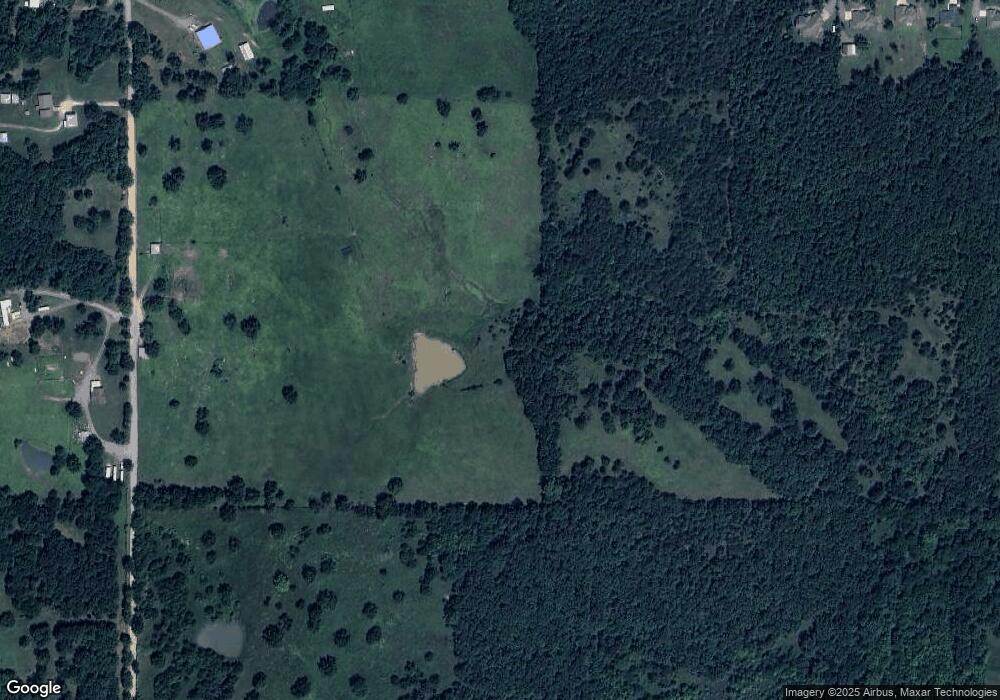
Map
Nearby Homes
- 0 S 500 Rd Unit 2526574
- 0 S 500 Rd Unit 2526465
- 17611 W Stone Chapel Rd
- 0 S Qualls Rd Unit 2543872
- 27254 S 490 Rd
- 16920 W 828 Rd
- 16981 W 828 Rd
- 18875 W Hunters Ct
- 18835 W Hunters Ct
- 18834 W Hunters Ct
- 26037 S 520 Rd
- 26496 S 520
- 25079 S 519 Rd
- 25130 S 519 Rd
- 0 Hwy 82 Hwy Unit 2536097
- TBD Canyon Rock Rd
- TBD Corner of W Boudinot & S Saddle Rock Dr
- TBD Overland
- TBD Timber Rd
- TBD Rocky Rd
- 26437 S 500 Rd
- 26241 S 500 Rd
- 26230 S 500 Rd
- 26215 S 500 Rd
- 26345 S 500 Rd
- 26100 S 500 Rd
- 26587 S 500 Rd
- 26635 S 500 Rd
- 16935 W Stone Chapel Rd
- 26026 S 500 Rd
- 17033 W Stone Chapel Rd
- 26199 S Epp Wagers Rd
- 26072 S 500 Rd
- 26197 S Epp Wagers Rd
- 16845 W Stone Chapel Rd
- 16923 W 850 Rd
- 17167 W Stone Chapel Rd
- 26291 S 505
- 16711 W Stone Chapel Rd
- 26193 S Epp Wagers Rd