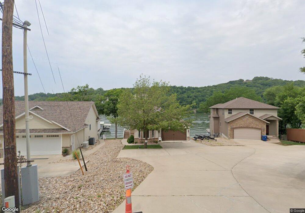
2638 Ozark Isle Dr Camdenton, MO 65020
Estimated Value: $519,000 - $813,000
--
Bed
3
Baths
3,764
Sq Ft
$191/Sq Ft
Est. Value
About This Home
This home is located at 2638 Ozark Isle Dr, Camdenton, MO 65020 and is currently estimated at $717,954, approximately $190 per square foot. 2638 Ozark Isle Dr is a home located in Camden County with nearby schools including Camdenton High School.
Ownership History
Date
Name
Owned For
Owner Type
Purchase Details
Closed on
Dec 21, 2022
Sold by
Hundman Robert L and Hundman Kathryn R
Bought by
Rice Janet K and Rice Jon K
Current Estimated Value
Purchase Details
Closed on
Sep 25, 2020
Sold by
Tucker J M & V J L Tr
Bought by
Rice Jon K
Home Financials for this Owner
Home Financials are based on the most recent Mortgage that was taken out on this home.
Original Mortgage
$510,400
Interest Rate
2.9%
Mortgage Type
Construction
Purchase Details
Closed on
Dec 1, 2009
Bought by
Tucker James M Trustees
Create a Home Valuation Report for This Property
The Home Valuation Report is an in-depth analysis detailing your home's value as well as a comparison with similar homes in the area
Home Values in the Area
Average Home Value in this Area
Purchase History
| Date | Buyer | Sale Price | Title Company |
|---|---|---|---|
| Rice Janet K | -- | Integrity Title Solutions Llc- | |
| Rice Jon K | $638,000 | Other | |
| Tucker James M Trustees | -- | -- |
Source: Public Records
Mortgage History
| Date | Status | Borrower | Loan Amount |
|---|---|---|---|
| Previous Owner | Rice Jon K | $510,400 |
Source: Public Records
Tax History Compared to Growth
Tax History
| Year | Tax Paid | Tax Assessment Tax Assessment Total Assessment is a certain percentage of the fair market value that is determined by local assessors to be the total taxable value of land and additions on the property. | Land | Improvement |
|---|---|---|---|---|
| 2023 | $2,283 | $52,280 | $0 | $0 |
| 2022 | $2,236 | $52,280 | $0 | $0 |
| 2021 | $2,236 | $52,280 | $0 | $0 |
| 2020 | $2,249 | $52,280 | $0 | $0 |
| 2019 | $2,249 | $52,280 | $0 | $0 |
| 2018 | $2,249 | $52,280 | $0 | $0 |
| 2017 | $2,136 | $52,280 | $0 | $0 |
| 2016 | $2,084 | $52,280 | $0 | $0 |
| 2015 | $2,214 | $52,280 | $0 | $0 |
| 2014 | $2,212 | $52,280 | $0 | $0 |
| 2013 | -- | $52,280 | $0 | $0 |
Source: Public Records
Map
Nearby Homes
- 182 Bluff Blvd Unit 3A
- 210 Bluff Blvd Unit 4B
- TBD Ogden Ave
- 595 Wa Ha Ma Dr
- TBD Wa Ha Ma Dr
- 127 Shorecrest Ave
- 49 Estates Cir
- 532 Lakeshore Dr
- 189 Wa Ha Ma Ct
- 155 Briarcliff Rd
- 616 Clearwater Dr Unit 2C
- 686 Clearwater Dr Unit 1E
- 686 Clearwater Dr Unit 2C
- 775 Clearwater Dr Unit 4A
- 775 Clearwater Dr Unit 3D
- 708 Clearwater Dr Unit 1 H
- 708 Clearwater Dr Unit 2D
- 71 Mission Hills Ln
- 77 Longwood Ln
- 201 Marina Residence Dr Unit 1D
- 2636 Ozark Isle Dr
- 2636 Ozark Isle
- 2640 Ozark Isle Dr
- 2634 Ozark Isle Dr
- 2634 Ozark Isle Dr
- 2644 Ozark Isle Dr
- 2632 Ozark Isle Dr
- 2652 Ozark Isle Dr
- 2624 Ozark Isle Dr
- 2660 Ozark Isle Dr
- 2616 Ozark Isle Dr
- 2616 Ozark Isle Dr
- 2614 Ozark Isle Dr
- 2606 Ozark Isle Dr
- 2592 Ozark Isle Dr
- 2680 Ozark Isle Dr
- 2686 Ozark Isle Dr
- 2702 Ozark Isle Dr
- 2718 Ozark Isle Dr
- 2538 Ozark Isle Dr